Live in Carrington
A brand-new community in Calgary's far north, part of the Keystone Hills plan — greenway trails, new-build housing, and services still arriving.
Carrington is one of Calgary's newest communities, part of the Keystone Hills Area Structure Plan approved in 2012. The land sat as prairie until the middle of the decade; by the 2021 federal census 2,750 people lived here, and building has continued since. Mattamy Homes and other builders are delivering townhomes, duplexes and single-family houses around Greenway Park and the Rotary/Mattamy Greenway trail. Like every new community, you are buying the plan as much as the house. This is what living here is actually like.
Prairie in 2016, a community by 2021, still arriving
In Calgary's far north between Stoney Trail and 144 Avenue N, west of Centre Street in the Keystone Hills plan area. Ward 3.
Carrington is the second still-building community on this site, and the numbers tell the pace: the census counted 71 people across this plan area in 2016 and 2,750 in Carrington alone by 2021. The Keystone Hills Area Structure Plan, approved in July 2012, governs the city's whole far-north growth front; Carrington is one of its first communities out of the ground.
Mattamy Homes and other builders are delivering the mix that new Calgary favours — urban townhomes, rear-lane duplexes and single-family houses — around Greenway Park, with playgrounds, a half basketball court and seating greens.
The trail is the signature. The Rotary/Mattamy Greenway — the 138 km pathway loop that circles the whole city — runs along the community, which means an afternoon ride reaches parks a quadrant away without touching a road.
Be clear about what exists. First retail has been arriving in phases; schools have not. Like Alpine Park in the southwest, you are buying the plan as much as the house — price the difference honestly.
- No school has opened inside the community; designations are outside it and will change
- Retail and services are arriving in phases — check what is actually open, not what is rendered
- Construction is the neighbourhood's normal state for years yet
- No CTrain: the Green Line's north leg remains a plan, not a service — budget for the bus or the drive
- The far north is exposed prairie — wind, hail season and earlier frost are real
How Carrington got here
- 2012The Keystone Hills Area Structure Plan is approved by council on 16 July, setting out the city's far-north growth.
- 2015Phase 1 of the Keystone Hills core plan completes and land servicing begins.
- 2016The federal census counts just 71 people across the plan area — still essentially prairie.
- 2010sMattamy Homes and other builders open Carrington's first phases; Greenway Park and the trail connections are built.
- 2021The federal census records 2,750 residents, with the wider plan area near 4,000.

A city-circling trail for a front path
Greenway Park anchors the community's centre, and the Rotary/Mattamy Greenway runs along its edge — 138 km of continuous pathway looping the entire city, connecting wetlands, parks and forty-plus communities. Confluence Park's Nose Creek valley is the nearest big natural area, seven to eleven minutes south.




The resident's angle: the Greenway is the amenity that matures with the community — every year another segment's worth of destinations, and it is the flattest, safest family cycling in the city.
14 places, with real drive times
Road-adjusted distance and drive time from the centre of the community to each destination, nearest first. Filter by category.
Showing 1–12 of 14 places, nearest first.
Method: distances and drive times are estimated from the centre of the community to each destination using Calgary's road grid, and are rounded to honest ranges rather than presented as precise figures. Read them with the build-out in mind: the close numbers are real today, the community's own services are still filling in, and downtown is a genuine suburban commute.
Every gym within reach
Nothing is open inside the community yet — Vivo in Country Hills is the anchor, and the trail is the free option. Confirm hours before you count on anything.
- Pools, gymnasium, fitness floor, climbing and a library branch under one roof
- Commercial clubs sit in the Country Hills retail district
- The Greenway is the free option and the community's design centrepiece
- Keystone Hills reserves future recreation sites — plans, not amenities
| Facility | What it is | Drive |
|---|---|---|
| Vivo for Healthier Generations open | The area's anchor: pools, gymnasium, fitness floor, climbing and a library branch, freshly expanded. | 6–10 min |
| Country Hills commercial clubs open | Commercial gyms in the Country Hills retail district. | 5–9 min |
| Greenway trail network open | Free option, and the community's design centrepiece — the Rotary/Mattamy Greenway loop runs along Carrington. | 1–3 min |
| Future recreation sites closed | Keystone Hills plans further community facilities as the area builds out. Plans, not amenities — do not budget around them yet. | — |
Do not budget around reserved sites. A recreation site in an area structure plan has no construction date.
No school inside the community yet
This is the most important practical fact for families: Carrington students are designated to schools outside the community, and in a building-out area those designations move. The plan reserves school sites; a reserved site is not a school.
| School | Board | Note |
|---|---|---|
| No school open inside the community yet | Both boards | Carrington students are designated to schools outside the community, and designations change as the area builds out. |
| Calgary Board of Education designations | Calgary Board of Education | Confirm the current designation and busing for a specific address before you buy. |
| Calgary Catholic School District designations | Calgary Catholic | Likewise assigned outside the community for now; no tuition for a resident student at either board. |
| School sites in the plan | Both boards | The Keystone Hills plan reserves school sites — a reserved site is not a construction date. |
Alberta funds Catholic education the same way it funds public education, so there is no tuition for a resident student at either board. Ask both boards for the current designation and busing for the specific address, in writing, before you buy.
Month by month, what living here looks like
Not a highlights reel — the actual annual rhythm, including the dates residents have to remember.
- Open to the prairie north wind — the most exposed community on this site
- Priority snow routes keep the main roads clear
- Indoor recreation carries the season
- Long dark evenings, but rarely for weeks at a stretch
- Ski traffic west on the Trans-Canada peaks on Friday and Sunday
- Coldest snaps usually break with a chinook
- Noticeably longer light by month end
- Indoor pools at their busiest
- Melt and refreeze on the side streets — ice cleats weather
- Pathways reopen as the snow goes
- First patio afternoons on the warm chinook days
- Street sweeping begins late in the month
- Construction season restarts across the unbuilt phases
- Pathway and park season opens properly
- Garden centres open across the quadrant
- Migratory birds return to the parks
- Long evenings — sunset past 9pm by month end
- Lilacs and crabapples through the older streets
- Field sport seasons start on the community greens
- First genuinely warm stretches
- Peak daylight at the solstice — over 16 hours
- School year ends and the parks fill
- Evening thunderstorms begin building over the foothills
- Farmers' markets open for the season
- Evening thunderstorms sweep the open north — watch the hail forecast
- Hottest month, with cool nights at this elevation
- Evening thunderstorms roll off the foothills
- Canada Day events in the parks
- Folk Festival on Prince's Island mid-month
- Kananaskis and Banff at their best, straight west
- Quietest weeks before school returns
- Smoke from western wildfires is possible
- New-phase completions cluster before winter
- First frost typically arrives late in the month
- Poplar and aspen colour begins
- Evenings shorten fast
- Peak autumn colour through the older tree-lined streets
- First snow is normal, and normally melts
- Snow tires go on across the quadrant
- Nose Hill's grasses turn gold
- Ski season opens west on the Trans-Canada
- Dark by 5pm
- Freeze sets in for good
- Holiday retail season begins
- Chinook arches over the western skyline on clear days
- Holiday lights through the community streets
- Outdoor rinks open when the freeze holds
- Quiet, short days between the holidays
36 photographs of the community and its surroundings
All freely licensed and served from this app — nothing loads from a third party. Filter by category.








Showing 1–12 of 36 photographs.
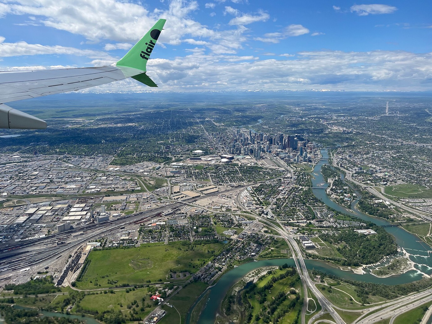
Honesty note. This page uses only the general Calgary, seasonal, Alberta-wildlife and day-trip photography from the site's shared library. Nothing here is presented as a photograph of Carrington itself.