
Live in Citadel
A 1993 community at the city's highest northwest corner — 1,255 m up, ringed by Stoney Trail, with the strongest incomes on this side of town.
Citadel was established in 1993 on land annexed a decade earlier, at the top corner of the city — 1,255 m, the highest elevation of any community on this site. It filled in fast and prosperously: 10,435 residents in 3,485 dwellings at the 2016 census, a median household income of $116,851 and just 7% low income. Stoney Trail wraps its north and west, which means the mountains and the rest of the city are equally reachable. This is what living here is actually like.
The high corner — 1,255 metres and the strongest incomes on this side of town
Bordered by Stoney Trail on the north and west, Country Hills Boulevard on the south and Sarcee Trail on the east. Ward 2.
Citadel was established in 1993 on land annexed in 1983, at the very top corner of the city — 1,255 m, the highest elevation of any community on this site. It built out fast through the 1990s and settled into prosperity: 10,435 residents in 3,485 dwellings at the 2016 census, median household income $116,851, low income just 7%.
The streets are 1990s suburban — curving crescents, attached garages, family lots — and the community is noticeably multilingual: English, Mandarin, Cantonese, Spanish, Arabic and Punjabi are all commonly spoken.
The ring road changed the address. Stoney Trail forms the north and west boundaries, and its completion means the airport, the mountains and the far side of the city are all direct — Banff in about an hour and ten minutes is the quickest mountain exit of any established community here.
Crowfoot is the service centre: one of Calgary's largest retail districts, the YMCA and library, and the Red Line's Crowfoot station, all four to eight minutes east.
- Early-90s builds can carry late-era poly-B plumbing — have it verified
- Original mid-90s roofs and furnaces are at replacement age where not yet done
- Stoney Trail borders two edges — backing homes hear it; listen before you buy
- The highest ground in the city: more wind, more snow, earlier frost
- Transit means the bus to Crowfoot station — car-free living is hard here
How Citadel got here
- 1983The land is annexed by the City of Calgary.
- 1993Citadel is established at the city's northwest corner.
- 1990sRapid build-out through the decade as the northwest edge fills in.
- 2016Census records 10,435 residents in 3,485 dwellings, with a median household income of $116,851.
- 2020sStoney Trail's completion turns the community's two edge-roads into a full ring road connection.
High-ground pathways, with the big parks a ring-road hop away
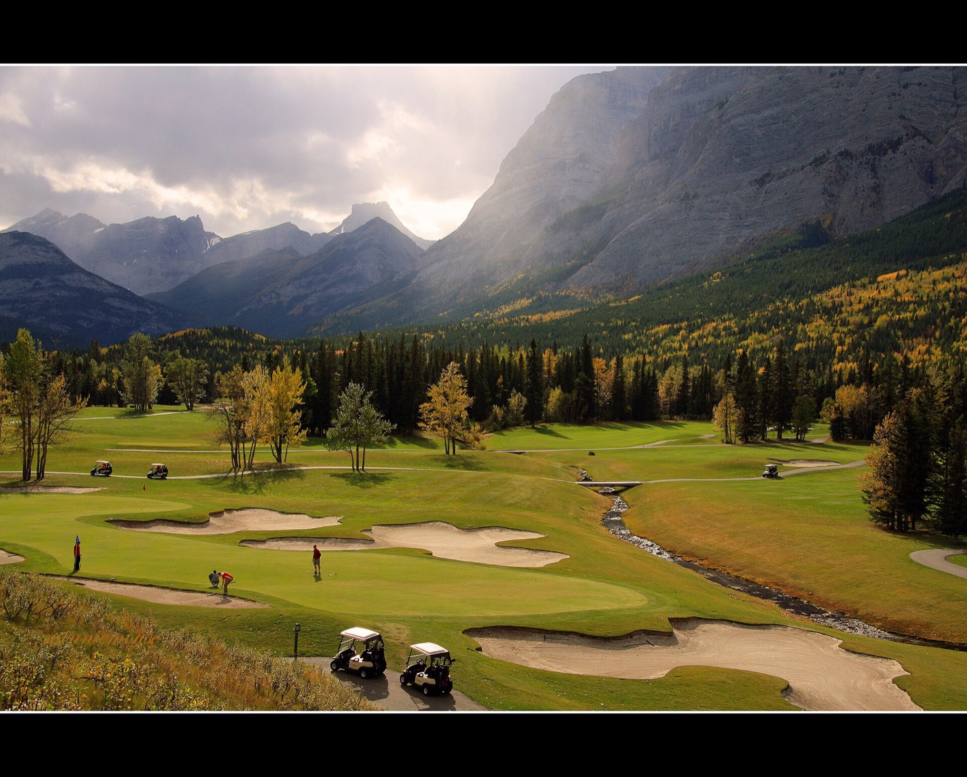
Citadel's own green space is the 1990s kind — an internal park and pathway network threading the crescents, with long foothills views from the high ground. The big destinations ride the ring road: Nose Hill eight to twelve minutes, Bowness Park and WinSport about ten, and the mountains beyond.




The resident's angle: elevation is the daily amenity — the views west from the community's high streets are the best of any established community on this site, and the sunsets are a local sport.
16 places, with real drive times
Road-adjusted distance and drive time from the centre of the community to each destination, nearest first. Filter by category.
Showing 1–12 of 16 places, nearest first.
Method: distances and drive times are estimated from the centre of the community to each destination using Calgary's road grid, and are rounded to honest ranges rather than presented as precise figures. The ring road skews everything: city destinations read far, but the airport, Cochrane and Banff read unusually close.
Every gym within reach
Crowfoot carries the facilities — the YMCA, the commercial clubs and the station are all in one district. Confirm hours before you count on any of them.
- Crowfoot Crossing's commercial gyms add the big-box options
- WinSport's Olympic-legacy training centre and ski hill are ten to fifteen minutes south
- The university's full offering is eleven to sixteen minutes when needed
- The community's own pathway network is the free option, views included
| Facility | What it is | Drive |
|---|---|---|
| Melcor YMCA at Crowfoot open | Pool, fitness floor, gymnasium and programming, with the Crowfoot Library attached. | 4–7 min |
| Crowfoot Crossing clubs open | Commercial gyms across the Crowfoot retail district. | 4–7 min |
| WinSport Performance Training Centre open | Olympic-legacy training facilities, ice and ski hill at Canada Olympic Park. | 10–15 min |
| Citadel pathways open | Free option: the community's internal pathway network, with long foothills views from the high ground. | 1–3 min |
| University of Calgary Active Living open | The full campus offering — pools, Oval, climbing wall — when the closer options don't fit. | 11–16 min |
WinSport deserves the second look — a doorstep ski hill within fifteen minutes is a real family amenity, not a novelty.
K–9 close, senior high nearby
Citadel Park School carries K–4 inside the community, Arbour Lake School takes grades 5–9 next door, and St. Brigid serves the Catholic side. Robert Thirsk is the designated senior high nearby.
| School | Board | Note |
|---|---|---|
| Citadel Park School | Calgary Board of Education | Public elementary (K–4) inside the community. |
| Arbour Lake School | Calgary Board of Education | Grades 5–9, in neighbouring Arbour Lake. |
| St. Brigid School | Calgary Catholic | Catholic elementary and junior high serving the community. |
| Robert Thirsk High School | Calgary Board of Education | Designated senior high nearby. Confirm for a specific address. |
Alberta funds Catholic education the same way it funds public education, so there is no tuition for a resident student at either board. Confirm the current designation for a specific address — the northwest edge's catchments have moved as new communities filled in.
Month by month, what living here looks like
Not a highlights reel — the actual annual rhythm, including the dates residents have to remember.
- The highest community on this site — snow arrives first and stays longest here
- Priority snow routes keep the main roads clear
- Indoor recreation carries the season
- Long dark evenings, but rarely for weeks at a stretch
- Ski traffic west on the Trans-Canada peaks on Friday and Sunday
- Coldest snaps usually break with a chinook
- Noticeably longer light by month end
- Indoor pools at their busiest
- Melt and refreeze on the side streets — ice cleats weather
- Pathways reopen as the snow goes
- First patio afternoons on the warm chinook days
- Street sweeping begins late in the month
- Last hard frosts — planting waits for the May long weekend
- Pathway and park season opens properly
- Garden centres open across the quadrant
- Migratory birds return to the parks
- Long evenings — sunset past 9pm by month end
- Lilacs and crabapples through the older streets
- Field sport seasons start on the community greens
- First genuinely warm stretches
- Peak daylight at the solstice — over 16 hours
- School year ends and the parks fill
- Evening thunderstorms begin building over the foothills
- Farmers' markets open for the season
- Evening thunderstorms build over the foothills and hit the high ground first
- Hottest month, with cool nights at this elevation
- Evening thunderstorms roll off the foothills
- Canada Day events in the parks
- Folk Festival on Prince's Island mid-month
- Kananaskis and Banff at their best, straight west
- Quietest weeks before school returns
- Smoke from western wildfires is possible
- School year restarts and morning traffic thickens
- First frost typically arrives late in the month
- Poplar and aspen colour begins
- Evenings shorten fast
- First frost comes earlier at 1,255 m than anywhere else on this site
- First snow is normal, and normally melts
- Snow tires go on across the quadrant
- Nose Hill's grasses turn gold
- Ski season opens west on the Trans-Canada
- Dark by 5pm
- Freeze sets in for good
- Holiday retail season begins
- Chinook arches over the western skyline on clear days
- Holiday lights through the community streets
- Outdoor rinks open when the freeze holds
- Quiet, short days between the holidays
36 photographs of the community and its surroundings
All freely licensed and served from this app — nothing loads from a third party. Filter by category.








Showing 1–12 of 36 photographs.
Honesty note. This page uses only the general Calgary, seasonal, Alberta-wildlife and day-trip photography from the site's shared library. Nothing here is presented as a photograph of Citadel itself.