
Live in Coach Hill
A 1979 hillside community at the western end of the Blue Line, with more condominiums and townhouses than any of its escarpment neighbours and a quarter of residents over 65.
Coach Hill was annexed to the city in 1956 and established as a neighbourhood in 1979: 1.1 km², 3,275 residents in 1,500 dwellings at the 2021 census, with 17% renting. The 69 Street CTrain station — the Blue Line's western terminus — sits on the community's own edge, and Sarcee Trail and Bow Trail form two of its four boundaries. A quarter of residents are 65 or older, well above the city average, and the housing here leans harder toward condominiums and townhouses than any of the escarpment communities around it. This is what living here is actually like.
A 1979 hillside community built around the line's last stop
Bounded by Old Banff Coach Road to the north, Sarcee Trail to the east, Bow Trail to the south, and 69 Street SW to the west. Ward 6.
The land was annexed to the city in 1956 and Coach Hill was established as a neighbourhood in 1979 — 1.1 km², 3,275 residents in 1,500 dwellings at the 2021 census. It is the smallest of the four hillside communities along this stretch of the escarpment.
The two edges. The 69 Street CTrain station — the Blue Line's western terminus — sits right on the community's own boundary, and Sarcee Trail and Bow Trail form two more of its four sides. That terminus station is most of why Coach Hill exists in its current form: it pulled condominium and townhouse development toward the line in a way the surrounding single-family communities never saw.
Who lives here. A quarter of residents are 65 or older, well above the city average, and 17% rent — both higher than the family-heavy communities further along the escarpment. Median household income was $96,000 in 2020, noticeably lower than its neighbours, which tracks with the heavier condo and townhouse stock.
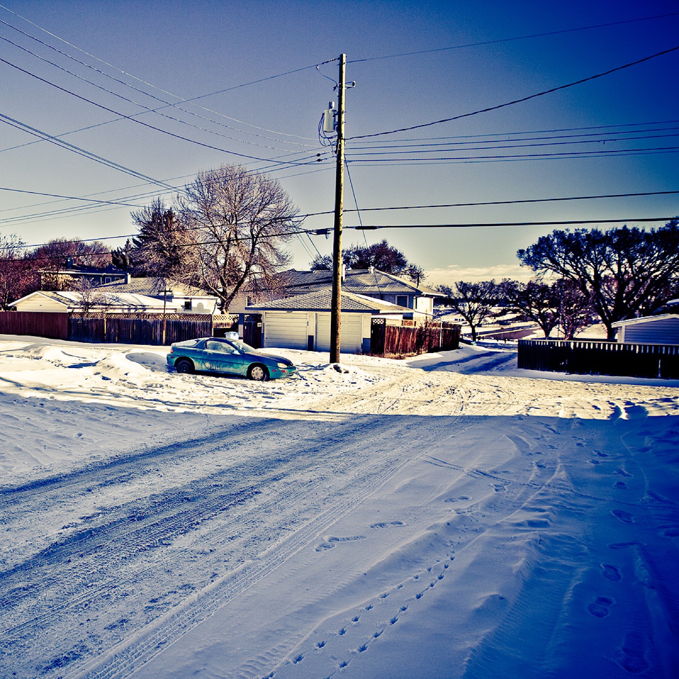
- Condo and townhouse turnover is higher here than in the single-family communities nearby — check the reserve fund
- The 69 Street terminus draws real weekday parkade and platform crowds at rush hour
- No school sits inside Coach Hill; every family here does a designated-school commute
- A quarter of the population is 65 or older — this is not primarily a young-family market
How Coach Hill got here
- 1956The land is annexed to the City of Calgary.
- 1979Coach Hill is established as a neighbourhood.
- 201269 Street Station opens as the terminus of the new West LRT line, now the Blue Line.
- 2021Federal census records 3,275 residents in 1,500 dwellings, with rental at 17%.


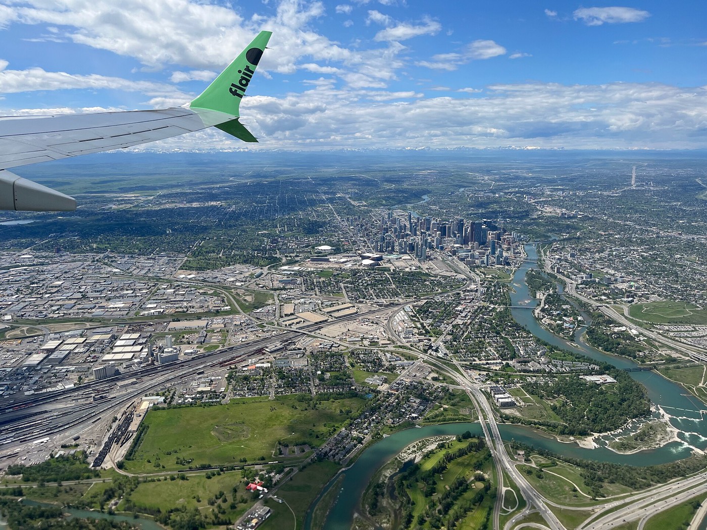
No park of its own — the escarpment does the work
Coach Hill has no named park inside its own boundary. What it has instead is quick access to Strathcona Ravine to the south and Edworthy Park to the northeast, both reached across Sarcee Trail or Old Banff Coach Road rather than on foot from most of the community.




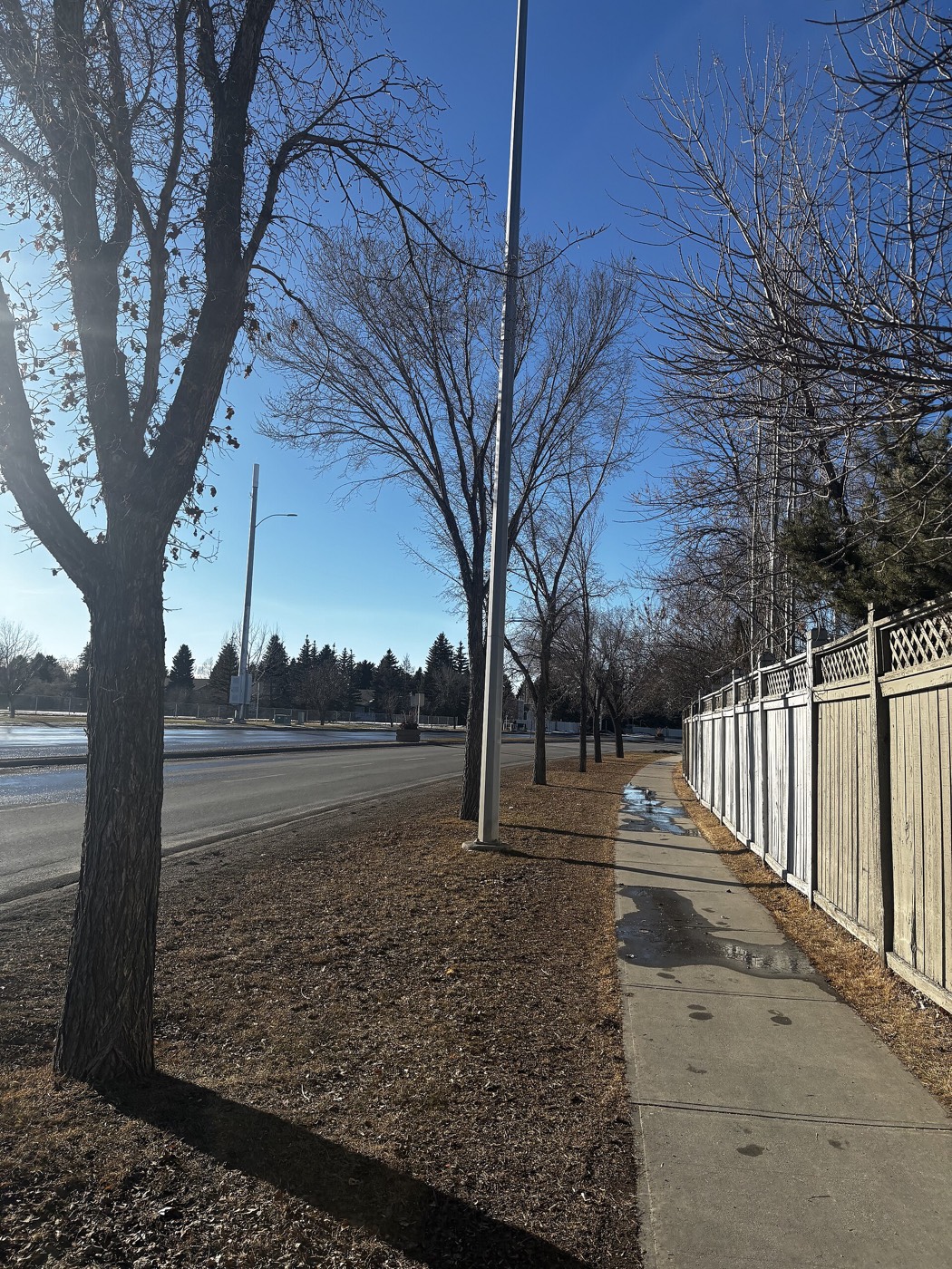
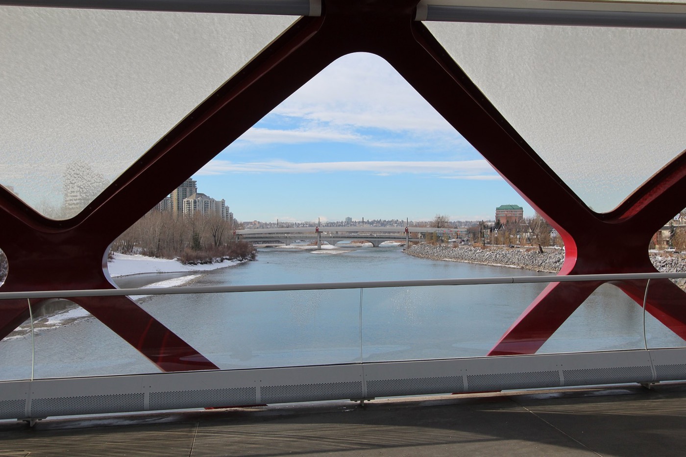
The resident's angle: this is a drive-to-the-trailhead community, not a walk-out-the-door one — the ravine and Edworthy Park are close, but neither sits on Coach Hill's own ground.
13 places, with real drive times
Road-adjusted distance and drive time from the centre of the community to each destination, nearest first. Filter by category.
Showing 1–12 of 13 places, nearest first.
Method: distances and drive times are estimated from the centre of the community to each destination using Calgary's road grid, and are rounded to honest ranges rather than presented as precise figures. The 69 Street terminus and Westside Recreation Centre are close enough to be genuinely walkable for most of the community.
Every gym within reach
Westside Recreation Centre sits right by the LRT terminus and is the real anchor for this whole cluster of hillside communities, with WinSport a short drive north.
- Wave pool, two ice rinks, a climbing wall and a full fitness centre
- Canada Olympic Park adds a ski hill, luge track and year-round training gym across the river
- Signal Hill and Westhills carry a cluster of commercial gyms nearby
- The escarpment and ravine trail network south of Bow Trail is the free option
| Facility | What it is | Drive |
|---|---|---|
| Westside Recreation Centre open | Wave pool, two ice rinks, climbing wall and fitness centre, walkable from the 69 Street station. | 2–3 min |
| Canada Olympic Park (WinSport) open | Ski hill, luge track and a year-round training gym across the river. | 7–9 min |
| Escarpment & ravine pathways open | Free option: the trail network south of Bow Trail, toward Strathcona Ravine. | 3–5 min |
| Signal Hill & Westhills district clubs open | Commercial gyms around the two shopping centres. | 5–7 min |
Westside carries the load here — there is no free park inside Coach Hill itself to fall back on.
No school inside the community — every family designates out
Coach Hill has no school of its own. CBE elementary designates to Olympic Heights School in neighbouring Strathcona Park, and Ambrose University and Rundle College sit close by for post-secondary and private options.
| School | Board | Note |
|---|---|---|
| Designated schools | Both boards | No school sits inside Coach Hill: CBE designates to Olympic Heights School for elementary (in neighbouring Strathcona Park), Bishop Pinkham or Vincent Massey for junior high, and Central Memorial or Western Canada for senior high; Calgary Catholic School District designates to John W. Costello Elementary, also in Strathcona Park. Confirm the current designation for a specific address. |
| Ambrose University | Post-secondary | Private Christian university beside the 69 Street LRT terminus. |
| Rundle College | Private | K-12 private school near the community's western edge. |
Alberta funds Catholic education the same way it funds public education, so there is no tuition for a resident student at either board. Confirm the current designation for a specific address — with no school inside the community, every household here does a designated-school commute of some length.
Month by month, what living here looks like
Not a highlights reel — the actual annual rhythm, including the dates residents have to remember.
- The 69 Street terminus platform is the Blue Line's coldest wait, fully exposed at the end of the line
- Westside Recreation Centre's wave pool is the warmest room within walking distance
- Old Banff Coach Road gets priority plowing ahead of the condo parking courts
- Ambrose University's winter term brings its first real crowd back to the 69 Street lot
- A chinook off the escarpment can clear Coach Hill's exposed 1,215-metre elevation faster than the valley below
- Rundle College's mid-winter break empties the school-run traffic on Old Banff Coach Road for a week
- Condo hallways smell like everyone's furnace running at once
- Retirees make up a quarter of the community, and the seniors' programs at Westside fill first before the working households register
- Meltwater pools in the townhouse parking courts before the storm drains catch up
- The 69 Street parkade empties out as Ambrose's winter term wraps
- Sarcee Trail's shoulder ice lingers on the shaded east-facing condo blocks
- Cleats are the right footwear on the ravine trail switchbacks south of Bow Trail
- Rundle College's spring sports season moves outdoors onto the school's own fields
- Condo boards start their spring exterior maintenance rounds on the townhouse blocks
- Westside Recreation Centre's outdoor deck reopens for the season
- Last hard frosts pass before the community association plants out its boulevards
- The 69 Street lot fills earlier as Ambrose's spring term overlaps the morning commute
- Sunset past 9pm turns the escarpment trail south of Bow Trail into an evening loop
- Signal Hill and Westhills book out their patio seating on the first warm weekends
- Condo balconies along the ridge get their planters out early for the western exposure
- School lets out and the 69 Street platform quiets outside the morning commute
- Westside Recreation Centre's summer camps fill the parking court by 8am
- Peak daylight at the solstice gives the escarpment ridge a long golden hour
- WinSport's summer programs draw families north across Old Banff Coach Road
- Signal Hill and Westhills' parking lots run near capacity through the Stampede stretch
- The condo towers along the ridge stay several degrees cooler than the valley floor
- Evening thunderstorms build over the foothills, visible from the community's western edge
- Rundle College's summer day camps use the school grounds through the break
- Ambrose University's residence move-in traffic builds on Old Banff Coach Road late in the month
- Westside Recreation Centre's outdoor deck sees its last full month before the fall schedule
- Kananaskis-bound traffic on the Trans-Canada is visible from the ridge on clear evenings
- Condo turnover picks up ahead of the fall lease season
- Rundle College and Ambrose both restart the same week, doubling the Old Banff Coach Road commute
- The 69 Street lot fills to capacity again as students and commuters overlap
- First frost typically arrives late in the month on the exposed ridge
- Condo lease turnover peaks as September leases replace August ones
- Peak colour runs along the ravine trail south of the community
- Snow tires go on before the first real snowfall reaches the 1,215-metre ridge
- Westside Recreation Centre's swim lessons carry the shortening afternoons
- The seniors' programs at Westside see their heaviest fall enrolment
- WinSport's ski runs open for the season, visible from the ridge after dark
- Dark commutes mean the 69 Street platform lights come on before five
- Old Banff Coach Road gets its first real ice on the shaded northern curve
- Rundle College's holiday concert fills the school parking court
- A chinook arch over the ridge can turn a −20 morning into a +5 afternoon by the drive home
- Westside Recreation Centre's rinks run public skating at full capacity over the break
- The 69 Street parkade sits half-empty through the holiday week
- Condo hallways go quiet as the retiree population settles in for the season
36 photographs of the community and its surroundings
All freely licensed and served from this app — nothing loads from a third party. Filter by category.






Showing 1–12 of 36 photographs.
Honesty note. This page uses only the general Calgary, seasonal, Alberta-wildlife and day-trip photography from the site's shared library. Nothing here is presented as a photograph of Coach Hill itself.