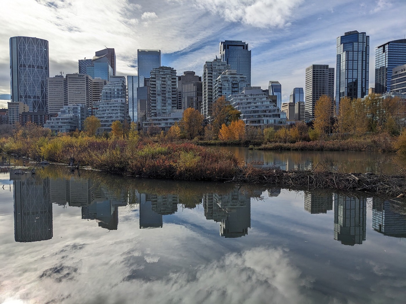
Live in Highland Park
A 1946 inner-north community on Centre Street — the city's cheapest close-in land, and priced accordingly.
Highland Park was established in 1946 on land annexed in 1910, straddling the Centre Street corridor: 3,792 residents in 2,123 dwellings at the 2012 civic census. It is the inner north at its most unvarnished — median household income of $37,766 at the 2000 count, 64% rental — with the closed Highland golf course's lands in its north and the promised Green Line pencilled up its spine. This is what living here is actually like.
The corridor community waiting on a train
Bounded north by McKnight Boulevard, east by Edmonton Trail, south by 32 Avenue N and west by 4 Street W. Ward 4.
Highland Park was established in 1946 along Centre Street: 3,792 residents in 2,123 dwellings at the 2012 civic census, 64% rental — the inner north's most affordable and most transient streets.
Two open questions define its future. The closed Highland golf course lands in the north have been a redevelopment fight for two decades; and the Green Line's north leg is pencilled up Centre Street — a train that keeps being promised and keeps sliding.
Meanwhile the location does what it always did: downtown in about ten minutes, the airport in fifteen, Confederation Park a walk west — close-in land at the city's lowest close-in prices.
- Majority rental and high turnover — street condition varies block to block
- Post-war stock carries the era's full inspection list
- The golf-course lands and the Green Line are both open files — buy on what exists
- Centre Street and McKnight carry heavy traffic through and past the community
How Highland Park got here
- 1910The land is annexed by the City of Calgary.
- 1946Highland Park is established along the Centre Street corridor.
- 2000sThe Highland golf course closes; its lands become the community's long-running redevelopment question.
- 2010s–20sGreen Line planning repeatedly routes the north leg up Centre Street — construction keeps sliding.

Confederation across the street, the old course up the hill
Confederation Park is a fifteen-minute walk west; the former course lands sit open in the north while their future is argued; and Queens Park Cemetery's quiet green holds the southwest corner.




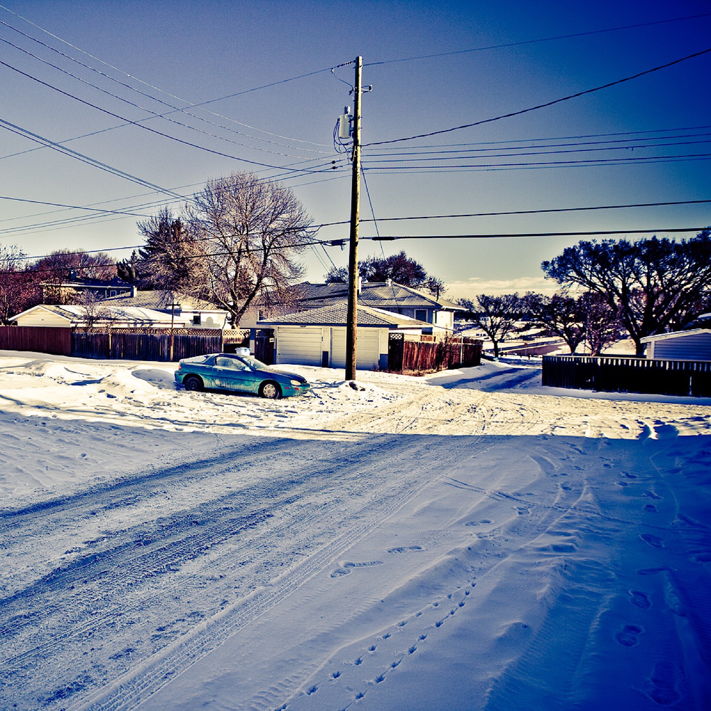
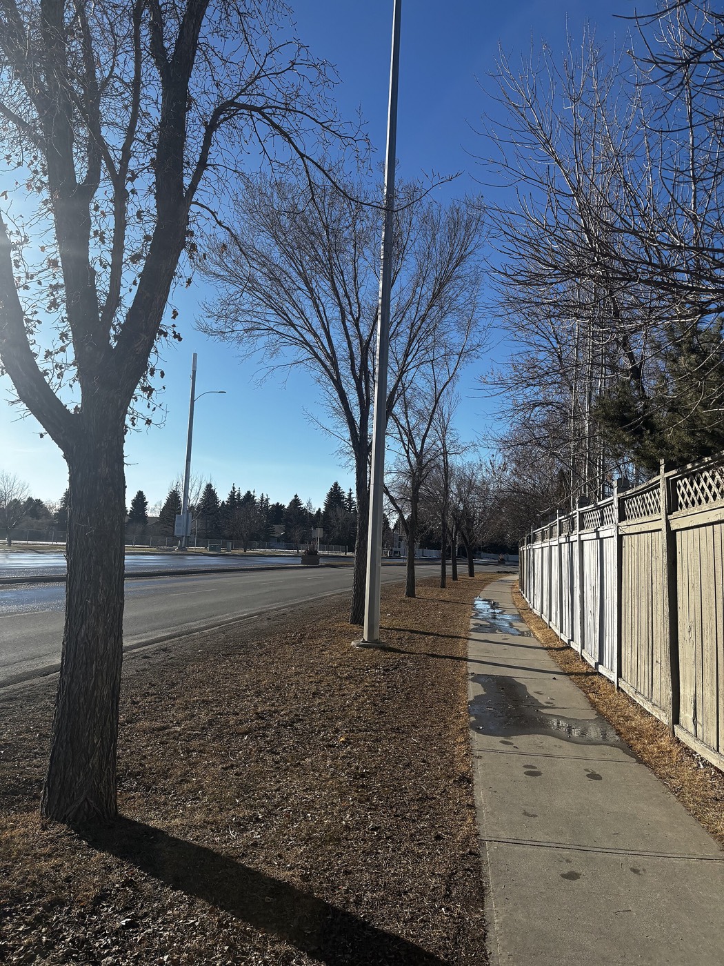
The resident's angle: the course lands are the wildcard — whatever gets built there resets the community's north half. Follow the file before you buy near it.
11 places, with real drive times
Road-adjusted distance and drive time from the centre of the community to each destination, nearest first. Filter by category.
Showing 1–11 of 11 places, nearest first.
Method: distances and drive times are estimated from the centre of the community to each destination using Calgary's road grid, and are rounded to honest ranges rather than presented as precise figures. The corridor does everything: downtown one way, the airport the other, and the promised train up the middle.
Every gym within reach
Thornhill up the street and SAIT down it. Confirm access rules before you count on anything.
- SAIT's Wellness Centre offers public memberships southwest
- Corridor clubs cover the basics
- Confederation Park is the free option
- The flat corridor makes cycling downtown practical
| Facility | What it is | Drive |
|---|---|---|
| Thornhill Aquatic & Recreation Centre open | City-run pool, gymnasium and fitness centre on Centre Street north. | 3–5 min |
| SAIT Wellness Centre open | Campus fitness centre and gymnasium — public memberships available; confirm access rules. | 6–10 min |
| Confederation Park pathways open | Free option: coulee and golf-course pathways across 4 Street. | 2–4 min |
| Corridor commercial gyms open | Small clubs along Centre Street and McKnight. | 2–4 min |
Thornhill is the neighbourhood's default — close, cheap and city-run.
The Fowler ladder
Buchanan carries elementary, Georges P. Vanier the junior years and James Fowler the seniors — all on or near the corridor.
| School | Board | Note |
|---|---|---|
| Buchanan School | Calgary Board of Education | Public elementary (K–6) inside the community. |
| Georges P. Vanier School | Calgary Board of Education | Public junior high (6–9). |
| James Fowler High School | Calgary Board of Education | Senior high on the community's edge. |
Alberta funds Catholic education the same way it funds public education, so there is no tuition for a resident student at either board. Confirm the designation for a specific address — corridor catchments shift with redevelopment.
Month by month, what living here looks like
Not a highlights reel — the actual annual rhythm, including the dates residents have to remember.
- Confederation Park's lights walk is a fifteen-minute walk west
- Priority snow routes keep the main roads clear
- Indoor recreation carries the season
- Long dark evenings, but rarely for weeks at a stretch
- Ski traffic west on the Trans-Canada peaks on Friday and Sunday
- Coldest snaps usually break with a chinook
- Noticeably longer light by month end
- Indoor pools at their busiest
- Melt and refreeze on the side streets — ice cleats weather
- Pathways reopen as the snow goes
- First patio afternoons on the warm chinook days
- Street sweeping begins late in the month
- Last hard frosts — planting waits for the May long weekend
- Pathway and park season opens properly
- Garden centres open across the quadrant
- Migratory birds return to the parks
- Long evenings — sunset past 9pm by month end
- Lilacs and crabapples through the older streets
- Field sport seasons start on the community greens
- First genuinely warm stretches
- Peak daylight at the solstice — over 16 hours
- School year ends and the parks fill
- Evening thunderstorms begin building over the foothills
- Farmers' markets open for the season
- Calgary Stampede — ten days across the city
- Hottest month, with cool nights at this elevation
- Evening thunderstorms roll off the foothills
- Canada Day events in the parks
- Folk Festival on Prince's Island mid-month
- Kananaskis and Banff at their best, straight west
- Quietest weeks before school returns
- Smoke from western wildfires is possible
- Corridor traffic thickens with the school year
- First frost typically arrives late in the month
- Poplar and aspen colour begins
- Evenings shorten fast
- Peak autumn colour through the older tree-lined streets
- First snow is normal, and normally melts
- Snow tires go on across the quadrant
- Nose Hill's grasses turn gold
- Ski season opens west on the Trans-Canada
- Dark by 5pm
- Freeze sets in for good
- Holiday retail season begins
- Chinook arches over the western skyline on clear days
- Holiday lights through the community streets
- Outdoor rinks open when the freeze holds
- Quiet, short days between the holidays
36 photographs of the community and its surroundings
All freely licensed and served from this app — nothing loads from a third party. Filter by category.







Showing 1–12 of 36 photographs.
Honesty note. This page uses only the general Calgary, seasonal, Alberta-wildlife and day-trip photography from the site's shared library. Nothing here is presented as a photograph of Highland Park itself.