
Live in Monterey Park
A 1985 northeast Calgary community with a deliberate Californian theme, its southern edge sitting directly on the Trans-Canada Highway.
Monterey Park was annexed to the city in stages between 1979 and 1989 and established as a community in 1985, named for Monterey Park, California, with the theme carried through in street names and building styles. At the 2012 municipal census it was home to 10,470 residents in 3,164 dwellings across 3.4 km², a density of roughly 3,080 people per km² — one of the denser, more built-out communities in the northeast. It sits immediately south of Coral Springs, sharing McKnight Boulevard as the line between them. This is what living here is actually like.
A California theme on the Trans-Canada, sharing a boundary with Coral Springs
Bounded north by McKnight Boulevard, east by 84 Street NE, south by the Trans-Canada Highway (16 Avenue NE), and west by 68 Street NE. Ward 5.
Monterey Park was annexed to the city in stages — most of the land between 1979 and 1983, the remainder in 1989 — and established as a community in 1985. It is named for Monterey Park, California, and the theme was carried straight through: street names and building styles across the community still point the same direction.
It shares its northern boundary, McKnight Boulevard, with Coral Springs, and its southern boundary is the Trans-Canada Highway itself — a direct route downtown or east toward Chestermere. 68 Street NE forms the western edge and 84 Street NE the eastern one.
Housing mix. The community is overwhelmingly single-family detached, with just 6.3% of housing rented at the last long-form count. Median household income was $64,208 in 2000, with 9.9% low income.
Who lives here. 45.1% of residents were immigrants at the 2000 count, and by the 2012 municipal census the community held 10,470 residents in 3,164 dwellings — a density of roughly 3,080 people per km², among the denser, more built-out communities in the northeast.

- Homes are around forty years old — original roofs, windows, furnaces and electrical panels are at or past design life
- Confirm poly-B plumbing and aluminum wiring status specifically for this era before you buy
- The Trans-Canada Highway forms the southern boundary — go and listen at different times of day
- Airport flight paths are a real consideration across the northeast
- Route 57 gives a direct bus link to Whitehorn Station, but it is still a bus ride, not a walk, to the CTrain
- Getting west to the mountains means crossing the entire city — budget well over an hour to Kananaskis
How Monterey Park got here
- 1979–1983Most of the land is annexed to the City of Calgary.
- 1985Monterey Park is established, named after Monterey Park, California, with the theme carried through the street names and architecture.
- 1989The remainder of the community's land is annexed in the City's next annexation round.
- 1990The Monterey Park Community Association is registered provincially on March 22, and opens its hall on Catalina Boulevard NE with a gym, tennis courts and sports fields.
- 2000Census data records median household income at $64,208, with 9.9% low income and 45.1% of residents immigrants.
- 2006Population is recorded at 10,599, near the community's practical build-out.
- 2012City municipal census counts 10,470 residents in 3,164 dwellings, a density of about 3,080 people per km² — and just 6.3% of housing rented.
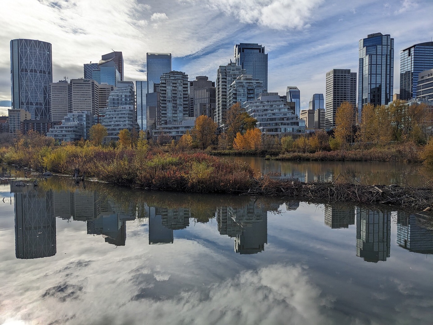
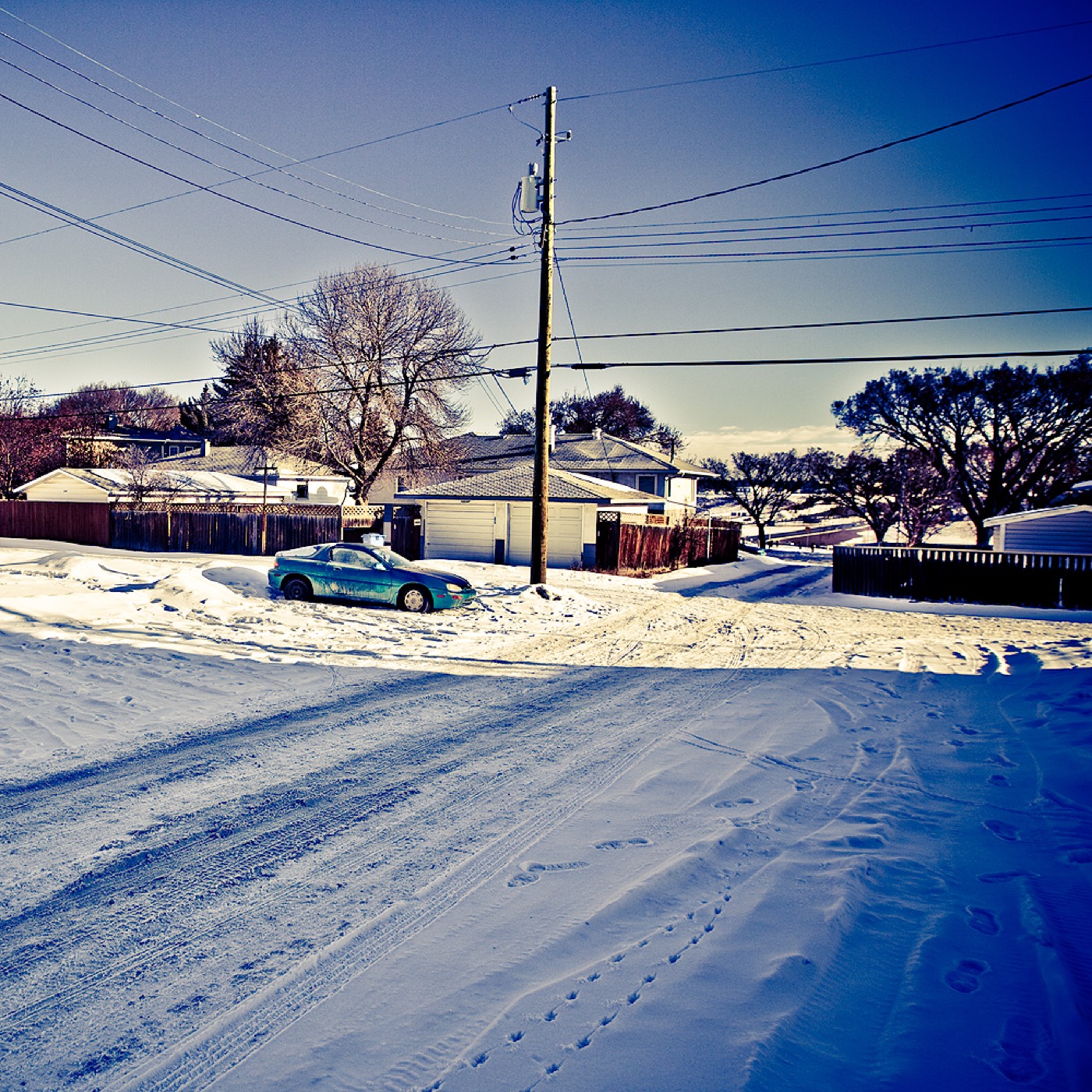
A community hall with its own fields, and civic parks a short drive out
The community's own open space is centred on the Monterey Park Community Association hall on Catalina Boulevard NE, with a gym, tennis courts and playing fields included in membership. Beyond that, Prairie Winds Park and the Genesis Centre grounds sit a short drive north, and Elliston Park — home of the Globalfest fireworks — is south of the community.




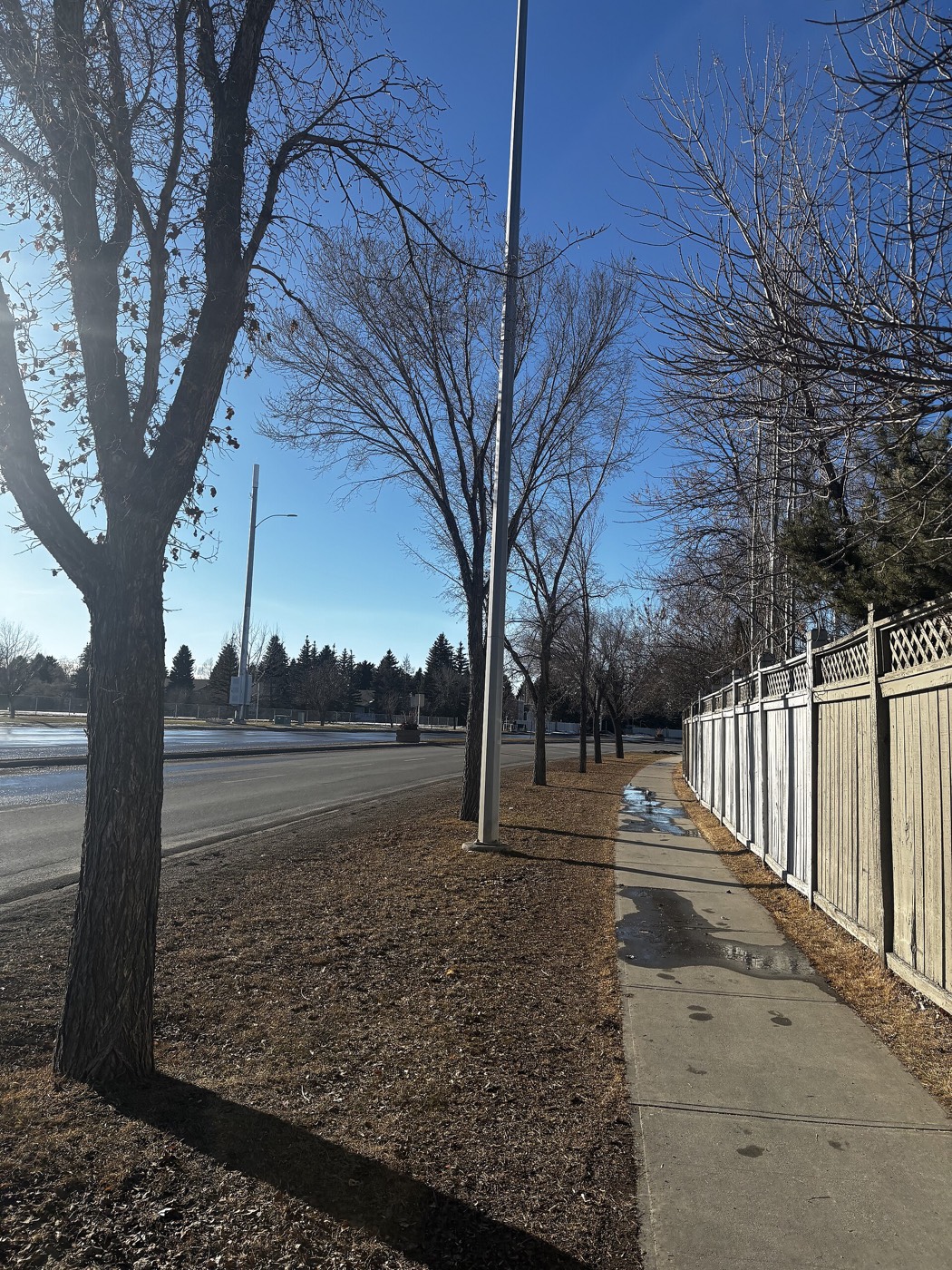
The resident's angle: the honest advantage here is Chestermere Lake, reached directly east on the community's own southern boundary, the Trans-Canada Highway — no other route needed. There is no river valley or provincial park at this edge of the city, so that lake run is the counterweight to the long drive west.
21 places, with real drive times
Road-adjusted distance and drive time from the centre of the community to each destination, nearest first. Filter by category.
Showing 1–12 of 21 places, nearest first.
Method: distances and drive times are estimated from the centre of the community to each destination using Calgary's road grid, and are rounded to honest ranges rather than presented as precise figures. Being immediately south of Coral Springs and close to the Whitehorn/Rundle corridor, Monterey Park's numbers skew closer to downtown and the CTrain than communities further north in the same quadrant, and further from the mountains than anywhere in the southwest.
Every gym within reach
The community's own hall covers a gym, tennis courts and fields, with the northeast's larger civic facilities a short drive away rather than a dense cluster of private clubs nearby. Confirm hours before you count on any of them.
- Genesis Centre is the quadrant's larger hub: gymnasiums, fitness centre, indoor courts and programming, north on 68 Street
- Max Bell Centre adds twin arenas twelve to seventeen minutes southwest along the rail corridor
- The community hall's own gym, tennis courts and fields are the closest, cheapest option
- Prairie Winds Park is the free option for fields and walking trails
| Facility | What it is | Drive |
|---|---|---|
| Village Square Leisure Centre open | Wave pool, arena, fitness space, gymnasium and a library branch under one roof. | 8–12 min |
| Genesis Centre open | The northeast's anchor recreation facility: gymnasiums, fitness centre, indoor courts and community programming. | 9–13 min |
| Max Bell Centre open | Twin arenas and community recreation space southwest along the rail corridor. | 12–17 min |
| Monterey Park Community Association open | Free option covered by the community's own membership: gym, tennis courts and sports fields at the hall on Catalina Boulevard NE. | 1–3 min |
| Prairie Winds Park open | Not a gym, but the free option: walking trails, playing fields, spray park and wading pool. | 9–14 min |
| Commercial gyms near Sunridge open | National chain clubs in the Sunridge and 36 Street retail cluster. Confirm current hours before you rely on them. | 9–13 min |
Confirm membership terms. The community association's own facilities are typically tied to a household membership rather than drop-in access — check current rates before you plan around them.
A public elementary inside the community, and confirmed designations beyond it
Monterey Park School serves the community for public elementary, K–6, with a fine-arts focus, and also draws from Skyview Ranch. Clarence Sansom School, just west in Pineridge, is the designated public junior high. Senior high and the Catholic-side designations for a specific address were not confirmed from public sources at the time of writing.
| School | Board | Note |
|---|---|---|
| Monterey Park School | Calgary Board of Education | Public elementary, K–6, fine-arts designated, inside the community; also serves Skyview Ranch. |
| Clarence Sansom School | Calgary Board of Education | Designated public junior high, just west in neighbouring Pineridge. |
| Bishop McNally High School | Calgary Catholic | Catholic senior high serving northeast Calgary broadly. |
| Senior high and Catholic elementary/junior high designations | Both boards | Could not be confirmed for a specific address from public sources at time of writing. Confirm the current designation with the board before you buy. |
| Calgary Catholic School District | Calgary Catholic | Alberta funds Catholic education the same way it funds public education, so there is no tuition for a resident student at either board. |
Alberta funds Catholic education the same way it funds public education, so there is no tuition for a resident student at either board. Confirm the current junior high, senior high and Catholic designations for a specific address with the board before you buy — northeast designations have been reviewed repeatedly as enrolment has shifted across the quadrant.
Month by month, what living here looks like
Not a highlights reel — the actual annual rhythm, including the dates residents have to remember.
- The Trans-Canada Highway boundary is a priority plow route, so access holds up even in a hard freeze
- Sitting at 1,075 m, the community catches the cold a little longer than the river valley communities
- Village Square's arena and pool carry the indoor season
- Chinooks reach the northeast late and weak compared with the west side of the city
- Skating and shinny at the community hall's outdoor rink when the freeze holds
- Family Day programming at the community association hall on Catalina Boulevard
- Coldest stretches usually break with a chinook by month end
- Indoor recreation at Genesis Centre and Village Square is at its busiest
- Melt and refreeze on side streets off the California-themed grid
- Spring break fills Genesis Centre and Village Square
- The Co-op parking lot on 68 Street clears of snowbanks first
- First bare pavement on the community's tennis courts
- Last hard frosts — most residents wait for the long weekend to plant
- Playing fields at the community hall reopen for the season
- Prairie Winds Park's fields dry out enough for community sport
- Longer evenings make the walk to the Co-op or the school pleasant again
- Community league and minor sport seasons start at the hall's fields
- Long evenings — sunset past 9pm by month end
- Tennis courts at the community hall book up on warm evenings
- Hail season begins — the northeast gets more than its share
- Peak daylight at the solstice — over 16 hours
- School year ends at Monterey Park School
- Thunderstorm season is fully under way
- Route 57 buses to Whitehorn Station run a fuller summer schedule
- Calgary Stampede — ten days, about 20 minutes southwest
- Chestermere Lake, east on the Trans-Canada, is the closer summer swim than the mountains
- Evening thunderstorms roll in from the west
- Hottest month, with little tree cover on the community's newer blocks
- Globalfest fireworks at Elliston Park, visible from parts of the community
- Chestermere at its warmest for a day trip
- Quietest weeks before school returns
- Co-op and Sunridge both run back-to-school promotions
- School year restarts at Monterey Park School and Clarence Sansom
- First frost typically arrives late in the month
- Sunridge Mall busiest with back-to-school traffic
- Prairie colour turns along the Stoney Trail corridor east of the community
- First snow is normal, and normally melts within a day or two
- Snow tires go on before the first real cold snap
- Chestermere quiets down for the season
- Shorter evenings noticeable by mid-month
- Dark by 5pm
- Indoor recreation season restarts at Genesis Centre and Village Square
- Holiday retail season begins at Sunridge and Marlborough
- Freeze sets in on Chestermere Lake east of the city
- Zoolights at the Calgary Zoo, a short drive southwest
- Holiday quiet across the community's tennis courts and fields
- Chestermere ice starts to hold
- Chinooks, when they come, arrive late and weak in the northeast
36 photographs of the community and its surroundings
All freely licensed and served from this app — nothing loads from a third party. Filter by category.






Showing 1–12 of 36 photographs.
Honesty note. This page uses only the general Calgary, seasonal, Alberta-wildlife and transit photography from the site's shared library — the Fish Creek and Midnapore-specific images used on the southeast pages are deliberately excluded, because this community is in the northeast and those are not its surroundings. Nothing here is presented as a photograph of Monterey Park itself.