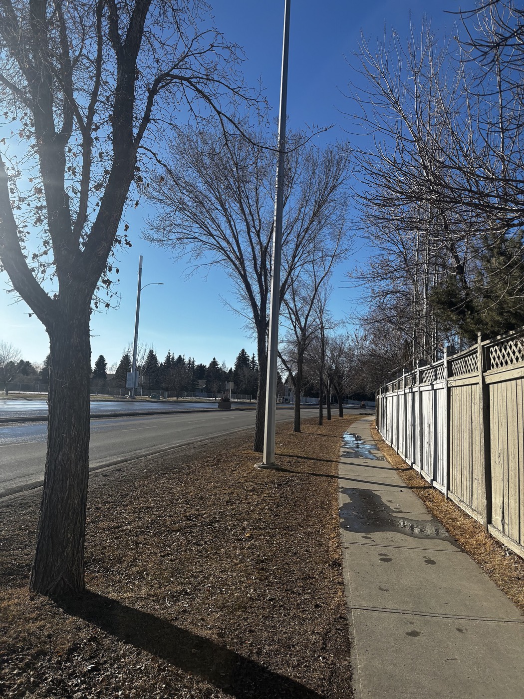
Live in Rutland Park
A 0.9 km² pocket on former Currie Barracks land where two in three households rent, and the community's own school building is currently leased to a private academy.
Rutland Park was established in 1952 on land annexed to Calgary in 1910 as Sarcee Park — the name it kept until the 1980s — on the same block bounded by Crowchild Trail, Glenmore Trail, 37 Street and Richmond Road that the Department of National Defence had leased for Currie Barracks: 0.9 km², 2,140 residents in 925 dwellings at the 2021 census, with 65% renting. It is one of the smallest communities on this site, wedged between Mount Royal University across Glenmore Trail and the Crowchild Trail interchange. Two in three households here rent rather than own, and the community's own school building currently sits leased to a private academy rather than teaching neighbourhood children. This is what living here is actually like.
A 0.9 km² pocket where two in three households rent
Bounded by Richmond Road and 33 Avenue SW to the north, Crowchild Trail to the east, Glenmore Trail to the south, and 37 Street W to the west. Ward 11.
Rutland Park was annexed to Calgary in 1910 as Sarcee Park and developed as a residential community from 1952 — 0.9 km², 2,140 residents in 925 dwellings at the 2021 census. It kept the Sarcee Park name until it was renamed Rutland Park in the 1980s.
The land underneath it. The community sits on the same block — Crowchild Trail, Glenmore Trail, 37 Street and Richmond Road — that the Department of National Defence leased for Currie Barracks starting in 1933. It is one of the smallest communities on this site, small enough to walk end to end in a few minutes.
The number that matters. 65% of households rent — the highest share of any community covered here, driven in large part by Mount Royal University sitting immediately across Glenmore Trail. Median household income was $80,000 in 2020, higher than either of its neighbours, which points to a rental market of working professionals and graduate students rather than a lower-income pocket.
The school that isn't running. Sir James Lougheed School, the community's own building, closed its All Boys program in June 2025. The building is now leased to a private post-secondary academy rather than reopened as a neighbourhood elementary — a decision that changes the school situation here more than anything else on this page.

- 65% rental means turnover is the norm, not the exception, on almost every street
- Sir James Lougheed School's building is leased to a private academy — confirm current elementary designation before you buy
- Under one square kilometre — inventory is thin and listings can be scarce for months
- Crowchild Trail and Glenmore Trail both carry heavy through-traffic on two of the four boundaries
- 1950s originals carry the era's full inspection list — furnace, poly-B, knob-and-tube wiring
How Rutland Park got here
- 1910The land is annexed to Calgary as Sarcee Park, named for the adjoining militia training camp.
- 1933The Canadian Army opens Currie Barracks on the surrounding block, leased from the Department of National Defence.
- 1952The land develops as a residential community, still known as Sarcee Park.
- 1980sThe community is renamed Rutland Park.
- 2021Federal census records 2,140 residents in 925 dwellings, with 65% renting.
- 2025Sir James Lougheed School's All Boys program closes, and the building is leased to a private post-secondary academy.



The community hall, and Mount Royal University next door
The Rutland Park Community Hall anchors the pocket — a free outdoor rink, a hockey rink and sports fields, open to anyone. Mount Royal University sits immediately south across Glenmore Trail, close enough that its recreation centre and library both function as extensions of what the small community itself cannot support.

The resident's angle: in a community this size, the hall is not an amenity among several — it is close to the only one inside the boundary, which makes its condition and hours worth checking before anything else.

12 places, with real drive times
Road-adjusted distance and drive time from the centre of the community to each destination, nearest first. Filter by category.
Showing 1–12 of 12 places, nearest first.
Method: distances and drive times are estimated from the centre of the community to each destination using Calgary's road grid, and are rounded to honest ranges rather than presented as precise figures. Crowchild Trail gives this community the shortest downtown run of the three covered on this site along Richmond Road.
Every gym within reach
There is no recreation centre inside Rutland Park's 0.9 km². What it has is a free community rink and a full public-membership facility immediately across its southern boundary.
- Triple gymnasium, pool and fitness centre, with public memberships available
- The community hall's rink and sports fields are free and open to anyone
- Westhills' commercial gyms are a short drive west on Sarcee Trail
- Westside Recreation Centre adds a full aquatic park further west on 69 Street
| Facility | What it is | Drive |
|---|---|---|
| Rutland Park Community Association Rink open | Free option: outdoor rink, hockey rink and sports fields, open to anyone. | 1–2 min |
| Mount Royal University Recreation open | Triple gymnasium, pool and fitness centre across Glenmore Trail, with public memberships. | 2–4 min |
| Westhills commercial gyms open | Cluster of commercial fitness chains around the Westhills and Signal Hill lots. | 4–7 min |
| Westside Recreation Centre open | Aquatic park, climbing wall, NHL-sized arena and fitness studios west on 69 Street. | 7–10 min |
The free option covers less ground here than elsewhere. With no park pathway network of its own, the community hall's rink and fields are genuinely most of what residents use without a car.
No operating public elementary inside the community right now
Sir James Lougheed School's building sits inside Rutland Park, but its elementary program closed in June 2025 and the building is now leased to a private academy. St. Andrew School in neighbouring Glamorgan is the confirmed Catholic-board option; Central Memorial is the confirmed senior high.
| School | Board | Note |
|---|---|---|
| St. Andrew School | Calgary Catholic School District | Catholic elementary in neighbouring Glamorgan; serves designated areas of Rutland Park. |
| Sir James Lougheed School | Calgary Board of Education | The community's own school building; its elementary program closed in June 2025 and the building is now leased to a private academy, not operating as a neighbourhood school. |
| Central Memorial High School | Calgary Board of Education | Confirmed senior high for the area. With Sir James Lougheed closed, confirm the current elementary and junior high designation for a specific address. |
Alberta funds Catholic education the same way it funds public education, so there is no tuition for a resident student at either board. Confirm the designation for a specific address with the Calgary Board of Education directly — the closure of Sir James Lougheed makes this one of the few communities on this site where the public elementary situation is genuinely in flux.
Month by month, what living here looks like
Not a highlights reel — the actual annual rhythm, including the dates residents have to remember.
- The community hall's free rink is the coldest booking of the year, and the busiest
- Crowchild Trail's northbound lane backs up hardest on the coldest mornings
- The empty Sir James Lougheed building sits dark on 36 Avenue through the deep freeze
- At 0.9 km², the whole community is a five-minute walk in any direction, snow or not
- A chinook off the escarpment can clear the Glenmore Trail on-ramps in an afternoon
- Mount Royal University's winter term keeps Glenmore Trail busy across the community's southern edge
- Rental listings begin appearing early for the university's fall turnover
- The old Currie Barracks grid still holds its snow longest on the shaded crescents
- Meltwater runs off the community hall's rink before the flood crew calls the season
- Cleats are the right footwear on the sloped walk down to Glenmore Trail
- Mount Royal University's reading week thins the traffic on the community's southern edge for a week
- The tight street grid drains slowly, and a few low corners hold puddles for days
- The community hall's sports fields reopen once the frost is out of the ground
- Last hard frosts pass on the community's older street trees
- Mount Royal University's spring convocation traffic spills across Glenmore Trail
- Garden centres at Westhills open for the season, a short drive west
- Rental turnover accelerates early as leases get confirmed for the fall term
- Long evenings make the walk across Glenmore Trail to campus a genuine option
- The community hall's outdoor programming restarts for spring
- Crowchild Trail's evening rush stretches later as the days lengthen
- School lets out and Mount Royal University's campus goes quiet between spring and fall terms
- The hall's sports fields see steady weeknight use once the evenings warm up
- Storm cells over the foothills are visible from the Crowchild Trail overpass
- Grey Eagle's outdoor patio season opens a short drive along Glenmore Trail
- Stampede traffic adds noticeable congestion to the Crowchild Trail interchange
- Hottest month, with the community's small footprint making every errand short
- Westhills' lots are busiest of the year over Stampede weekend
- The hall's sports fields book solid most weeknights
- Peak move month — with 65% of households renting, moving trucks are a constant sight on the crescents
- Mount Royal University's residence move-in adds weekend congestion to Glenmore Trail
- Quietest week of the year at the Westhills lots before the back-to-school rush
- The community hall's summer bookings wind down before fall registration opens
- Mount Royal University's fall term brings the year's heaviest traffic to the Glenmore Trail edge
- First frost typically arrives on the community's older lawns late in the month
- Crowchild Trail's morning backup returns with the school run from surrounding communities
- The community hall's fall programming opens and fills within days
- The hall's sports fields close for the season on the first hard frost
- Snow tires go on before the first real snowfall sticks to Crowchild Trail
- Mount Royal University's mid-term traffic settles into its steady autumn rhythm
- Peak colour runs through the mature trees planted when the community was still Sarcee Park
- The community hall floods its first ice of the season once the freeze holds
- Dark commutes home mean the Crowchild Trail interchange lights come on before five
- Rental listings for the university's winter-term arrivals start appearing
- The empty Sir James Lougheed building marks its first full winter under lease to the academy
- A chinook can clear Crowchild Trail's shoulders to bare pavement in an afternoon
- The community hall's rink is at its most used, with public skating most evenings
- Mount Royal University's campus empties out for the winter break, quieting Glenmore Trail with it
- Quiet, short days on a pocket small enough to walk end to end in minutes
36 photographs of the community and its surroundings
All freely licensed and served from this app — nothing loads from a third party. Filter by category.







Showing 1–12 of 36 photographs.
Honesty note. This page uses only the general Calgary, seasonal, Alberta-wildlife and day-trip photography from the site's shared library. Nothing here is presented as a photograph of Rutland Park itself.