Live in Southwood
A 1960 community built where the Corral Drive-in used to run, bracketed by two CTrain stations on the original South Line.
Southwood was established in 1960: 2.7 km², 6,095 residents in 2,535 dwellings at the 2021 census, with 44% rental. Southland and Anderson CTrain stations sit at its northern and southern edges, Macleod Trail and Southcentre Mall run along the east, and 14 Street SW forms the western boundary. The Corral Drive-in theatre once operated on the community's edge before Calgary Transit's Anderson garage replaced it, and the Southland Drive Bridge area still carries the local nickname S-Block. This is what living here is actually like.
A 1960 community bracketed by two CTrain stations
Bounded by 98 Avenue to the north, Macleod Trail to the east, Anderson Road to the south, and 14 Street SW to the west. Ward 11.
Southwood was established in 1960: 2.7 km², 6,095 residents in 2,535 dwellings at the 2021 census, with 44% rental. The community's edge once held the Corral Drive-in theatre, running through the 1970s before Calgary Transit's Anderson garage replaced it in 1981.
The two stations. Southland and Anderson CTrain stations sit at the community's northern and southern edges — Anderson was the original 1981 southern terminus of Calgary's first LRT line. The area around the Southland Drive Bridge still carries the local nickname S-Block.
The housing is mostly 1960s bungalow with a real rental third; 44% at the 2021 census is a meaningful share, and the schools reflect a mixed catchment — public, Catholic and a charter academy all draw from the same streets.
What it costs. Median household income was $80,000 in 2020, below the city's $98,000 but ahead of the more rental-heavy communities to the north on this same strip.

- 44% rental at the 2021 census — a meaningful share of the housing stock
- 1960s bungalows carry the era's full inspection list — check foundations and original wiring
- Two CTrain stations bracket the community, with the park-and-ride traffic that comes with both
- Southland Drive Bridge and the S-Block area have a rougher edge than the rest of the community
- Macleod Trail traffic past Southcentre Mall is a constant on the eastern boundary
How Southwood got here
- 1960Southwood is established.
- 1966Rockyview General Hospital opens nearby, on the Glenmore Reservoir's north shore.
- 1970sThe Corral Drive-in theatre operates on the community's edge through the decade.
- 1981Southland and Anderson CTrain stations open on Calgary's original South Line; the former Corral Drive-in site becomes Calgary Transit's Anderson garage.
- 2021Federal census records 6,095 residents in 2,535 dwellings, 44% rental.



A community park at the centre, a provincial park a short drive south
Southland Park, around the Southland Drive Bridge, is Southwood's own green space and the centre of the local S-Block area. Fish Creek Provincial Park, one of North America's largest urban parks, is a short drive south.



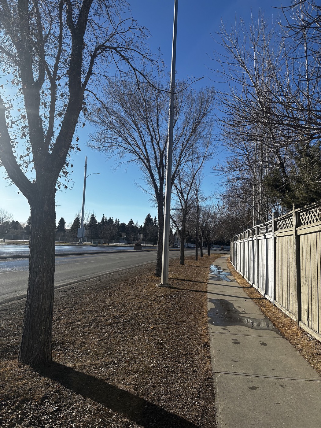
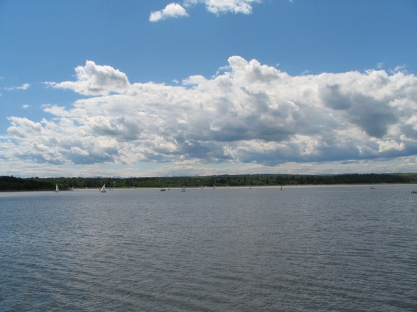
The resident's angle: Southland Park is small and well used; Fish Creek does the heavy lifting for anyone who wants real distance on a trail.
16 places, with real drive times
Road-adjusted distance and drive time from the centre of the community to each destination, nearest first. Filter by category.
Showing 1–12 of 16 places, nearest first.
Method: distances and drive times are estimated from the centre of the community to each destination using Calgary's road grid, and are rounded to honest ranges rather than presented as precise figures. Southcentre Mall and Fish Creek both sit within a ten-minute drive.
Every gym within reach
Southland Leisure Centre runs six to nine minutes west; the Trico Centre and Southcentre Mall's commercial clubs sit on the other side of Macleod Trail.
- Wave pool, water slides, two ice rinks and a fitness centre
- Trico Centre for Family Wellness is a comparable option near Southcentre Mall
- Southcentre Mall's own commercial gyms sit four to seven minutes east
- Fish Creek Provincial Park pathways are the free option, a short drive south
| Facility | What it is | Drive |
|---|---|---|
| Southland Leisure Centre open | Wave pool, water slides, two ice rinks and a fitness centre. | 6–9 min |
| Trico Centre for Family Wellness open | Community-run fitness centre and pool near Southcentre Mall. | 8–11 min |
| Southcentre Mall district clubs open | Commercial gyms around the mall. | 4–7 min |
| Fish Creek Provincial Park pathways open | Free option: the park's trail network a short drive south. | 7–10 min |
Fish Creek is the free option people actually use — the trailheads are close enough for a regular loop.
Public, Catholic and a charter academy on the same streets
Ethel M. Johnson Elementary and Harold Panabaker Junior High are the public schools inside the community, with St. Stephen Elementary & Junior High the Catholic option. Foundations for the Future Academy, a charter school, also draws students from Southwood's streets.
| School | Board | Note |
|---|---|---|
| Ethel M. Johnson Elementary | Calgary Board of Education | Public elementary inside the community. |
| Harold Panabaker Junior High | Calgary Board of Education | Public junior high inside the community, with French Immersion. |
| St. Stephen Elementary & Junior High | Calgary Catholic School District | Catholic elementary and junior high serving the community. |
Alberta funds Catholic education the same way it funds public education, so there is no tuition for a resident student at either board. Confirm the current designation for a specific address before you buy — charter school enrolment works differently from catchment designation.
Month by month, what living here looks like
Not a highlights reel — the actual annual rhythm, including the dates residents have to remember.
- The Anderson Station bus loop, once the Corral Drive-in's lot, is the coldest wait on this stretch of the line
- Southwood Skatepark sits buried under its winter snowbank on Sackville Drive
- The Southland Drive Bridge ices over on its shaded side, the one S-Block stretch that stays slick all winter
- Priority routes on Macleod Trail and Anderson Road get plowed before Southwood's own crescents
- A chinook can bare the Southland Drive Bridge deck in a single afternoon
- Ethel M. Johnson and Harold Panabaker both run indoor recess through the cold snaps
- The S-Block underpass near Southland Drive Bridge stays the last icy patch on the school walk
- Southland's indoor pool, just north of the community, runs at its busiest of the year
- Meltwater pools under the Southland Drive Bridge before the storm drains catch up
- Cleats are the right footwear on Southwood Skatepark's shaded ramps
- The Anderson Station bus loop floods with runoff on the warmest afternoons
- Haddon Road Park's grass reappears first, on its south-facing slope
- Southwood Skatepark reopens for the season once the last ice clears Sackville Drive
- Garden centres along Macleod Trail open for the season
- Last hard frosts pass and the community's 1960s bungalow gardens get their first digging
- Field sports restart on the Ethel M. Johnson and Harold Panabaker greens
- Southland Park fills with skaters and dog walkers on the first warm weekends
- Southwood's older elm-lined crescents are the last streets in the community to fully green up
- Southwood's community garden plots go in along the Community Hall grounds
- Lease turnover season starts building ahead of the July 1 rush
- School lets out at Ethel M. Johnson and Harold Panabaker within days of each other
- The longest day of the year keeps Southland Park's picnic tables full past nine at night
- Southwood Skatepark sees its heaviest traffic of the year through the long evenings
- Evening thunderstorms build over the foothills, visible west from Anderson Road
- Stampede traffic adds to the usual Macleod Trail queue past Southcentre Mall
- July 1 brings a real wave of lease turnover through Southwood's rental third
- The asphalt on the Anderson Station bus loop holds its heat well into the evening
- Fish Creek's trailheads, a short drive south, see the year's heaviest weekend traffic
- Southwood Skatepark's evening crowd peaks before the school-return rush
- Back-to-school traffic builds around Southcentre Mall before the long weekend
- Southcentre Mall's lot empties out in the last quiet week before the school year returns
- Wildfire smoke from the west can settle over Anderson Road on windless days
- School restarts and the Southland and Anderson platforms crowd with students again
- The first frost of the season usually shows on Southwood Skatepark's ramps before anywhere else
- Southland Park's cottonwoods begin turning first, ahead of the rest of the community
- The school-run queue past Ethel M. Johnson stretches back toward Anderson Road
- Peak colour runs through Southland Park and along the older crescents
- A dusting of early snow on the Southland Drive Bridge deck typically melts by afternoon
- Southwood's older driveways get their first coat of winter sand before the real cold arrives
- Southwood Skatepark closes out its season on the first hard frost
- Dark by 5pm on the Anderson Station bus loop
- Freeze sets in on the Southland Drive Bridge deck first
- Ski season opens west, reachable via Anderson Road and Stoney Trail
- Holiday retail traffic builds around Southcentre Mall through the month
- A chinook arch over Anderson Road can turn a −20 morning into a +5 afternoon
- Outdoor rinks open in Southwood's own parks once the freeze holds
- Southland and Anderson platforms are at their coldest and darkest for the evening commute home
- Quiet, short days along the community's crescents between the holidays
36 photographs of the community and its surroundings
All freely licensed and served from this app — nothing loads from a third party. Filter by category.






Showing 1–12 of 36 photographs.
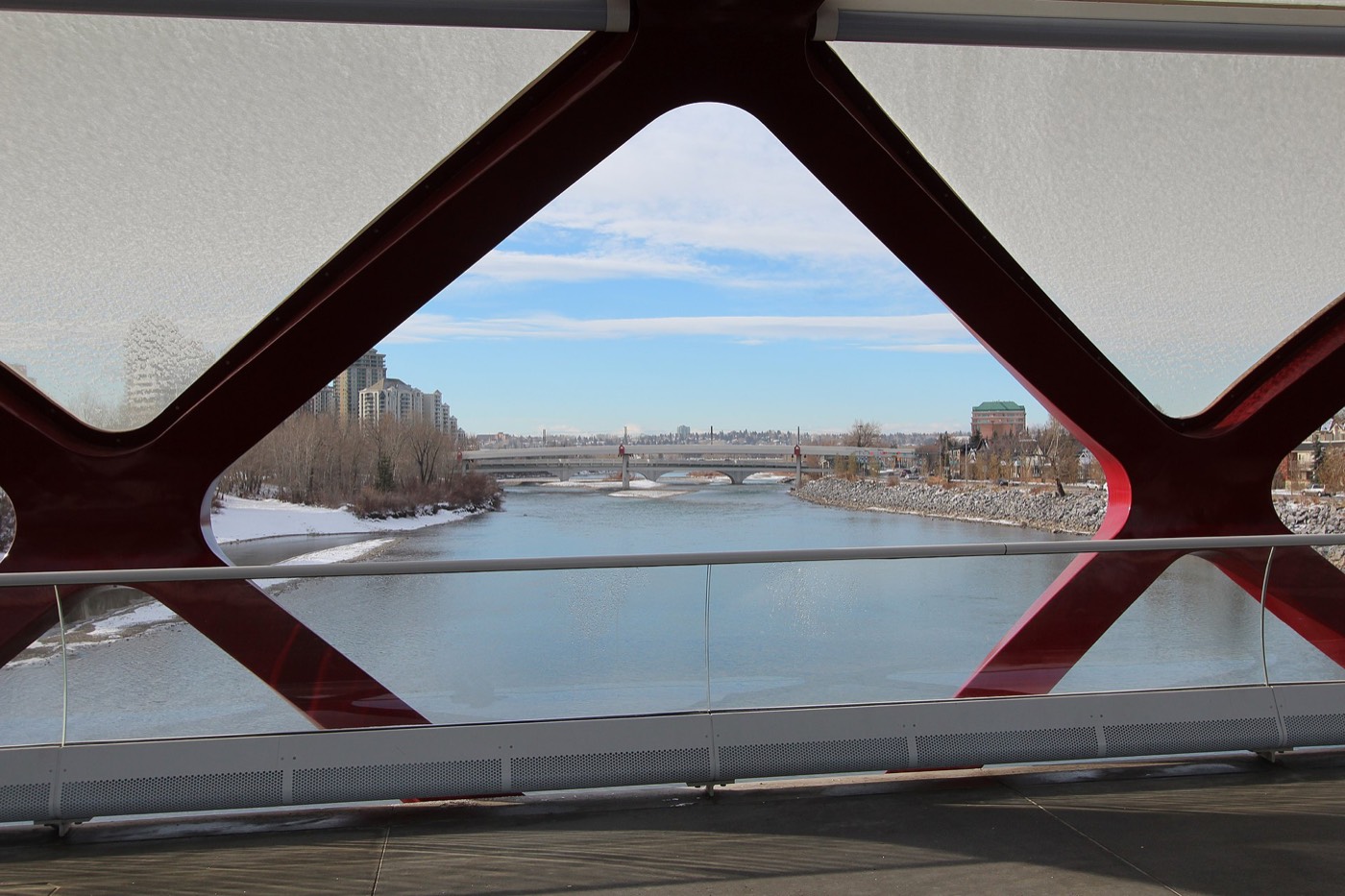
Honesty note. This page uses only the general Calgary, seasonal, Alberta-wildlife and day-trip photography from the site's shared library. Nothing here is presented as a photograph of Southwood itself.