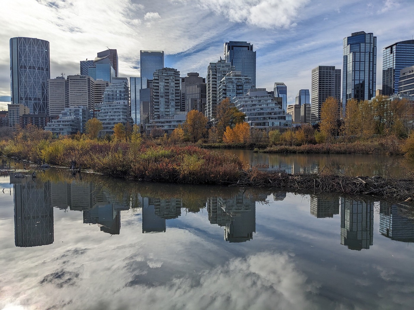
Live in Sunalta
A 1910 CPR grid of 25-foot lots that became the West LRT's first stop out of downtown, now Calgary's most rented inner-city address.
Sunalta was established in 1910 on land the Canadian Pacific Railway had annexed to the city three years earlier, laid out as a grid of 25-foot lots sold to carpenters, labourers and rail workers. At the 2021 census: 3,090 residents in 1,900 dwellings on 0.9 km², a density that makes it one of the most compact communities in the inner city — 76% of housing is rental. The Bow River forms the northern edge, Shaganappi Point's golf course sits just west, and downtown is a five-minute drive or one stop on the train. This is what living here is actually like.
The CPR grid the train runs through
Bounded by the Bow River to the north, 14 Street SW to the east, 17 Avenue SW, Crowchild Trail and Bow Trail to the south, and the eastern edge of Shaganappi Point Golf Course and 24A Street SW to the west. Ward 8.
Sunalta was established in 1910 on Canadian Pacific Railway land the city had annexed three years earlier — a grid of 25-foot lots sold for $250 apiece to carpenters, labourers and rail workers. At the 2021 census: 3,090 residents in 1,900 dwellings on just 0.9 km², with 76% of housing rental, among the highest shares of any community on this site.
The two edges. The Bow River forms the northern boundary, and Sunalta Station — the first stop on the West LRT, opened in 2012 — sits on the community's own street at 10 Avenue SW and Bow Trail. Downtown is a five-minute drive or one stop on the train.
The trade is density and turnover: 76% rental means a resident base that changes constantly, and the original 1909–11 CPR cottages sit beside infill and low-rise apartments on the same narrow lots.
Shaganappi Point's golf course runs along the community's western edge, and 17 Avenue's restaurant strip is a short walk south, shared with neighbouring Bankview.
- 76% rental means constant turnover — condo boards and document review matter here
- 25-foot CPR lots keep parking and setbacks tight across the grid
- 17 Avenue's evenings get loud within a block or two of the strip
- Bow Trail and Crowchild carry real traffic noise along the southern edge
How Sunalta got here
- 1907The Canadian Pacific Railway's land is annexed to the City of Calgary.
- 1909The CPR subdivides the land into 25-foot lots and begins selling them for $250 each.
- 1910Sunalta is formally established as a residential community.
- 1911A second phase of CPR lot sales completes the grid, this time with larger two-storey homes.
- 2012Sunalta Station opens as the first stop on the new West LRT line.
- 2021Federal census records 3,090 residents in 1,900 dwellings, 76% of it rental.



The river as the north edge, not a backyard
The Bow River pathway runs along Sunalta's northern boundary, connecting into the regional network; Shaganappi Point Golf Course covers the community's western edge with 36 holes over two courses.



The resident's angle: the river is a pathway connection, not a waterfront — Bow Trail and the rail corridor sit between most of the grid and the water itself.
16 places, with real drive times
Road-adjusted distance and drive time from the centre of the community to each destination, nearest first. Filter by category.
Showing 1–12 of 16 places, nearest first.
Method: distances and drive times are estimated from the centre of the community to each destination using Calgary's road grid, and are rounded to honest ranges rather than presented as precise figures. Density and the LRT stop compress most of this list into a short walk rather than a drive.
Every gym within reach
Killarney anchors the west side, Shaganappi Point and the strip cover the rest. Confirm hours before you count on anything.
- Shaganappi Point Golf Course is a two-minute drive west
- 17 Avenue's studios are inside walking distance
- The Bow River pathway is the free option
- Sunalta Station makes downtown gyms practical too
| Facility | What it is | Drive |
|---|---|---|
| Killarney Aquatic & Recreation Centre open | City pool, gymnasium and fitness centre — the largest facility within easy reach. | 4–6 min |
| Shaganappi Point Golf Course open | 36 holes over two courses, immediately west of the community. | 2–3 min |
| 17 Avenue SW studios open | Independent yoga, pilates and training studios along the strip. | 2–3 min |
| Bow River pathway open | Free option: the river pathway along the community's northern edge. | 2–4 min |
| Repsol Sport Centre open | Fifty-metre pool, diving towers and a large fitness floor at Lindsay Park. | 9–13 min |
Walking distance does real work here — the golf course, the strip and the river pathway cover most of what a car would otherwise be for.
Two schools inside the community
Sunalta School carries the public elementary years and Sacred Heart the Catholic ones, both inside the community; junior and senior high designate out to Mount Royal and Western Canada.
| School | Board | Note |
|---|---|---|
| Sunalta School | Calgary Board of Education | Public elementary, kindergarten to grade 6, inside the community. |
| Sacred Heart School | Calgary Catholic School District | Catholic elementary, kindergarten to grade 6, inside the community. |
| Mount Royal Junior High School | Calgary Board of Education | Designated public junior high, grades 7–9, south of the community. |
| Western Canada High School | Calgary Board of Education | Designated public senior high, grades 10–12, east in the Beltline. |
Alberta funds Catholic education the same way it funds public education, so there is no tuition for a resident student at either board. Confirm the designation for a specific address — inner-city catchments shift with enrolment.
Month by month, what living here looks like
Not a highlights reel — the actual annual rhythm, including the dates residents have to remember.
- The open-air platform at Sunalta Station is an exposed wait when the wind funnels down Bow Trail
- Shaganappi Point's fairways sit under snow, silent until the first chinook
- CPR-era cottages along the grid show their age in the January heating bill
- 17 Avenue's restaurant strip keeps a dinner crowd despite the cold, just with fewer patio seats
- A chinook can strip the golf course's snowpack to bare fairway overnight
- The Bow River pathway along the north edge stays icy in the shaded stretches
- West LRT platform waits shorten as the days lengthen toward month's end
- The coldest week of the year often lands here rather than in January
- Meltwater off the escarpment runs toward the Bow and refreezes into black ice by evening
- Greenskeepers walk Shaganappi Point assessing winterkill ahead of the reopening
- Sunalta Station's platform sheds its ice cover in fits and starts
- Infill crews restart work on the grid's narrow 25-foot lots
- Shaganappi Point reopens for the season, and the fairways fill on the first mild weekend
- The Bow River pathway reopens properly once the snow clears the shaded stretches
- Rental listings start appearing ahead of the September turnover, even this early
- 17 Avenue's sidewalk patios expand block by block as the weather turns
- Tee times at Shaganappi Point book out days ahead on the first warm weekends
- The West LRT's evening ridership climbs with the longer light
- Sunalta's CPR-grid streets fill in under the mature elm canopy overhead
- Downtown's lit towers stay visible from the community's east edge well past 9pm
- School lets out and Shaganappi Point's tee sheet runs solid from dawn to dusk
- The Bow River pathway sees its heaviest cyclist traffic of the year
- 17 Avenue's patios run at full capacity most evenings
- Thunderstorms building over the foothills are visible from the open platform at Sunalta Station
- Stampede turns 17 Avenue's strip into one of the loudest in the inner city
- The golf course fairways west of the community stay lit until nine o'clock in high summer
- The CPR-era cottage stock without air conditioning gets genuinely uncomfortable on the hottest days
- Sunalta Station sees a steady Stampede-week crowd riding the West LRT downtown
- The golf course next door sees its peak play before the school-return rush
- The Bow River pathway's cottonwoods start dropping seed fluff along the escarpment
- Renters start touring in earnest for September leases across the grid
- 17 Avenue's patio crowd lingers late while the heat holds through the grid
- September's lease turnover is the grid's real moving season, trucks double-parked on the 25-foot lots
- Shaganappi Point's late-season rates start once the school run returns
- Sunalta Station's morning platform crowds thicken again after summer's lull
- 17 Avenue's dinner reservations pick back up as the patio crowd thins
- Peak colour runs along the Bow River pathway below the escarpment
- The golf course next door shuts down for the year on the first hard frost
- Waiting for the West LRT gets its first genuinely cold mornings
- CPR-era cottages along the grid start showing frost each morning before the furnace catches up
- The golf course past the community's western edge sits closed and quiet under the season's first real snow
- The exposed platform at Sunalta Station gets its first hard cold snap
- 17 Avenue's restaurant tables move indoors as the season turns
- Rental turnover slows once the September leases have settled in
- A chinook arch over the golf course can turn a −20 morning into a +5 afternoon
- Holiday lights along 17 Avenue's strip are visible from the grid's southern blocks
- The Bow River pathway goes quiet once the cold really sets in
- West LRT ridership drops through the holiday break as downtown empties out
36 photographs of the community and its surroundings
All freely licensed and served from this app — nothing loads from a third party. Filter by category.







Showing 1–12 of 36 photographs.
Honesty note. This page uses only the general Calgary, seasonal, Alberta-wildlife and day-trip photography from the site's shared library. Nothing here is presented as a photograph of Sunalta itself.