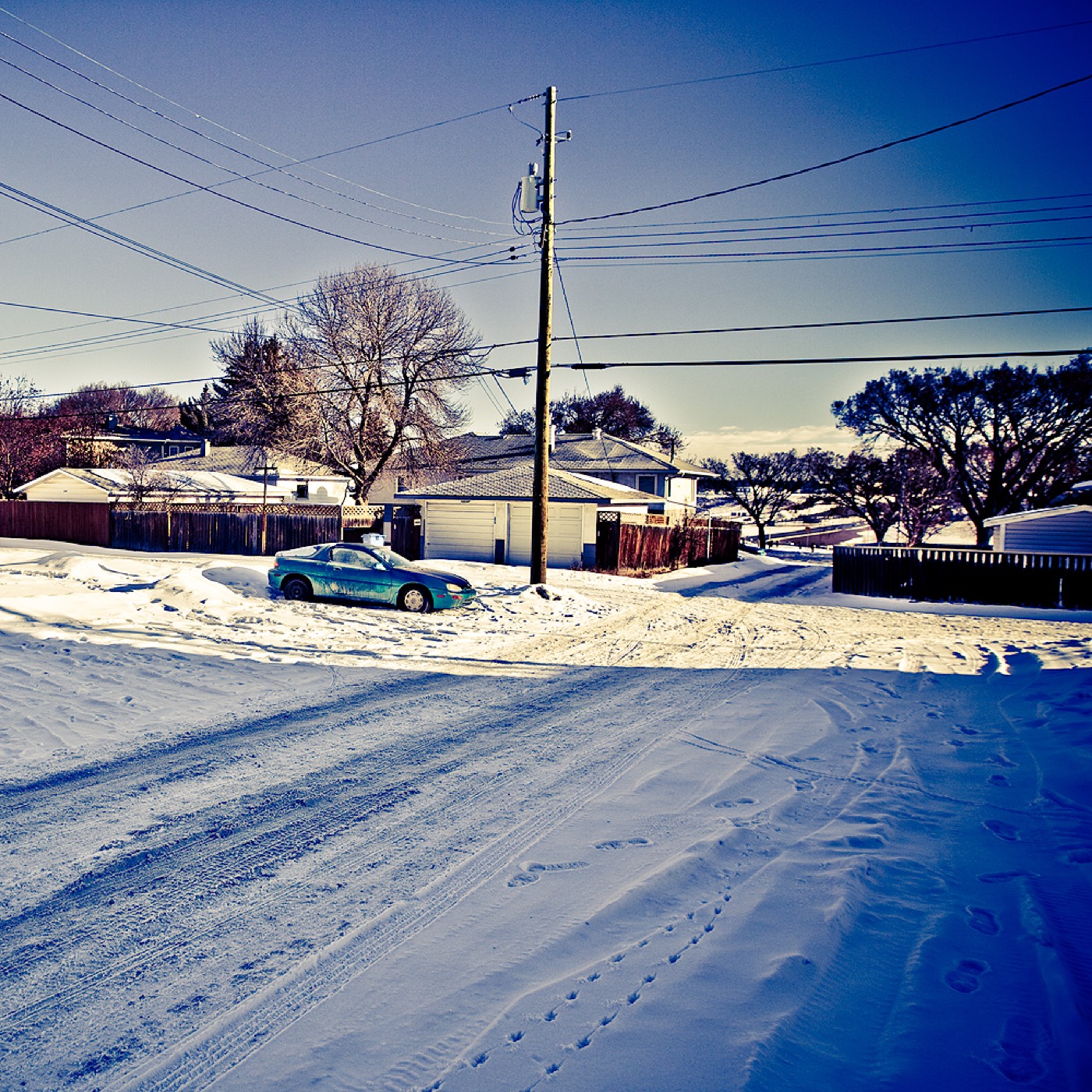
Live in Westgate
A 1957 bungalow community pinned between Edworthy Park's ravine and Sarcee Trail, where 58% of the housing predates 1961 and almost nobody rents.
Westgate was annexed to the city in 1956 and established the following year: 1.2 km², 3,225 residents in 1,370 dwellings at the 2021 census, with 28% of that housing rental. Edworthy Park's ravine and the Douglas Fir Trail form the entire northern edge across Bow Trail, and Sarcee Trail — the community's western boundary — runs straight up to the Trans-Canada Highway interchange. Fifty-eight per cent of the housing stock predates 1961, and with 72% of households owning rather than renting, turnover here is slow and the inventory is thin. This is what living here is actually like.
A 1957 bungalow community that has barely turned over since
Bounded by Bow Trail to the north, 45 Street SW to the east, 17 Avenue SW to the south, and Sarcee Trail to the west. Ward 6.
Westgate was annexed to the city in 1956 and established the following year: 1.2 km², 3,225 residents in 1,370 dwellings at the 2021 census. Only 28% of that housing is rental — most of the community is owner-occupied, and it shows in how little the streets have changed.
The two edges. Edworthy Park's ravine and the Douglas Fir Trail form the entire northern boundary across Bow Trail — old-growth Douglas firs, deer and coyotes a few minutes' walk from the community. Sarcee Trail, the western boundary, runs straight up to the Trans-Canada Highway interchange, which makes the mountains genuinely close but also puts a busy arterial along one whole side of the community.
What that ownership rate buys. Fifty-eight per cent of the housing stock was built in 1960 or earlier — the original 1950s bungalow, largely intact rather than redeveloped. Median household income reached $90,000 in 2020. The tradeoff is turnover: with 72% of households owning, a specific street can go years without a listing.
Vincent Massey Junior High and Westgate School, an Early French Immersion elementary, both sit inside the community. 45 Street Station, on the West LRT, sits on the southern boundary shared with Glendale.
- 58% of homes were built in 1960 or earlier — budget for original wiring, plumbing and roofs
- Only 28% rental, and thin turnover means a long wait for a specific street
- Bow Trail and Sarcee Trail both carry real arterial traffic along two of the four boundaries
- No Catholic school inside the community; the nearest, St. Gregory, is in neighbouring Glendale
How Westgate got here
- 1956The land is annexed to the City of Calgary.
- 1957Westgate is established.
- 1958Vincent Massey Junior High opens, with additions following in 1965 and 1971.
- 201245 Street Station opens on the West LRT, on the community's southern boundary.
- 2021Federal census records 3,225 residents in 1,370 dwellings, 28% of it rental.



Old-growth forest and a ravine on the doorstep
Edworthy Park sits in the Bow River valley immediately north of Westgate, across Bow Trail — over 5 km of trail including the 2.5 km Douglas Fir Trail, which passes through a stand of Douglas firs over four hundred years old. Deer, coyotes and porcupines are regular sightings.

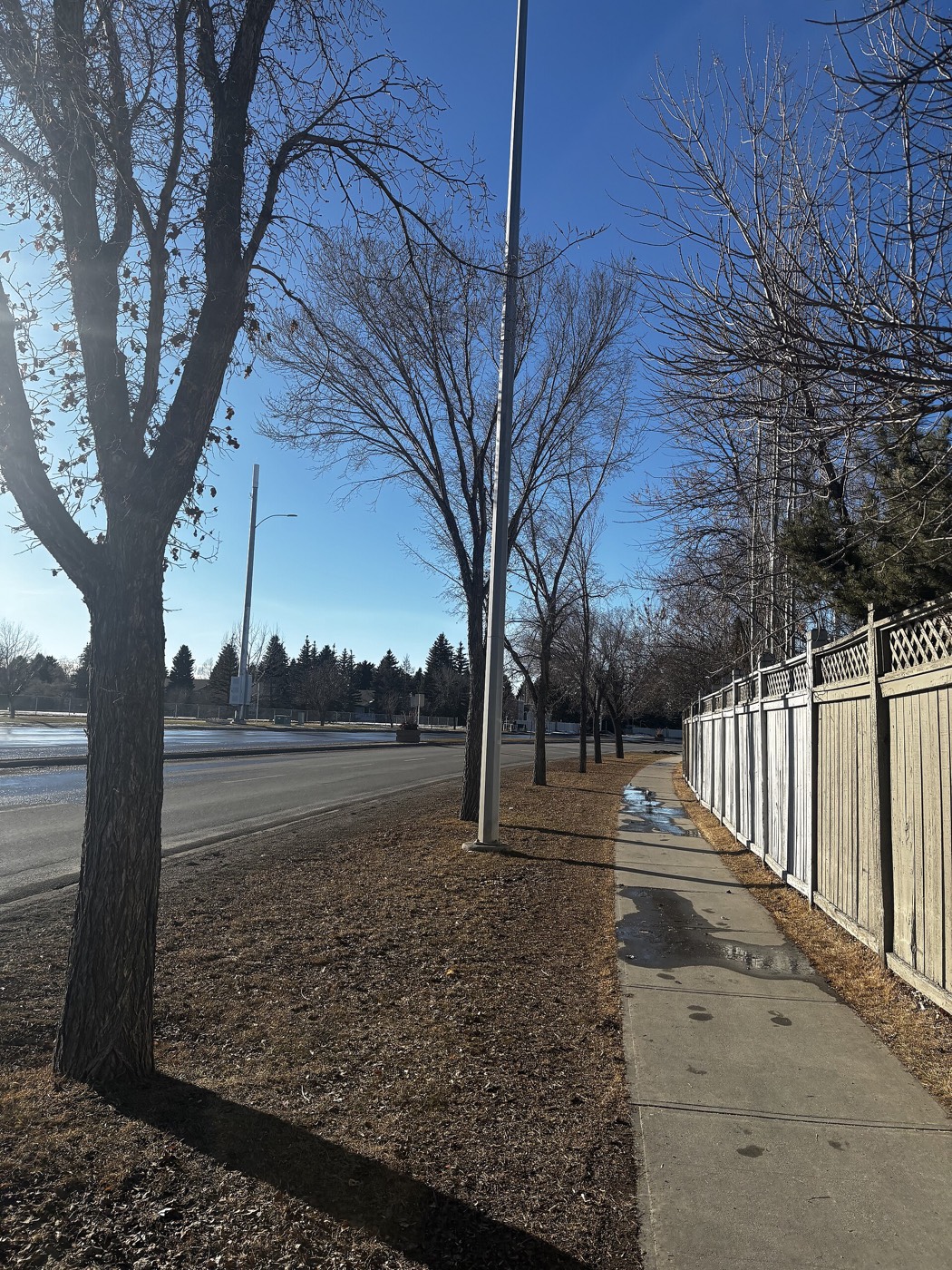
The resident's angle: the park is a five-to-ten-minute walk from most of the community rather than a shared backyard, and Bow Trail — a real arterial — sits between the two.
14 places, with real drive times
Road-adjusted distance and drive time from the centre of the community to each destination, nearest first. Filter by category.
Showing 1–12 of 14 places, nearest first.
Method: distances and drive times are estimated from the centre of the community to each destination using Calgary's road grid, and are rounded to honest ranges rather than presented as precise figures. Sarcee Trail's link to the Trans-Canada Highway makes the day trips genuinely shorter from here than from communities further east.
Every gym within reach
No large recreation centre sits inside Westgate. Edworthy Park's trail network is the free option, with Killarney Aquatic & Recreation Centre and the Signal Hill Centre clubs the closest paid facilities.
- City pool, gymnasium and fitness centre
- Edworthy Park's Douglas Fir Trail is the free option, immediately north across Bow Trail
- Signal Hill Centre's commercial clubs sit south via Sarcee Trail
- Optimist Arena, just south in Glendale, adds public skating
| Facility | What it is | Drive |
|---|---|---|
| Edworthy Park & Douglas Fir Trail open | Free option: the Bow River valley trail network immediately north. | 1–3 min |
| Killarney Aquatic & Recreation Centre open | City pool, gymnasium and fitness centre, east in Killarney. | 6–9 min |
| Signal Hill Centre district clubs open | Commercial gyms around the Signal Hill Centre plaza. | 4–6 min |
| Optimist Arena open | Public ice rink and skating just south in Glendale. | 3–5 min |
The ravine is the daily default — the paid options are mainly for pools and weights.
A bilingual elementary and a junior high, both inside
Westgate School runs Early French Immersion from kindergarten to grade 6, and Vincent Massey School, open since 1958, carries junior high. Both sit inside the community; no Catholic school does.
| School | Board | Note |
|---|---|---|
| Westgate School | Calgary Board of Education | Early French Immersion, kindergarten to grade 6, inside the community. |
| Vincent Massey School | Calgary Board of Education | Public junior high, grades 7–9, built in 1958, inside the community. |
| Central Memorial High School | Calgary Board of Education | Designated senior high; confirm for a specific address. |
| Catholic designation | Calgary Catholic School District | No Catholic school sits inside Westgate; St. Gregory, just south in Glendale, is the nearest — confirm the designation for a specific address. |
Alberta funds Catholic education the same way it funds public education, so there is no tuition for a resident student at either board. Confirm the designation for a specific address — the nearest Catholic school, St. Gregory, sits just south in Glendale rather than inside Westgate.
Month by month, what living here looks like
Not a highlights reel — the actual annual rhythm, including the dates residents have to remember.
- Edworthy Park's Douglas Fir Trail holds snow in its shaded switchbacks long after the streets are bare
- 45 Street Station's trench platform catches the cold funnelling off Sarcee Trail
- Original 1950s furnaces get their hardest test of the year in the coldest snaps
- Vincent Massey's hallways stay busy at lunch since the walk outside is short but bitter
- A chinook can strip Edworthy Park's ravine slopes back to bare ground in an afternoon
- The coldest week of winter more often lands in February than January along this ridge
- Sarcee Trail's northbound ramp toward the Trans-Canada carries the week's ski traffic
- Westgate School's French Immersion cohort pushes through midwinter assessments
- Meltwater off the Douglas Fir Trail runs down toward the Bow River by mid-month
- Driveways on the community's oldest crescents heave with the freeze-thaw cycle
- Cleats are the right footwear on Edworthy Park's icy switchbacks
- Sarcee Trail's shoulder snowbanks are the last to clear each spring
- Edworthy Park's trail network reopens properly once the ice clears
- Garden centres along Sarcee Trail open for the season
- Vincent Massey's field sports move outdoors for the term
- Deer move down off the ravine into the community's mature yards
- The 1950s spruce canopy along Westgate's original crescents fills back in
- Sunset holds past 9pm over Edworthy Park's ravine by month's end
- Signal Hill Centre's parking lot fills for the spring shopping reset
- Westgate School's playground stays busy into the long evenings
- School lets out and Edworthy Park's trailheads see the year's first real crowds
- Thunderstorms building over the foothills are visible from the ravine's edge
- Vincent Massey's year wraps with the neighbourhood's usual quiet turnover around it
- 45 Street Station's platform trades ice for shade as riders wait
- Stampede traffic backs up on Sarcee Trail's Bow Trail interchange
- Edworthy Park's valley floor runs several degrees cooler than the streets above it
- Hottest month, with the original bungalows' small windows keeping interiors dim and cool
- Signal Hill Centre's lot is at its fullest of the year
- Edworthy Park's cottonwoods start shedding seed fluff along the Douglas Fir Trail
- Wildfire haze from the west can settle low in the ravine on windless days
- Signal Hill Centre's back-to-school traffic spills onto Sarcee Trail
- Quietest weeks in the community before the school routine returns
- Vincent Massey and Westgate School's morning drop-off traffic returns to the crescents
- Edworthy Park's aspens turn first, visible from the ravine's rim
- Morning riders return to the 45 Street Station platform once summer's lull ends
- The ravine typically holds off its first frost until late in the month
- Peak colour runs through Edworthy Park down to the Bow River valley floor
- Original walks and driveways along the oldest crescents get their fall check before freeze-up
- Snow tires go on before Sarcee Trail's first icy commute
- Signal Hill Centre's holiday displays go up over the parking court
- Edworthy Park's trail gets its first ice on the shaded switchbacks
- Dark commutes home mean Sarcee Trail's headlights are the main light source by five
- 45 Street Station's platform lighting comes on well before the evening commute
- Vincent Massey's holiday concert fills the gym for one of the year's few crowded nights
- A chinook arch over Edworthy Park's ravine can turn a −20 morning into a +5 afternoon
- Outdoor rinks in Westgate's own parks open once the freeze holds
- Sarcee Trail stays quiet over the holiday break compared to its usual commuter traffic
- Edworthy Park stays open for walkers who bundle up through the season
36 photographs of the community and its surroundings
All freely licensed and served from this app — nothing loads from a third party. Filter by category.








Showing 1–12 of 36 photographs.
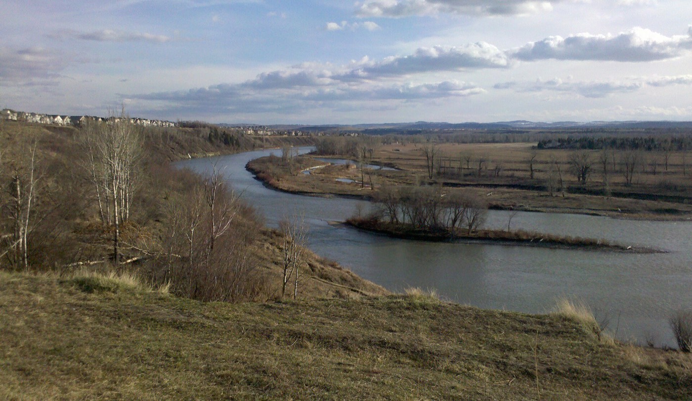
Honesty note. This page uses only the general Calgary, seasonal, Alberta-wildlife and day-trip photography from the site's shared library. Nothing here is presented as a photograph of Westgate itself.