
Live in Lake Nona
Seventeen square miles of master plan around Medical City, and the first place on this site where a community development district stops being a caveat and becomes a number.
Lake Nona is the largest master-planned development in the City of Orlando: roughly seventeen square miles south-east of downtown, built out from the 2000s around Medical City (a medical school, a research institute, a veterans' hospital and university campuses) with housing, a town centre and a purpose-built path network beside them. It is the newest thing in this city by a long way and the most deliberately designed. It is also the reason this guide exists. Across the Florida half of this site there is a standing caveat: much of the newer housing in these metros carries a community development district assessment of $1,200 to $3,000 a year that appears on no millage table and in no tax rate. Lake Nona is where that caveat can be made concrete, because districts created under Chapter 190 of the Florida Statutes are units of local government, they issue bonds, they levy assessments to repay them, and they publish. If you are buying here, the district's assessment schedule and remaining bond term will tell you more about the real cost of the house than the listing will. At a USGS-measured 89.9 feet, flood is a lake-and-drainage question rather than a coastal one.
The site's largest disclosed blind spot, made concrete
South-east of the airport in the far south of the City of Orlando, running from about the 528 south toward Osceola County, around Lake Nona and Medical City.
Lake Nona is the largest master-planned development in the City of Orlando, roughly seventeen square miles south-east of downtown, built out from the 2000s around Medical City: a medical school, a research institute, a veterans' hospital and university campuses, with housing, a town centre and a purpose-built path network beside them. It is the newest thing in this city by a long way and the most deliberately designed.
It is also the reason this guide exists. Across the Florida half of this site there has been a standing caveat: much of the newer housing in these metros carries a community development district assessment of $1,200 to $3,000 a year that appears on no millage table and in no tax rate. It has been a disclosure rather than a number, on the Orlando metro pages and on the Tampa ones.
Here it can be made concrete. A district created under Chapter 190 of the Florida Statutes is a unit of local special-purpose government. It issues bonds to finance the roads, drainage, water and parks; it levies assessments on the land inside it to repay them; those assessments are collected on the property tax bill and are entirely separate from ad valorem millage; and because it is a government, it publishes. If you are buying here, the district's assessment schedule and remaining bond term will tell you more about the real cost of the house than the listing will, and the assessment is usually on top of a homeowners association fee rather than instead of one.
The rest of the picture is the inland one. At a USGS-measured 89.9 feet, storm surge is not a factor and the insurance saving against coastal Florida is real: see the rent-versus-buy page for what that gap is worth. Flooding here is a question about engineered drainage rather than the ocean, and the stock is new enough to be built to current wind code.

- Ask for the community development district's assessment schedule and the remaining bond term before you offer
- A CDD assessment is on the tax bill but not in the tax rate, and is usually on top of an association fee rather than instead of one
- Districts are created under Ch. 190, Fla. Stat. as units of local government. They publish, so the information exists
- Bonds typically run twenty to thirty years; a district ten years into its term is a different proposition from one two years in
- School catchments in south Orlando have been redrawn repeatedly as the area builds; a catchment that holds today is not a guarantee
- Airport noise is a real consideration on the northern edge. Check the specific address against the flight paths
How Lake Nona got here
- 1990sThe land south-east of the airport is assembled and planned, having been largely agricultural.
- 2006Medical City is announced. A medical school, research institute and hospital cluster intended to anchor the development.
- 2010sMedical City opens in stages, and residential build-out accelerates around it.
- 2010sThe town centre, the path network and the neighbourhood schools are built as part of the master plan rather than added later.
- 2020sBuild-out continues south toward the county line, with the districts' bonds still being repaid by the households inside them.

The path network, Moss Park and Split Oak
Lake Nona was built with its own path network, which is unusual in Florida and is one of the things the assessment pays for. Beyond the development, Split Oak Forest Wildlife and Environmental Area to the south-east and Moss Park on the lakes east of it are the nearest walking that is not a built path: protected land rather than landscaping.


The resident's angle: the paths are genuinely good and genuinely unusual for this state, and they are also a line in a budget. That is the honest shape of a master-planned neighbourhood: the amenity is real, and so is the mechanism paying for it.
16 places, with real drive times
Road-adjusted distance and drive time from the centre of the community to each destination, nearest first. Filter by category.
Showing 1–12 of 16 places, nearest first.
Method: distances and drive times are computed from a representative point in the development, using straight-line distance multiplied by a road factor and a tiered speed model: honest ranges, not routed times. Lake Nona covers roughly seventeen square miles, so a single point describes it less well than it describes the smaller guides on this site; treat these as indicative.
Every gym within reach
The development's town centre carries the commercial fitness provision, built as part of the plan, and the path network is the free alternative. Split Oak Forest to the south-east is the nearest trail walking.
- Establish whether amenity access is included in the association fee, the district assessment, or charged separately
- The path network is extensive and free at the point of use, and paid for by assessment
- Split Oak Forest and Moss Park are public land and cost nothing
- Provision varies between the sub-neighbourhoods; confirm what applies to the specific address
| Facility | What it is | Drive |
|---|---|---|
| Split Oak Forest Wildlife and Environmental Area open | Protected forest and trails south-east: the nearest real walking that is not a built path. | 12–18 min |
The free option is the path network and, beyond it, Split Oak Forest: the second of which is a state and county holding rather than something the neighbourhood pays for.
New schools, and moving boundaries
Laureate Park Elementary, Lake Nona Middle and Lake Nona High were built as part of the development and are inside it. That is a genuine advantage. The caveat is growth: south Orlando is building faster than almost anywhere in the state, and Orange County has redrawn capacity and attendance boundaries here repeatedly.
| School | Board | Note |
|---|---|---|
| Laureate Park Elementary School | Orange County Public Schools | Built as part of the master plan. Orange County assigns by address, and in a fast-building area boundaries move. Check the specific address and check when it was last redrawn. |
| Lake Nona Middle School | Orange County Public Schools | The assigned middle school for much of the area. |
| Lake Nona High School | Orange County Public Schools | The assigned public high school, inside the development. |
| Orange County's choice programme | Orange County Public Schools | Magnet and choice programmes run county-wide alongside assignment. Apply in the district's window. |
| A caveat about growth | Orange County Public Schools | South Orlando is building faster than almost anywhere in the state, and school capacity and attendance boundaries here have been redrawn repeatedly. A catchment that holds today is not a guarantee for a child starting in five years. |
Check the specific address in the district's boundary lookup, and check when that boundary was last redrawn. In an area building at this rate, a catchment that holds for a child starting this year is not a guarantee for one starting in five.
Month by month, what living here looks like
Not a highlights reel: the actual annual rhythm, including the dates residents have to remember.
- Highs around 22 °C and lows near 10: the coolest, driest stretch of the year
- Peak season for visitors, and traffic on I-4 to match
- The path network is the point of the place and this is when it works
- The driest month on average and the best for anything outdoors
- Theme-park crowds are lighter than at Christmas and heavier than in September
- Comfortable enough to walk the lakes at midday
- Warming into the high twenties; humidity returns late in the month
- Spring break brings the metro's heaviest visitor traffic of the year
- Pollen from the oaks is at its worst
- Warm, still mostly dry, and the last month before the air changes
- Insurance renewals cluster before hurricane season
- Ask for the CDD assessment schedule and the remaining bond term before you offer
- The rainy season begins, usually in the second half
- Afternoon thunderstorms become a daily fixture
- Central Florida is the most lightning-prone region in the United States
- Atlantic hurricane season runs 1 June to 30 November
- Daily storms and mid-thirties with humidity
- Afternoon storms are daily and the drainage here is engineered rather than natural: ask how it performs
- The hottest and wettest month; outdoor life moves to early morning and after dark
- Lowest rates of the year on short leases
- Afternoon storms are reliable enough to plan around
- Peak humidity and the start of the serious part of hurricane season
- Ninety feet up and forty miles inland: surge is not the risk, and the insurance saving is real
- Quietest month for restaurants and the easiest to get a table
- Statistically the peak of Atlantic hurricane activity
- Binding restrictions mean you often cannot buy a new policy with a named storm in the basin
- Wind is the exposure, and the stock here is new and built to the current code for it
- The rains taper off and the humidity finally breaks
- Still hurricane season, and October storms have crossed the peninsula before
- The best month of the year for the lakes
- Hurricane season ends on 30 November and the dry season starts
- Comfortable enough to be outside all day again
- Snowbird traffic returns and the metro fills
- Warm days, cool evenings and almost no rain
- Peak season proper begins and the parks are full
- The pay-off for August
20 photographs of Orlando and the region
Drawn from the site's shared, freely licensed Orlando photo library, not photographs of Lake Nona itself. Filter by category.

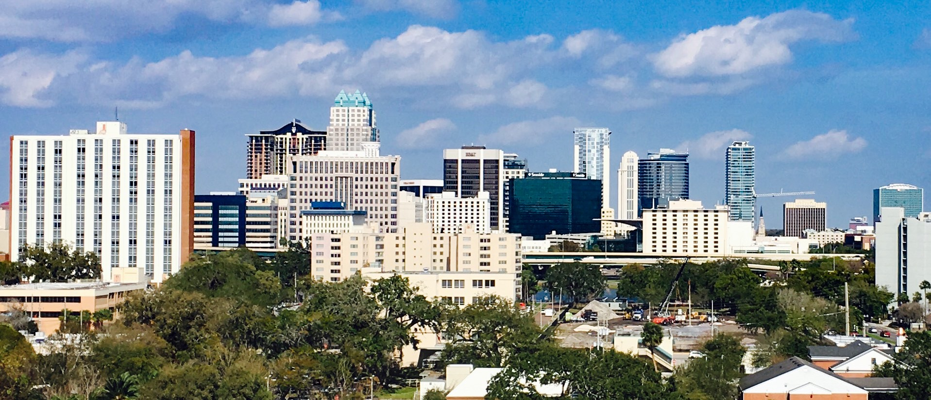


Showing 1–12 of 20 photographs.
About these photographs. Openly licensed images geotagged in or near Lake Nona, found on Wikimedia Commons and served from there with full attribution. Inline photos elsewhere on the page may still come from the site's shared Orlando library.