Live in Altadore
A 1945 community that turned into one of Calgary's most in-demand inner-city addresses, with River Park along its eastern edge.
Altadore was established in 1945 and spent the next fifty years as an ordinary inner-city neighbourhood before becoming one of the most sought-after and most rebuilt parts of Calgary. Marda Loop runs along its northern edge, River Park and the Elbow drop away to the east, and the housing stock is now a mix of original bungalows and the infill that replaced them. This is what living here is actually like.
A 1945 community that rebuilt itself in place
Bounded north by 33 Avenue SW and the South Calgary community, east by 14 Street SW and River Park, west by Crowchild Trail and Garrison Woods, and south by 50 Avenue SW. Ward 8.
Altadore was established in 1945 and spent fifty years as an unremarkable inner-city neighbourhood. What happened next is the whole story: rather than expanding, it rebuilt itself in place. Population went from 6,831 in 2018 to 7,290 in 2021 on the same 2.9 km² of land, and that growth came almost entirely from infill replacing original bungalows.
The result is a housing mix that looks nothing like a 1945 community: 38% detached, 30% semi-detached or duplex, 9% row housing and 23% apartments. You are buying into a street that is still changing, and on many blocks the rebuild is not finished.
The two edges. Marda Loop runs along 33 Avenue at the north — groceries, restaurants and services you can walk to, which is rare in Calgary. River Park and the Elbow escarpment form the eastern edge, with Sandy Beach in the valley below.
What it costs. Median household income was $130,638 in 2015 and low income sat at 7% — this is one of the highest-income established communities on this site, and prices reflect both the location and the rebuild.
- Original 1940s and 1950s stock still exists alongside new infill — condition varies enormously block to block
- Ongoing infill construction means noise, dust and street parking pressure on many blocks
- Semi-detached infill often shares a party wall — check the build quality and the sound separation specifically
- Marda Loop parking is genuinely tight, and the district's growth has not been matched by parking supply
- The Elbow flooded seriously in 2013; understand where a specific property sits relative to the valley
How Altadore got here
- 1945Altadore is established, taking its name from the Spanish for high ground by the water.
- 1952Altadore Elementary opens, serving kindergarten to grade 6.
- 1990sThe neighbouring Currie Barracks lands begin redevelopment, and Garrison Woods reshapes the western edge.
- 2000sInfill redevelopment accelerates — semi-detached and row housing steadily replace original bungalows.
- 2015Median household income recorded at $130,638, with low income at 7% — among the highest-income established communities in the city.
- 2021Population reaches 7,290, up from 6,831 three years earlier, almost entirely through redevelopment rather than new land.
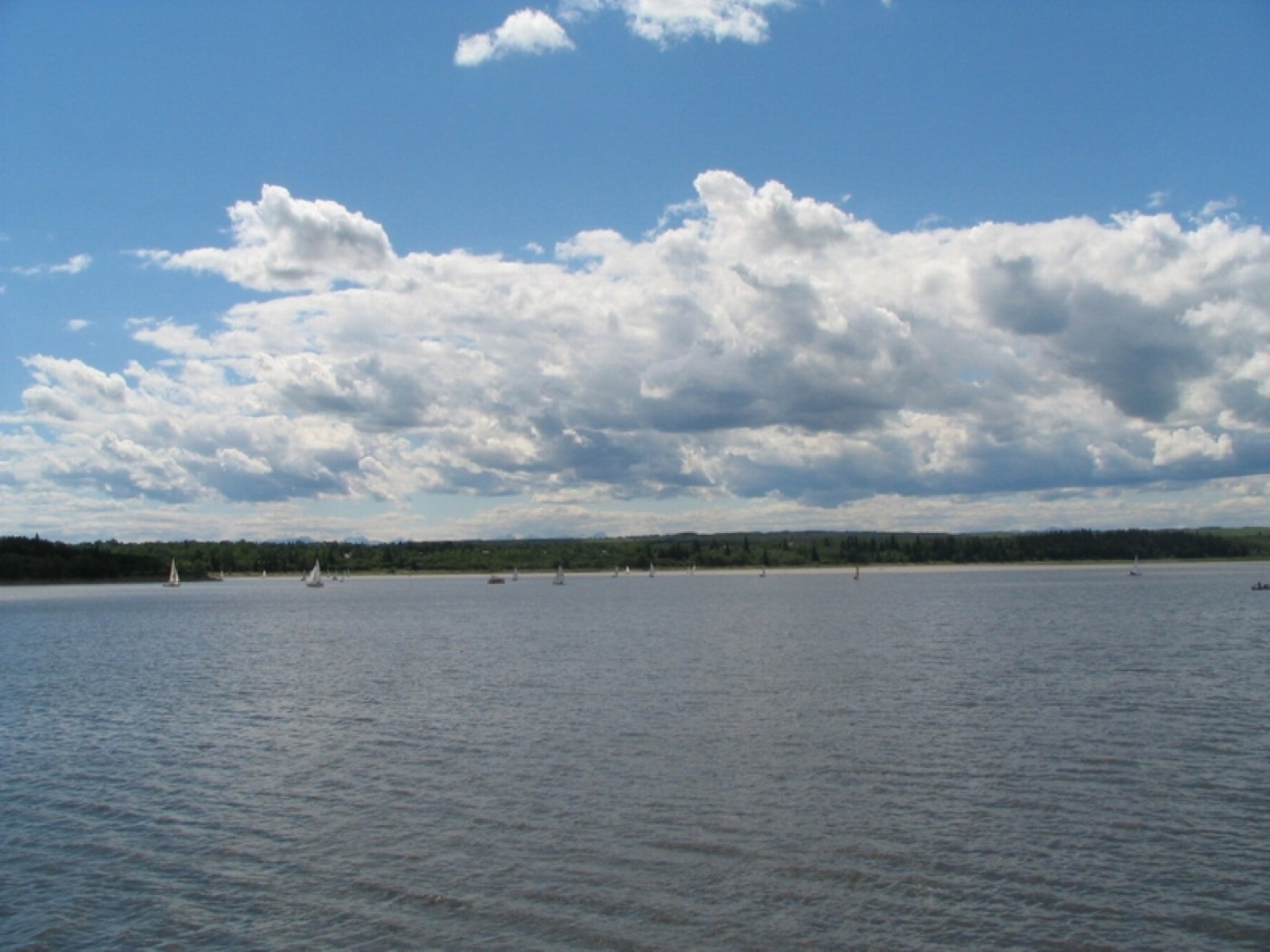
River Park, Sandy Beach and the Glenmore Reservoir
River Park runs along the top of the Elbow escarpment at the community's eastern edge — an off-leash park with long valley views and a steep path down to Sandy Beach on the river itself. South and west, the Glenmore Reservoir adds sailing, rowing and the Weaselhead natural area.




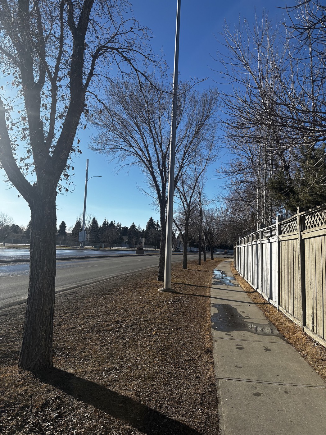
The resident's angle: the off-leash escarpment is the single most-used amenity in this community and one of the busiest dog parks in Calgary — which is either the reason you move here or the reason you do not. Go and stand in it on a Saturday morning before you decide.
19 places, with real drive times
Road-adjusted distance and drive time from the centre of the community to each destination, nearest first. Filter by category.
Showing 1–12 of 19 places, nearest first.
Method: distances and drive times are estimated from the centre of the community to each destination using Calgary's road grid, and are rounded to honest ranges rather than presented as precise figures. The downtown figure is among the shortest on this site, and several of the closest destinations below are walkable rather than drives.
Every gym within reach
There is no single large recreation centre inside the community. What Altadore has instead is a dense cluster of small studios in Marda Loop plus two substantial facilities within ten minutes.
- Fifty-metre pool, diving towers, indoor track, climbing wall and a large fitness floor
- Mount Royal University Recreation adds a triple gymnasium and pool, with public memberships available
- Marda Loop's own offering is small studios — yoga, pilates and small-group training rather than a big club
- River Park and the Sandy Beach pathways are the free option, straight off the eastern edge
| Facility | What it is | Drive |
|---|---|---|
| Repsol Sport Centre open | Fifty-metre pool, diving towers, indoor track, climbing wall and a large fitness floor — the biggest facility within easy reach. | 7–11 min |
| Mount Royal University Recreation open | Triple gymnasium, pool, fitness centre and studios, with public memberships available. | 8–12 min |
| Marda Loop studios open | A cluster of independent yoga, pilates and small-group training studios along 33 Avenue rather than one large club. | 2–5 min |
| Stanley Park outdoor pool open | Seasonal outdoor pool on the Elbow, open through the summer months only. | 5–9 min |
| River Park and Sandy Beach pathways open | Free option: escarpment and river pathways straight off the eastern edge of the community. | 2–4 min |
| Glenmore Athletic Park open | Track, ball diamonds and the Optimist Athletic Park complex south of the community. | 6–10 min |
The free option is the one people actually use. The escarpment path and the river pathway network below it connect into the regional system, which runs unbroken from here into downtown and out to the Glenmore Reservoir.
A community elementary, and a city-wide programme school
Altadore School has served the community since 1952, running kindergarten to grade 6. Dr. Oakley School also sits in the community, but it is a city-wide programme for students with learning disabilities rather than a catchment school — an important distinction when you are reading a school list.
| School | Board | Note |
|---|---|---|
| Altadore School | Calgary Board of Education | Community elementary, kindergarten to grade 6, open since 1952. |
| Dr. Oakley School | Calgary Board of Education | Grades 3–9, with a focus on students with learning disabilities — a city-wide programme rather than a catchment school. |
| Central Memorial High School | Calgary Board of Education | Nearby senior high. Confirm the current designation for a specific address with the board. |
| St. James School | Calgary Catholic | Nearby Catholic elementary and junior high. Confirm the designation for a specific address. |
| Mount Royal University | Post-secondary | Full university campus southwest of the community, with a public recreation centre and conservatory. |
Alberta funds Catholic education the same way it funds public education, so there is no tuition for a resident student at either board. Confirm the current designation for a specific address before you buy — inner-city southwest catchments have shifted repeatedly as infill has changed enrolment, and a school being inside the community does not mean it is the designated one for a given house.
Month by month, what living here looks like
Not a highlights reel — the actual annual rhythm, including the dates residents have to remember.
- River Park's escarpment paths get icy — cleats are normal here
- Chinooks arrive strong on this side of the city
- Marda Loop stays walkable through winter, which is part of the appeal
- Sandy Beach is quiet and worth having to yourself
- Elbow River ice breaks up and refreezes repeatedly
- Shortest month, but noticeably longer light by the end
- Ski traffic west on the Trans-Canada peaks at weekends
- Indoor pools at Repsol and Mount Royal are busiest
- Melt runs down the escarpment — the River Park slopes are the last to dry
- Infill construction season restarts across the community
- Pathways along the Elbow reopen properly
- Spring flooding watch begins on the Elbow
- Off-leash season at River Park hits full swing
- Garden centres open along Macleod and Glenmore
- Last hard frosts — planting waits until the long weekend
- Patio season starts early in Marda Loop
- Elbow runs high with mountain melt — the annual flood watch
- Sandy Beach fills up on the first warm weekends
- Marda Loop's street festival season begins
- Long evenings, with sunset past 9pm by month end
- Stanley Park outdoor pool opens
- Peak daylight at the solstice — over 16 hours
- Sailing and rowing on the Glenmore Reservoir
- School year ends and the pathways get busier
- Calgary Stampede — ten days, about ten minutes northeast
- Marda Loop Justice Film and street festivals
- Evening thunderstorms build over the foothills
- Hottest month, with the river valley noticeably cooler
- Folk Festival on Prince's Island, a short run north
- Kananaskis at its best, straight west through Bragg Creek
- Quietest weeks in the city before school returns
- Sandy Beach at its warmest
- School year restarts and 33 Avenue traffic thickens
- First frost usually arrives late in the month
- Spruce Meadows Masters south of the city
- Escarpment colour begins along the Elbow
- Peak colour in River Park and along the Elbow
- First snow is normal, and normally melts
- Snow tires go on
- Off-leash park at its most pleasant
- Ski season opens west
- Dark by 5pm
- Marda Loop's holiday retail season starts
- Freeze sets in on the escarpment paths
- Holiday season in Marda Loop is genuinely walkable
- Zoolights and Heritage Park's Once Upon a Christmas nearby
- Chinook arches over the western skyline
- Quiet river valley through the holidays
36 photographs of the community and its surroundings
All freely licensed and served from this app — nothing loads from a third party. Filter by category.








Showing 1–12 of 36 photographs.
Honesty note. This page uses only the general Calgary, seasonal, Alberta-wildlife and day-trip photography from the site's shared library. Nothing here is presented as a photograph of Altadore itself.