Live in Bayview
A 1967 Alcan-built peninsula on Glenmore Reservoir — all single-family, zero rental, Calgary's highest income community by the last count.
Bayview was established in 1967, built out by Alcan Design Homes and ready for occupancy by January 1968. At the 2021 census: 670 residents in 245 dwellings on 0.4 km², most of them single-family detached homes — none used for renting. Median household income reached $296,000 at the 2020 count, still among the highest in the city. 1,085 m elevation, Ward 11. This is what living here is actually like.
A private peninsula, built in a single stroke
Bounded by the Glenmore Reservoir to the north, 14 Street SW to the east, Southland Drive to the south, and 24 Street SW to the west. Ward 11.
Bayview was established in 1967, developed whole by Alcan Design Homes and ready for occupancy by January 1968 — every house built to the developer's own designs, with matching front garages and no laneways.
At the 2021 census: 670 residents in 245 dwellings on 0.4 km², most of them single-family detached homes — none used for renting. Median household income reached $296,000 at the 2020 count, still among the highest recorded in the city.
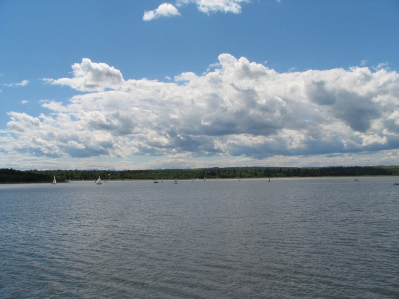
The address is the product: a peninsula on Glenmore Reservoir's southern shore, with Glenmore Landing immediately east and the reservoir's pathway starting at the shoreline.
- Original 1960s stock: expect a full mechanical and structural inspection
- No rental market means almost no entry-level way in — this is a resale-only community
- Boat trailer traffic and marina parking peak on summer weekends
- No school sits inside the community — every child commutes to Palliser
How Bayview got here
- 1967Bayview is established on the peninsula, developed by Alcan Design Homes.
- 1967The first lot, on Bay Shore Drive, sells to politician Bill Dickie.
- 1968Homes are ready for occupancy in January, all designed by Alcan with matching front garages and no laneways.
- 2021Federal census records 670 residents in 245 dwellings, still none rented.



A private shoreline, a wild valley beside it
Glenmore Reservoir's 16 km pathway loop starts at the community's own edge, with North Glenmore Park's sailing school west and Weaselhead Flats' old-growth wilderness further along the shore.



The resident's angle: the marina and the shoreline are the actual amenity — Weaselhead is a proper wilderness a short drive west, not a manicured park.
11 places, with real drive times
Road-adjusted distance and drive time from the centre of the community to each destination, nearest first. Filter by category.
Showing 1–11 of 11 places, nearest first.
Method: distances and drive times are estimated from the centre of the community to each destination using Calgary's road grid, and are rounded to honest ranges rather than presented as precise figures. Glenmore Landing compresses the errand numbers; every school on the list is a commute to Palliser.
Every gym within reach
Southland anchors the south side, the reservoir itself does the rest. Confirm hours and seasons before you count on anything.
- Glenmore Sailing School runs seasonal programs on the water
- The reservoir pathway is the free, year-round option
- Glenmore Landing has commercial studio options
- Weaselhead's trails are a short drive for a longer walk
| Facility | What it is | Drive |
|---|---|---|
| Southland Leisure Centre open | City pools, wave pool, twin rinks and a fitness centre — the anchor facility. | 6–9 min |
| Glenmore Sailing School open | Seasonal sailing, kayak and paddleboard programs on the reservoir. | 3–5 min |
| Glenmore Reservoir pathway open | Free option: the 16 km loop starts at the community's shoreline. | 1–2 min |
| Glenmore Landing area studios open | Commercial fitness options inside the shopping centre. | 1–2 min |
The reservoir is the real facility — sailing and paddling in summer, the pathway loop the rest of the year.
No school inside the peninsula
Nellie McClung carries elementary and John Ware the junior years in neighbouring Palliser; St. Benedict is the Catholic option, also in Palliser.
| School | Board | Note |
|---|---|---|
| Nellie McClung School | Calgary Board of Education | Public elementary in neighbouring Palliser. |
| John Ware Junior High | Calgary Board of Education | Public junior high in Palliser. |
| St. Benedict School | Calgary Catholic | Catholic elementary in Palliser, with a Spanish bilingual program. |
Alberta funds Catholic education the same way it funds public education, so there is no tuition for a resident student at either board. Confirm the designation for a specific address before you buy — every family here commutes off the peninsula for school.
Month by month, what living here looks like
Not a highlights reel — the actual annual rhythm, including the dates residents have to remember.
- The reservoir's ice is thick enough for informal skating some years, though never city-groomed
- Heritage Drive's approach gets priority plowing ahead of the peninsula's own cul-de-sacs
- The mature 1960s spruce canopy holds a heavier snow load than the younger communities to the south
- With 245 homes and almost no turnover, the peninsula stays quiet even through the holidays
- Wind off the frozen reservoir makes the shoreline pathway colder than the sheltered cul-de-sacs
- The Calgary Canoe Club's clubhouse sits closed for the season, boats stored since fall
- Chinooks off the reservoir clear the peninsula's driveways faster than the inland streets
- A for-sale sign on the peninsula is rare enough to be a neighbourhood event
- The reservoir's ice greys and weakens along the shoreline first
- Elbow River runoff upstream starts feeding into the reservoir as the melt begins
- The cul-de-sacs thaw unevenly — shaded loops hold their ice longer than the sunnier ones
- Bare branches in the mature canopy still let in enough light for the first crocuses
- The reservoir reopens to boats once the ice clears, ahead of the Canoe Club's season
- Spring runoff from the Elbow River pushes reservoir levels up through the month
- Buds on the 1960s canopy are the first visible green on the peninsula
- Heritage Drive traffic picks up as the rest of the city heads for the reservoir pathway
- The Calgary Canoe Club opens its season on the reservoir
- Lilacs and mature caragana hedges, original to the 1960s builds, bloom through the cul-de-sacs
- Reservoir levels peak with the last of the Elbow River's spring melt
- Long evenings bring paddlers out along the peninsula's own shoreline
- Regatta traffic brings the only real crowds the peninsula sees all year
- The mature canopy gives Bayview's cul-de-sacs the deepest shade of any community on the reservoir
- Sailors and paddlers fill the water on weekend afternoons
- School lets out, and the peninsula's quiet cul-de-sacs get a rare burst of kids outside
- Boat trailers queue for the reservoir's launch through the month
- The Canoe Club runs its busiest lessons and camps of the year
- Heritage Drive carries the summer's heaviest reservoir-bound traffic
- The 1960s canopy's shade keeps the cul-de-sacs several degrees cooler than open streets nearby
- Reservoir levels start their gradual late-summer drawdown
- The Canoe Club's season winds toward its final regattas
- Mature trees on the peninsula start dropping leaves before the younger canopy south of Heritage Drive
- The peninsula's near-total quiet holds even through the city's busiest month
- The Canoe Club pulls boats for the season as the water cools
- Reservoir levels drop further into the annual fall drawdown
- The mature canopy turns early, well ahead of the younger trees south of Heritage Drive
- With almost no turnover, September's usual moving traffic barely touches the peninsula
- Fall colour through the 1960s canopy is Bayview's best seasonal display
- The drawn-down reservoir exposes more shoreline than at any other time of year
- Heritage Drive traffic thins once the Canoe Club's season ends
- The cul-de-sacs go quiet as the last paddlers pack it in for the year
- The reservoir starts to skim over with ice along its calmer edges
- The bare 1960s canopy opens up sightlines across the water that summer foliage hides
- Heritage Drive gets the peninsula's first real test of the winter plow schedule
- The cul-de-sacs, always quiet, feel especially still once the boats are gone for the year
- The reservoir freezes over fully most winters, ending the open-water season
- Mature spruce along the cul-de-sacs carry the peninsula's best holiday-light displays
- Heritage Drive's approach is the peninsula's main link to the rest of the city over the holidays
- With 245 homes and near-zero turnover, the same families mark the season year after year
36 photographs of the community and its surroundings
All freely licensed and served from this app — nothing loads from a third party. Filter by category.







Showing 1–12 of 36 photographs.
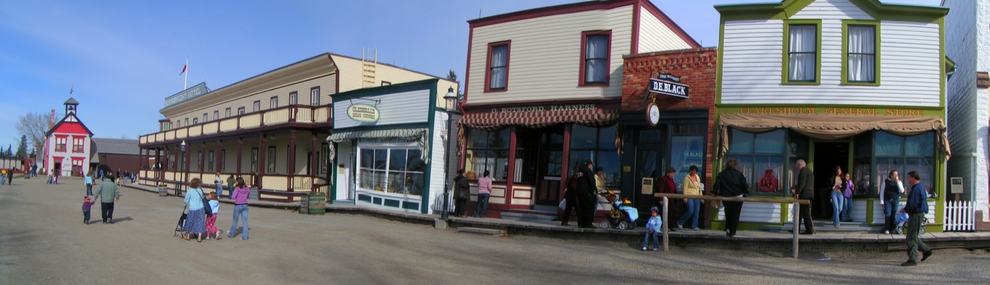
Honesty note. This page uses only the general Calgary, seasonal, Alberta-wildlife and day-trip photography from the site's shared library. Nothing here is presented as a photograph of Bayview itself.