Live in Pump Hill
Calgary's smallest estate pocket, on the Glenmore Reservoir's south shore, named for the windmill that once pumped water for a market garden.
Pump Hill was established in 1967, still incorporated within Palliser at the time, and became a community in its own right only in 1991: 0.9 km², 1,455 residents in 600 dwellings at the 2021 census, on the Glenmore Reservoir's southern shore. The name comes from a forty-foot windmill the Patton family built in 1910 to pump water for their market garden, and Patton family names now fill the street signs. This is one of the smallest and most affluent pockets in the city — median household income was $140,000 in 2020 — but a quarter of its dwellings are rented, not the near-zero figure the estate reputation implies. Inventory is thin enough that the whole pocket can go months without a listing. This is what living here is actually like.
A 1967 estate pocket on the reservoir's own shore
Bounded by 90 Avenue SW and the Glenmore Reservoir to the north, 14 Street SW to the east, Southland Drive to the south, and 19 Street SW to the west. Ward 11.
Pump Hill is 0.9 km², one of the smallest communities in the city, established in 1967 while still part of Palliser and split off as its own community in 1991. The name comes from a forty-foot windmill the Patton family built in 1910 to pump water for their market garden, decades before the Glenmore Reservoir existed a stone's throw north.
The affluence is real, and so is the rental share. Median household income was $140,000 in 2020, among the highest figures on this site. But 25% of the pocket's 600 dwellings were rented at the 2021 census — a quarter, not the near-zero figure the estate reputation suggests. Nearly 80% of the housing stock is 1961–1990 construction, so age is a real factor at resale.
Thin inventory is the practical reality. At 1,455 residents in 600 dwellings, the pocket can go months between listings, and comparables are hard to find outside the immediate streets.

- 600 dwellings total, so months can pass without a single comparable listing
- 25% of homes here are rented — confirm before assuming an all-owner street
- 1960s–1980s originals carry the era's full inspection list, estate lot or not
- No school sits inside the pocket; every family drives or buses to a designated school
How Pump Hill got here
- 1903The Patton family begins market gardening on the land.
- 1910A forty-foot windmill pump built on the Patton farm gives the future community its name.
- 1967Development of Pump Hill begins, still part of the Palliser community.
- 1991Pump Hill becomes a community in its own right.
- 2020Median household income is recorded at $140,000.
- 2021Federal census records 1,455 residents in 600 dwellings, a quarter of them rented.



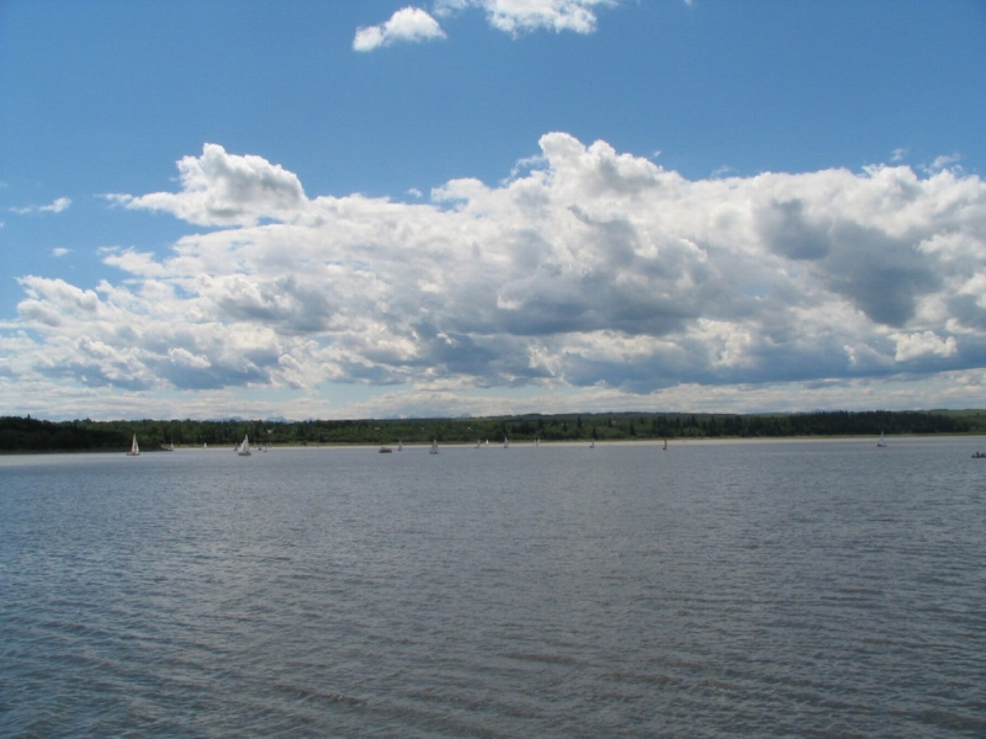
The reservoir as the entire northern property line
Glenmore Reservoir forms Pump Hill's entire northern boundary, with the Weaselhead Natural Area beyond it — sailing and rowing in summer, a groomed shoreline pathway, and Rockyview General Hospital visible across the water.

The resident's angle: the reservoir view is the product on the north-facing lots; the rest of the pocket is a two-minute drive from the same shoreline.

12 places, with real drive times
Road-adjusted distance and drive time from the centre of the community to each destination, nearest first. Filter by category.
Showing 1–12 of 12 places, nearest first.
Method: distances and drive times are estimated from the centre of the community to each destination using Calgary's road grid, and are rounded to honest ranges rather than presented as precise figures. Pocket-scale list — Southland Drive and 14 Street carry everything further.
Every gym within reach
Southland Leisure Centre is the nearest full facility. The reservoir pathway is the free option most residents actually use.
- Glenmore Reservoir and Weaselhead pathways are the free option, off the pocket's own edge
- Glenmore Landing's plaza carries a handful of commercial studios
- Chinook Centre's cluster is the larger commercial option, ten to fifteen minutes north
- John Ware's gym runs evening community programs for the immediate area
| Facility | What it is | Drive |
|---|---|---|
| Southland Leisure Centre open | Wave pool, water slides, two ice rinks and a fitness centre — the nearest full facility. | 4–6 min |
| Glenmore Reservoir & Weaselhead pathways open | Free option: reservoir and valley pathways straight off the pocket's own edge. | 1–2 min |
| Glenmore Landing area clubs open | Commercial gyms in the Glenmore Landing plaza. | 5–8 min |
| Chinook Centre area clubs open | Commercial options clustered around the mall. | 10–15 min |
The reservoir does the daily work — the paid options are for water, weights and winter.
No school inside the pocket
Pump Hill is too small to carry its own school. Nellie McClung, John Ware and St. Benedict all sit just outside the boundary, in neighbouring Palliser.
| School | Board | Note |
|---|---|---|
| Nellie McClung School | Calgary Board of Education | Public elementary in neighbouring Palliser — no school sits inside Pump Hill's own 0.9 km². |
| John Ware Junior High | Calgary Board of Education | Public junior high directly on the community's own western boundary. |
| St. Benedict Elementary | Calgary Catholic School District | Catholic elementary designation nearby, in Palliser. Confirm for a specific address. |
| Henry Wise Wood High School | Calgary Board of Education | Public senior high serving the area, feeding from John Ware. |
Alberta funds Catholic education the same way it funds public education, so there is no tuition for a resident student at either board. Confirm the designation for a specific address before you buy — Pump Hill's tiny footprint means a house on one street can designate differently than a house two streets over.
Month by month, what living here looks like
Not a highlights reel — the actual annual rhythm, including the dates residents have to remember.
- Pump Hill's long driveways mean plow contractors, not shovels, clear most of the pocket after a dump
- The reservoir's shallow western arm near Weaselhead freezes first, well before the main basin
- 90 Avenue gets city plows before the pocket's own quiet cul-de-sacs do
- Windows on the reservoir-facing lots frost thick enough to blur the far shore
- A chinook off the reservoir strips bare the driveways the pocket just paid to clear
- John Ware's gym runs evening intramurals through the year's coldest stretch
- Ice anglers set up shacks on the reservoir's Weaselhead-side shallows
- The year's hardest cold snap tends to land in this month rather than January
- Runoff off the escarpment above the reservoir cuts channels through Weaselhead's lower flats
- Cleats earn their keep on the reservoir pathway's still-icy, north-facing stretch
- Estate hedges along 19 Street get assessed for winterkill before the growing season starts
- Southland Drive's shoulder ice outlasts the salted arterials by a week or two
- Rowing shells go back on Glenmore Reservoir, visible from the pocket's north-facing yards
- Weaselhead's cottonwoods bud first, ahead of anything planted on Pump Hill's own streets
- A thin listing season means one For Sale sign here draws the whole pocket's attention
- The last hard frost usually passes before most of the estate lots plant out
- The reservoir climbs toward its summer pool level, changing the view from the ridge lots
- John Ware's outdoor field sports take over the shared green space by mid-month
- Long evenings turn the reservoir pathway into the pocket's default after-dinner walk
- Lawn crews book out the pocket's larger lots for the whole growing season
- Sailors and paddlers on the reservoir are visible from the pocket's own back fences
- School lets out and Weaselhead's trailheads see the year's first real crowds
- Irrigation bills on the pocket's bigger lots start climbing with the heat
- Foothill thunderstorms building west of the city are visible clean across the water
- Boat traffic on the reservoir peaks over the Stampede long weekend
- Weaselhead's shaded valley trail beats the open reservoir path for a midday walk in the heat
- Landscaping crews are booked solid across the pocket's estate lots through the month
- Southland Drive carries steady weekend traffic toward the reservoir's boat launches
- Weaselhead's cottonwoods start shedding seed fluff along the reservoir trail
- The reservoir begins its late-summer drawdown, widening the exposed shoreline
- The pocket is at its quietest in the weeks before the John Ware school run resumes
- Wildfire haze from the west can sit low over the water on windless days
- Morning traffic on 90 Avenue thickens with the John Ware and Henry Wise Wood run
- Weaselhead's aspens turn first, visible from the reservoir's south shore below the pocket
- The reservoir's autumn drawdown continues, narrowing what's left of the sailing season
- Estate hedges get a last trim before growth stops for the year
- Peak colour runs down through Weaselhead to the reservoir's edge
- The reservoir's drawdown leaves mudflats exposed along Pump Hill's own shoreline
- Private plow contracts get renewed across the pocket ahead of the first real snowfall
- Frost on the estate lots' mature spruce arrives here well before it reaches the rest of the city
- Reservoir-facing streets lose direct light early once the sun drops behind the escarpment
- Weaselhead's switchback trail gets its first ice on the shaded turns
- Driveway lighting comes on early across the pocket's long, dark approaches
- The reservoir's shallow arm near Weaselhead skins over with the season's first real freeze
- The reservoir's ice rarely holds enough weight to trust before the new year
- Holiday lighting is understated here — the lots are simply too far apart for a dense display
- Streets named for the Patton family who farmed this land carry the quietest holiday traffic in the southwest
- The pocket's short winter days end early behind the escarpment's own shadow
36 photographs of the community and its surroundings
All freely licensed and served from this app — nothing loads from a third party. Filter by category.







Showing 1–12 of 36 photographs.
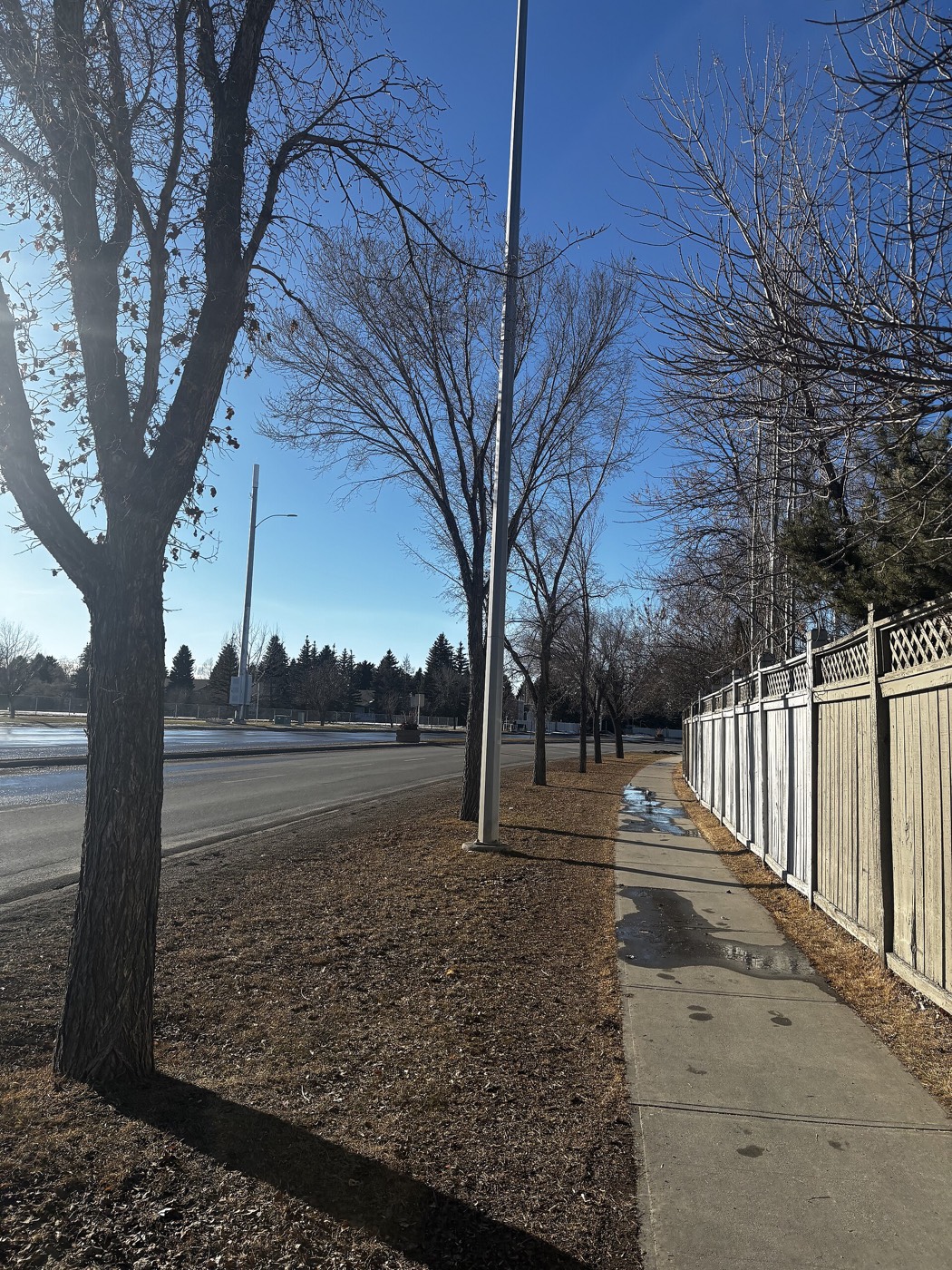
Honesty note. This page uses only the general Calgary, seasonal, Alberta-wildlife and day-trip photography from the site's shared library. Nothing here is presented as a photograph of Pump Hill itself.