
Live in Christie Park
A 0.8 km² pocket on the escarpment above Sarcee Trail, established in 1990 and still one of the smallest communities in the southwest.
Christie Park was established in 1990 on land annexed to the city in 1956: 0.8 km², 1,880 residents in 700 dwellings at the 2021 census, with rental at just 7%. The community sits on the ridge above Sarcee Trail, wedged between Strathcona Park to the north and Signal Hill to the south, with Westhills and Signal Hill Centre a short drive away and Sirocco and 69 Street CTrain stations putting the West Line within reach. The honest tension is size: at 700 dwellings, listings are rare, there is no school or park inside the community's own boundary, and everything from schooling to groceries is a short drive into a neighbour. This is what living here is actually like.
A 1990 pocket with almost nothing inside its own boundary
Bounded by Strathcona Drive and the community of Strathcona Park to the north, Sarcee Trail to the east, 17 Avenue SW to the south, and 69 Street W to the west. Ward 6.
Christie Park is one of the smallest communities in the southwest — 0.8 km², 1,880 residents in 700 dwellings at the 2021 census — established in 1990 on the ridge above Sarcee Trail.
The pocket's edges. Strathcona Drive and Strathcona Park form the northern boundary, Sarcee Trail the eastern, 17 Avenue SW the southern, and 69 Street W the western — four hard lines around a community that is essentially one ridge's worth of streets.
Almost nothing sits inside the boundary besides housing and the Calgary Islamic Centre; the elementary school, the shopping and the nearest park are all a short drive into a neighbour. Rental sits at just 7%, among the lowest in this cluster of hillside communities.
What it costs. Median household income was $149,000 in 2020, and at 700 dwellings total, listings are genuinely rare — a property here can sit off the market for months simply because so few change hands in a given year.

- No school, park or grocery sits inside Christie Park's own boundary — everything is a short drive into Strathcona Park, Signal Hill or Westhills
- At 700 dwellings total, inventory is thin; a search here can run empty for weeks at a time
- Sarcee Trail carries real traffic and road noise along the entire eastern edge
- 69 Street W's western boundary means rush-hour backups reach the community's own streets
How Christie Park got here
- 1956The land is annexed to the City of Calgary from the Municipal District of Rocky View.
- 1990Christie Park is established on the ridge above Sarcee Trail.
- 2012Sirocco and 69 Street CTrain stations open on the West LRT extension, both within a short drive.
- 2021Federal census records 1,880 residents in 700 occupied dwellings, with rental at 7%.



The hillside numerals, a short drive south
Christie Park owns no park of its own. The ridge it sits on runs south into Signal Hill's Battalion Park, where 16,000 stones spell out four battalion numbers on the slope above Sarcee Trail.


The resident's angle: the view is free from the ridge streets themselves — walking to the numerals means leaving the community, but seeing them does not.
14 places, with real drive times
Road-adjusted distance and drive time from the centre of the community to each destination, nearest first. Filter by category.
Showing 1–12 of 14 places, nearest first.
Method: distances and drive times are estimated from the centre of the community to each destination using Calgary's road grid, and are rounded to honest ranges rather than presented as precise figures. This is a pocket-scale list — Sarcee Trail and 69 Street carry everything further.
Every gym within reach
WestSide Recreation Centre, a short drive north on 69 Street, is the nearest full facility. Everything else within easy reach belongs to a neighbouring community.
- Wave pool, two ice rinks, climbing wall and fitness centre
- Battalion Park's slope is the free option, a short drive south
- Westhills' commercial gyms cluster around the Towne Centre
- Canada Olympic Park adds a ski hill and year-round training gym north on Sarcee Trail
| Facility | What it is | Drive |
|---|---|---|
| WestSide Recreation Centre open | Wave pool, two ice rinks, climbing wall and fitness centre — the anchor facility for this hillside cluster. | 4–6 min |
| The ridge streets and Battalion Park open | Free option: the escarpment above Sarcee Trail and the hillside slope in neighbouring Signal Hill. | 4–7 min |
| Westhills district clubs open | Commercial gyms around the Westhills Towne Centre plaza. | 4–6 min |
| Canada Olympic Park (WinSport) open | Ski hill, luge track and a year-round training gym across the river. | 10–13 min |
The ridge does the daily work — the paid options are for pools, rinks and weight rooms.
No school inside the boundary
Christie Park's 700 dwellings support no school of their own. Elementary designates across Strathcona Drive to Olympic Heights, junior high to Vincent Massey, and senior high to Ernest Manning.
| School | Board | Note |
|---|---|---|
| Designated schools | Both boards | No school sits inside Christie Park's own boundary; elementary designates to Olympic Heights across Strathcona Drive in Strathcona Park. |
| Olympic Heights School | Calgary Board of Education | Public K–6, immediately across Strathcona Drive in neighbouring Strathcona Park. |
| Vincent Massey School | Calgary Board of Education | The public junior high designation; confirm for a specific address. |
| Ernest Manning High School | Calgary Board of Education | The public senior high designation, in neighbouring Springbank Hill. |
Alberta funds Catholic education the same way it funds public education, so there is no tuition for a resident student at either board. Confirm the designation for a specific address before you buy — with no school inside the boundary, every designation here comes from a neighbouring community.
Month by month, what living here looks like
Not a highlights reel — the actual annual rhythm, including the dates residents have to remember.
- Sarcee Trail's exposed eastern edge carries the coldest wind in the community
- The Calgary Islamic Centre's lot is the pocket's busiest through winter Friday prayers
- 69 Street Station's open platform is a short, cold drive north for the West Line
- Indoor recreation at Westhills carries the season for most households
- A chinook off the escarpment can clear Christie Park's ridge streets of snow within an afternoon
- Battalion Park's numerals, visible south along Sarcee Trail, still wear their winter coat
- Ski traffic on the Trans-Canada, reached via Sarcee Trail, peaks on Friday and Sunday afternoons
- The coldest week of the year often lands here rather than in January
- Melt and refreeze on the ridge streets makes ice cleats the right call
- Sirocco and 69 Street both shed their platform ice as the plateau warms
- Cineplex Odeon Westhills' matinee crowds pick up on the last cold weekends
- Street sweeping starts late in the month on the community's short, tight streets
- Last hard frosts pass before the pocket's mature yards go into planting
- Westhills' garden centre opens for the season, a short drive west
- Field sports move outdoors at Olympic Heights, just north across Strathcona Drive
- Migratory birds return along the ridge above Sarcee Trail
- Long evenings, with sunset past 9pm by month end
- Christie Park's tiny inventory means a listing can sit unseen for weeks even in the strongest month
- Westhills' outdoor patios open for the season
- The escarpment ridge streets green up before the sheltered valley communities below
- School lets out at Olympic Heights and the pocket empties out for the day
- Peak daylight at the solstice — over 16 hours
- Sirocco and 69 Street see their first summer festival crowds
- Evening thunderstorms build over the foothills, visible from the ridge
- Calgary Stampede crowds shift parking pressure onto Sirocco and 69 Street
- Hottest month, with the ridge catching more wind than the valley below
- Westhills' lot is at its fullest through the Stampede stretch
- Canada Day events fill Signal Hill Centre's plaza a short drive south
- Kananaskis-bound traffic on the Trans-Canada is visible from the community's western streets
- Quietest weeks before Olympic Heights and the CBE calendar restart
- Smoke from western wildfires is possible on windless days
- The Calgary Islamic Centre's grounds are at their busiest before the school year returns
- School year restarts at Olympic Heights and Strathcona Drive's morning traffic thickens
- First frost typically arrives late in the month on the exposed ridge
- Poplar and aspen colour begins along Sarcee Trail's shoulder
- Evenings shorten fast on the pocket's short streets
- Peak autumn colour runs along the ridge above Sarcee Trail
- First snow is normal, and normally melts by afternoon
- Snow tires go on before the community's short streets ice over
- Battalion Park's numerals catch the season's first dusting, visible to the south
- Ski season opens west on the Trans-Canada, reached via Sarcee Trail
- Dark by 5pm
- Westhills' holiday retail season begins
- Freeze sets in for good on the exposed ridge streets
- A chinook arch over the western skyline is a regular sight from the ridge
- The Calgary Islamic Centre's lot fills for holiday-season Friday prayers
- Outdoor rinks open in the surrounding communities once the freeze holds
- Quiet, short days between the holidays on the pocket's tight streets
36 photographs of the community and its surroundings
All freely licensed and served from this app — nothing loads from a third party. Filter by category.






Showing 1–12 of 36 photographs.
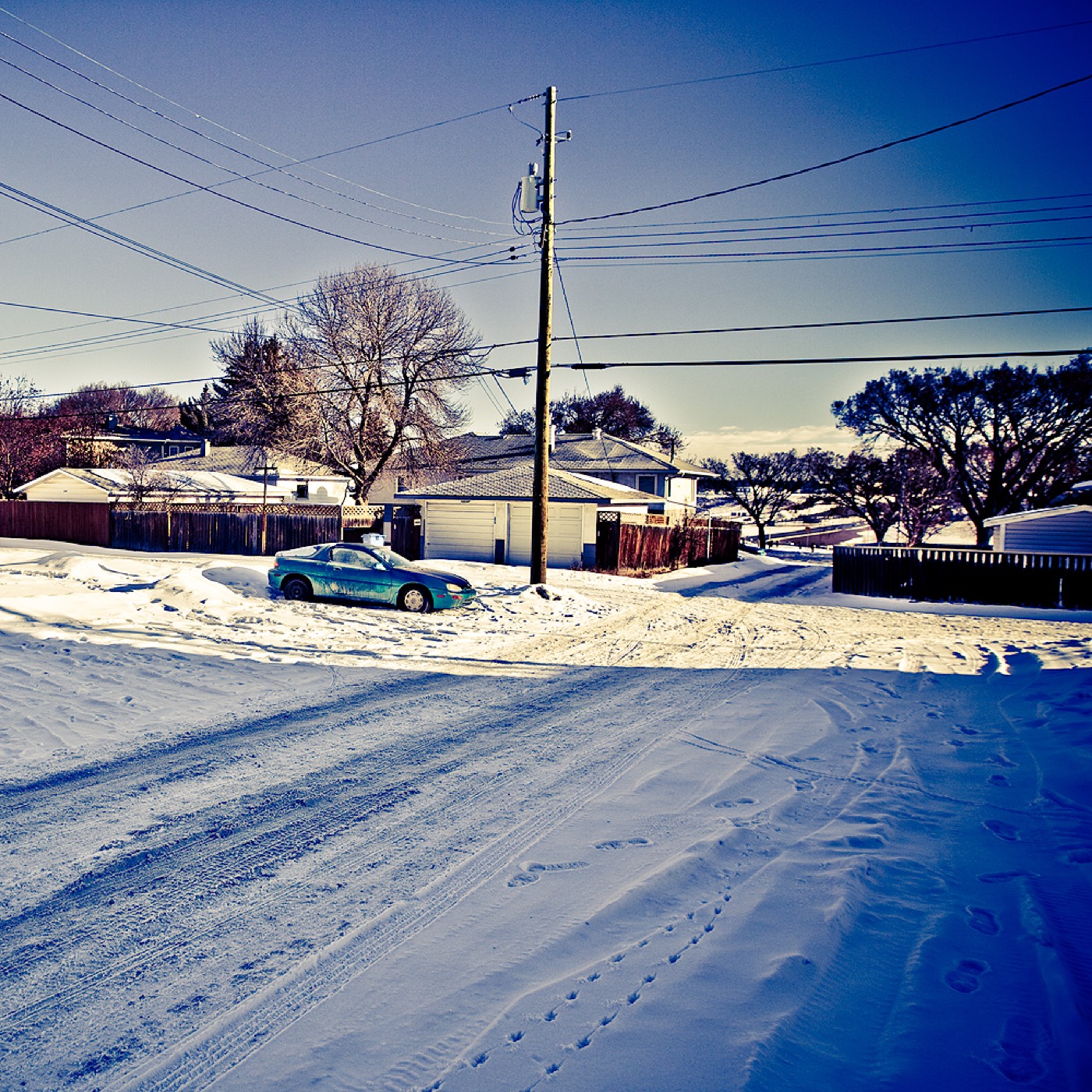
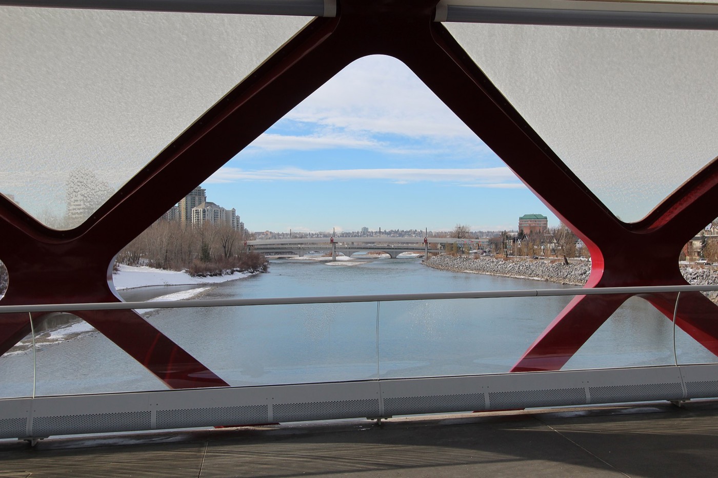
Honesty note. This page uses only the general Calgary, seasonal, Alberta-wildlife and day-trip photography from the site's shared library. Nothing here is presented as a photograph of Christie Park itself.