Live in Discovery Ridge
A 1990s community reached by a single road, wedged between Griffith Woods' 93-hectare Elbow River forest and the Tsuu T'ina First Nation boundary.
Discovery Ridge was established in 1990 and built out through the late 1990s and 2000s under its original name, New Discovery, on what longtime Calgarians called Jackson's Valley beside the Sarcee military reserve: 3.6 km², 4,330 residents in 1,635 dwellings at the 2021 census, with rental now at 19%. Griffith Woods Park's 93 hectares of protected spruce and poplar forest wrap the community's southern edge along the Elbow River, and Discovery Ridge Boulevard is the only road in or out. That single access point is the community's defining fact — there is no through-traffic and no second route during a closure, a fact the 2013 flood made literal. This is what living here is actually like.
A 1990s community with one road in and one road out
Bounded by Stoney Trail to the north, 69 Street W to the east, Rocky View County and the city limits to the west, and the Elbow River and the Tsuu T'ina First Nation reserve to the south. Ward 6.
Discovery Ridge was established in 1990 and built out through the late 1990s and 2000s under its original name, New Discovery, on what longtime Calgarians called Jackson's Valley beside the Sarcee military reserve — 3.6 km², 4,330 residents in 1,635 dwellings at the 2021 census. It was first planned as a gated community; that idea was dropped before construction began, but the geography ended up doing the same job.
The one road. Discovery Ridge Boulevard is the community's only connection to the rest of the city. There is no through-traffic, no shortcut, and no second route if that one road closes — a fact that stopped being theoretical in 2013, when the Elbow River flooded, the community was evacuated, and Griffith Woods Park went almost entirely underwater.
Griffith Woods. The community's southern edge is a 93-hectare protected forest of white spruce and balsam poplar along the Elbow River, created in 2000 from a donated estate. It is genuinely inside easy walking distance of most of the community, and it is also the reason the flood risk is not abstract.
Rental has climbed to 19% at the 2021 census, up from essentially none in the community's early years — a real shift in a place that was built almost entirely as owner-occupied single-family housing.

- Discovery Ridge Boulevard is the community's only access road — a closure, construction, or an incident there cuts the community off
- The Elbow River flooded the community in 2013; Griffith Woods Park went almost entirely underwater and residents built their own berm afterward
- High school was redesignated from Ernest Manning to Central Memorial in 2019 due to overcrowding — confirm the current designation
- The single-road bottleneck is worst at the September school-run and during any Stampede-week traffic
- Rental has risen to 19%, a real change from the community's original all-owner character
How Discovery Ridge got here
- 1990Discovery Ridge is established on what longtime Calgarians called Jackson's Valley.
- 1990sDevelopment begins under the original name New Discovery, first planned as a gated community before the idea is dropped.
- 2000Griffith Woods Park is created, protecting 93 hectares of spruce and poplar forest along the Elbow River.
- 2013The Elbow River floods; Discovery Ridge is evacuated and Griffith Woods Park is submerged, and residents later build their own flood berm.
- 2019The Calgary Board of Education redesignates the community's high schoolers from Ernest Manning to Central Memorial due to overcrowding.
- 2021Federal census records 4,330 residents in 1,635 dwellings, with rental at 19%.



93 protected hectares along the Elbow River
Griffith Woods Park runs along the community's southern edge on the Elbow River — one of only two large stands of white spruce left in the City's park system, with balsam poplar, orchids, and resident moose and deer. The City created it in 2000 from a donated estate.

The resident's angle: the park is the single best reason to live here and the clearest evidence of the flood risk — it sat almost entirely underwater in 2013, and it will flood again in a large enough water year.
14 places, with real drive times
Road-adjusted distance and drive time from the centre of the community to each destination, nearest first. Filter by category.
Showing 1–12 of 14 places, nearest first.
Method: distances and drive times are estimated from the centre of the community to each destination using Calgary's road grid, and are rounded to honest ranges rather than presented as precise figures. Every route out of Discovery Ridge starts on the same single road, so these times assume no incident on it.
Every gym within reach
There is no gym inside the community. WestSide Recreation Centre, reached via Old Banff Coach Road, is the nearest full facility, and Griffith Woods Park's own trails are the free option on the community's doorstep.
- Wave pool, two ice rinks, climbing wall and fitness centre
- Griffith Woods Park's river trail is the free option, on the community's own edge
- Canada Olympic Park adds a ski hill and year-round training gym further north
- Signal Hill Centre's commercial gyms cluster around the plaza northeast of here
| Facility | What it is | Drive |
|---|---|---|
| WestSide Recreation Centre open | Wave pool, two ice rinks, climbing wall and fitness centre — the anchor facility for this hillside cluster. | 8–11 min |
| Griffith Woods Park trails open | Free option: 93 hectares of protected forest and river trail along the community's own edge. | 1–3 min |
| Canada Olympic Park (WinSport) open | Ski hill, luge track and a year-round training gym, north via Old Banff Coach Road. | 13–17 min |
| Signal Hill Centre district clubs open | Commercial gyms around the Signal Hill Centre plaza. | 9–13 min |
The park does the daily work — the paid options require leaving on the community's one road out.
One school inside, everything else outside
Griffith Woods School carries kindergarten to grade 9 inside the community, also serving Springbank Hill. Senior high designates out to Central Memorial, redirected here from Ernest Manning in 2019 due to overcrowding.
| School | Board | Note |
|---|---|---|
| Griffith Woods School | Calgary Board of Education | Public K–9 inside the community, also serving Springbank Hill and, for some grades, Signal Hill. |
| Bishop Pinkham Junior High | Calgary Board of Education | Public junior high option outside the community, in Lakeview. |
| St. Michael School | Calgary Catholic School District | Catholic K–9 designation, outside the community toward Lakeview. |
| Central Memorial High School | Calgary Board of Education | The senior high designation since 2019, redirected here from Ernest Manning due to overcrowding. Confirm for a specific address. |
Alberta funds Catholic education the same way it funds public education, so there is no tuition for a resident student at either board. Confirm the designation for a specific address before you buy — the 2019 high school redesignation shows these boundaries do move.
Month by month, what living here looks like
Not a highlights reel — the actual annual rhythm, including the dates residents have to remember.
- Cold air pools in the Elbow River valley, so Discovery Ridge often reads several degrees colder than the ridges above it
- Griffith Woods' white spruce stand holds its snow load long after the surrounding poplar bends bare
- Discovery Ridge Boulevard, the only way in or out, gets priority plowing before the interior streets do
- Moose tracks are a regular sight along the Elbow River trail through the park
- A chinook reaches the valley floor later than it reaches the ridge communities above
- The community's flood berm, built after 2013, sits quiet under snow
- Griffith Woods' river-ice sections stay unstable even on the coldest days
- The coldest week of the year often settles into the valley rather than passing through
- Meltwater off the escarpment above feeds into the Elbow before the valley's own snowpack goes
- Cleats are the right footwear on Griffith Woods' packed-ice river trail
- Discovery Ridge Boulevard's single lane each way gets its worst pothole season
- Spring flood-watch notices on the Elbow start circulating in the community association's updates
- The annual flood watch on the Elbow is not background noise here — it is the fact residents track most closely
- Griffith Woods' white spruce and balsam poplar canopy leafs out over the river trail
- Deer move down off the escarpment into the community's mature yards
- Last hard frosts pass later in the valley than on the plateau above it
- Orchids bloom in Griffith Woods' understory, one of the park's quieter distinctions
- Sunset past 9pm turns the river trail into an evening walking loop
- Discovery Ridge Boulevard carries the season's first weekend park traffic
- The community's flood berm gets its annual inspection before the runoff peaks
- Griffith Woods School lets out and the river trail gets its first summer crowds
- The Elbow typically peaks with mountain snowmelt in June, the height of the annual flood watch
- Peak daylight at the solstice gives the valley long evening light despite its lower elevation
- Thunderstorms building over the foothills are visible from the community's western edge, closer to the mountains than most of Calgary
- The Elbow runs low and clear through Griffith Woods by mid-summer
- Discovery Ridge Boulevard is the only route in for Stampede-week visitors too, and it shows
- Hottest month, with the valley floor noticeably cooler than the plateau communities above
- Moose and deer are most active in the park at dawn and dusk through the heat
- Griffith Woods' cottonwoods start dropping seed fluff along the river trail
- Kananaskis-bound traffic on Old Banff Coach Road is a short drive from the community's only exit
- Quietest weeks before Griffith Woods School's back-to-school rush
- Wildfire haze can settle deep in the valley on windless days, slower to clear than on the ridge above
- Griffith Woods School restarts and Discovery Ridge Boulevard carries the whole community's morning traffic at once
- First frost usually settles into the valley before it reaches the plateau communities above
- Aspen and poplar in Griffith Woods turn first among the park's canopy
- The single-road bottleneck is most visible during the September school-run crunch
- Peak colour runs through Griffith Woods' balsam poplar stands along the river
- First snow is normal in the valley, and it lingers longer than on the exposed plateau above
- Snow tires go on before Discovery Ridge Boulevard's single lane turns slick
- Moose are more visible in the park as the understory thins
- Griffith Woods' white spruce stands out darker against the season's first snow
- Dark by 5pm settles into the valley earlier than on the surrounding ridges
- The community's single access road gets its first real test of the season's first snowfall
- Freeze sets in on the Elbow's slower side-channels through the park
- A chinook arch is visible over the escarpment from the valley floor, even when the warmth takes longer to arrive
- Griffith Woods' river trail stays open for walkers who bundle up over the holiday break
- Discovery Ridge Boulevard carries the community's only holiday traffic, in and out
- The valley's cold-air pooling means block heaters matter more here than in the ridge communities above
36 photographs of the community and its surroundings
All freely licensed and served from this app — nothing loads from a third party. Filter by category.







Showing 1–12 of 36 photographs.
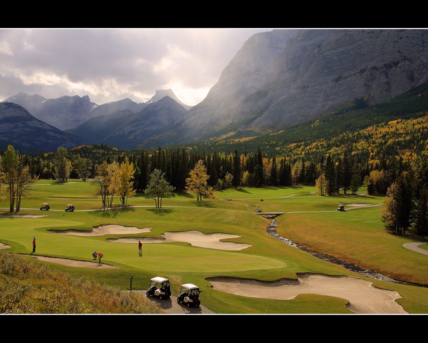
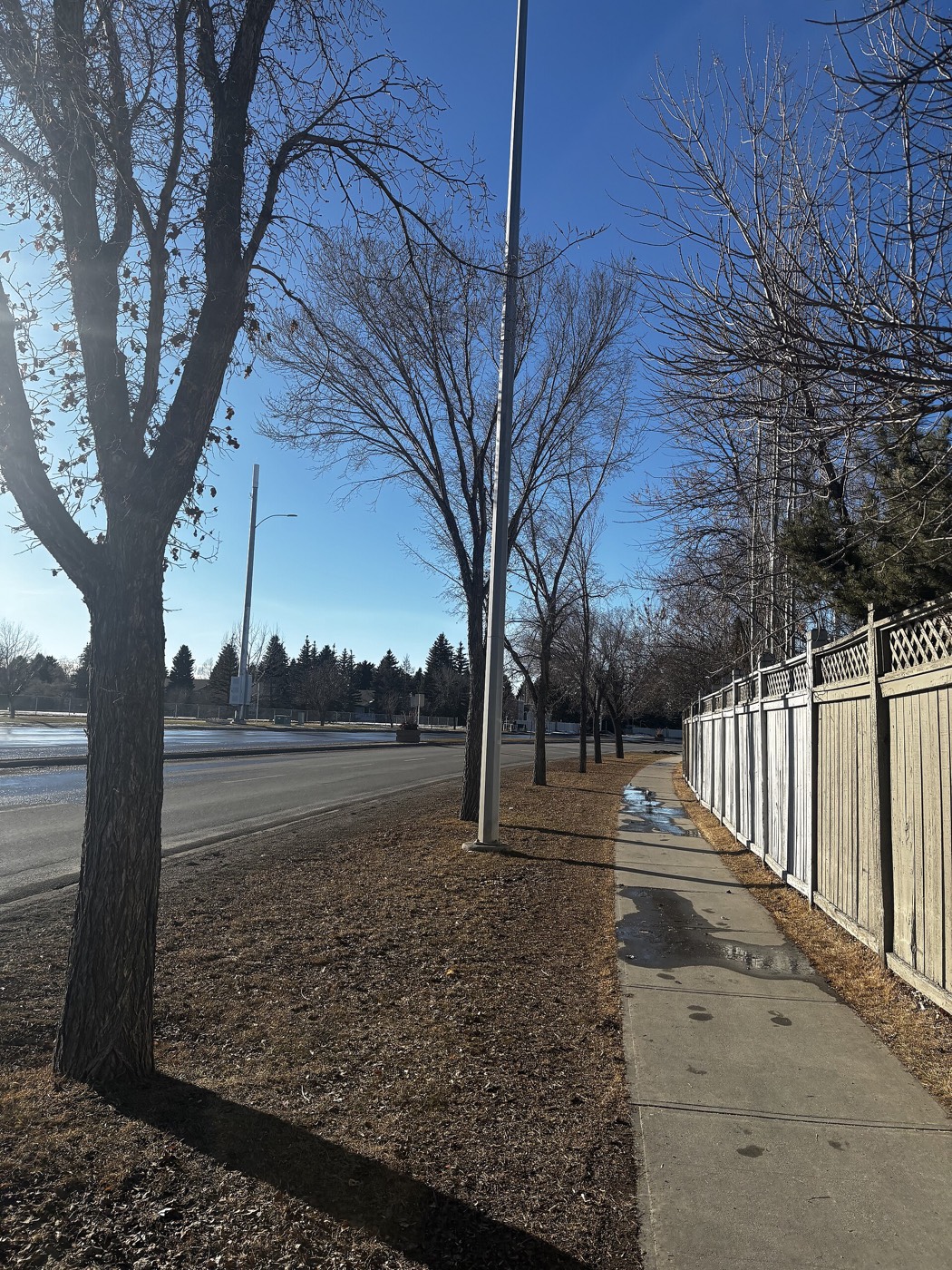
Honesty note. This page uses only the general Calgary, seasonal, Alberta-wildlife and day-trip photography from the site's shared library. Nothing here is presented as a photograph of Discovery Ridge itself.