
Live in Deer Ridge
A 1978 community on Calgary's southeastern escarpment, with Fish Creek Provincial Park as its eastern boundary and Bow Bottom Trail as its western one.
Deer Ridge's land was annexed to Calgary in 1961, but the community itself was not built out until 1978. It sits on the escarpment above the Bow River, with Fish Creek Provincial Park — one of the largest urban parks in North America — immediately to the east, and the community of Deer Run immediately south. It is almost entirely low-rise, single-family housing from one decade of build-out, and the population has been declining slowly for years as the community ages in place with no new land to add. This is what living here is actually like.
An escarpment address, with a provincial park for a neighbour
Bounded north by Canyon Meadows Drive, east by Deercliff Road and the Bow River, south by Deerfield Circle and the community of Deer Run, and west by Bow Bottom Trail. Ward 14.
Deer Ridge's land was annexed to Calgary in 1961, part of one of the largest annexations in the city's history, but the community itself did not take shape until 1978, when builders including Qualico, Kelwood and Westco carried out the main build-out.
Its defining boundary is natural rather than a highway: Fish Creek Provincial Park sits immediately east, with the Bow River forming part of the eastern edge. Canyon Meadows Drive is the northern boundary, Bow Bottom Trail the western one, and the neighbouring community of Deer Run the southern one.
Housing mix. This is low-rise, single-family housing built almost entirely in one decade: around 10.5% of buildings are condominiums or apartments, with 36% rental. Median household income was recorded at $59,149, with 17.1% low income — the most recent civic figures published for the community.
Who lives here, and how that's changing. Population stood at 4,344 in 2006 and has since declined to 3,795 at the 2021 federal census, against 1,501 dwellings at the 2012 count — an aging, fully built-out community with essentially no new land to add.

- Homes are around fifty years old — original roofs, windows, furnaces and electrical panels are at or past design life
- Population has been declining for over a decade as the community ages in place
- Only one school sits inside the boundaries; Wilma Hansen and Deer Run School are both in neighbouring communities
- No CTrain station inside the community — Canyon Meadows Station is a drive, not a walk
- Fish Creek Provincial Park is the standout amenity here — protected, permanent and immediately at the doorstep
- Getting to the mountains means crossing most of the city first — budget well over an hour to Kananaskis
How Deer Ridge got here
- 1961Deer Ridge's land is annexed to Calgary in one of the largest annexations in the city's history, stretching from Anderson Road south to roughly 162 Avenue.
- 1973Premier Peter Lougheed establishes Fish Creek Provincial Park, a 2,800-acre park costing $15 million, immediately east of what becomes Deer Ridge.
- 1978Residential development begins in earnest, led by builders including Qualico, Kelwood and Westco, and the community is established.
- 1980The Deer Ridge Community Association holds its first meeting on 7 May and registers as a provincial society on 27 May, with Bob Mondy as inaugural president.
- 1983Don Bosco School, Wilma Hansen Junior High and Deer Run School all open, completing the community's local schooling options.
- 2012Civic census counts 4,084 residents in 1,501 dwellings.
- 2021Federal census records 3,795 residents — a built-out, aging community with essentially no new land left to add.
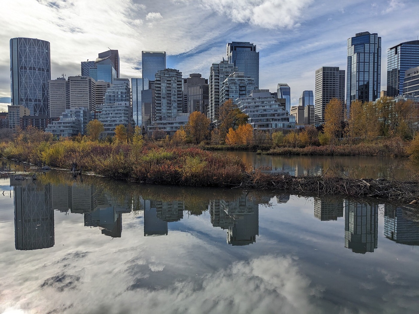

Fish Creek Provincial Park at the doorstep
Fish Creek Provincial Park — 2,800 acres established by Premier Peter Lougheed in 1973, and one of the largest urban parks in North America — runs along the community's entire eastern edge. Inside the boundaries, Deer Ridge Park adds two outdoor ice rinks, two tennis courts, pickleball courts and four playgrounds, all run by the community association.




The resident's angle: this is the genuine trade for an aging, built-out community with no room to grow — a protected provincial park at the doorstep that no amount of new development elsewhere in the city can replicate. Deer, coyotes and waterfowl are routine sightings, not novelties.
20 places, with real drive times
Road-adjusted distance and drive time from the centre of the community to each destination, nearest first. Filter by category.
Showing 1–12 of 20 places, nearest first.
Method: distances and drive times are estimated from the centre of the community to each destination using Calgary's road grid, and are rounded to honest ranges rather than presented as precise figures. Fish Creek Park and the community's own facilities are unusually close; the mountains, by contrast, mean crossing most of the city first.
Every gym within reach
The nearest anchor facility is a short drive north on Bonaventure Drive, with a larger civic leisure centre further west and free options both inside the community and next door in the park.
- Southland Leisure Centre is the quadrant's larger civic option, with a wave pool, two ice rinks and a climbing wall
- The community's own outdoor rinks, tennis and pickleball courts are free and inside the boundaries
- Fish Creek Provincial Park's pathways are the free cardio option, right at the eastern edge
- Avenida Place on Macleod Trail has the closest cluster of private studios and chain clubs
| Facility | What it is | Drive |
|---|---|---|
| Trico Centre for Family Wellness open | Beach-entry pool with waves and a hot tub, fitness centre, gymnasium and arena and skating programs, on Bonaventure Drive. | 5–8 min |
| Southland Leisure Centre open | Wave pool, two ice rinks, weight room, climbing wall, hot tub, steam room and a dive tank — one of the city's two dedicated leisure centres. | 12–16 min |
| Deer Ridge community rinks & courts open | Free option: two outdoor ice rinks, two tennis courts, pickleball courts and four playgrounds inside the community, run by the community association. | 1–3 min |
| Fish Creek Provincial Park pathways open | Free option: paved and natural-surface trails through one of the largest urban parks in North America, immediately east. | 1–3 min |
| Avenida Place fitness clubs open | Private studios and chain clubs in the Avenida Place retail district on Macleod Trail — the closest paid gym cluster to the community. | 6–9 min |
The free options are genuinely good here. Between the community's own rinks and courts and Fish Creek Park's pathways, a paid membership is optional rather than necessary for most of the year.
One school inside the boundaries, and two more next door
Don Bosco School serves the community for Catholic K–9 education inside the boundaries. Public students attend Deer Run School (K–6) in neighbouring Deer Run and Wilma Hansen School (grades 5–9) in neighbouring Queensland — both a short drive rather than a walk.
| School | Board | Note |
|---|---|---|
| Don Bosco School | Calgary Catholic | Catholic K–9 school inside the community, on Deer Ridge Drive. |
| Deer Run School | Calgary Board of Education | Public K–6 school in neighbouring Deer Run — the designated elementary for much of the community. |
| Wilma Hansen School | Calgary Board of Education | Public school for grades 5–9, in neighbouring Queensland. |
| Senior high designations | Both boards | Lord Beaverbrook (public) and Bishop O'Byrne (Catholic) both serve nearby southeast communities, but designations shift with enrolment — confirm the current one for a specific address with the board before you buy. |
Alberta funds Catholic education the same way it funds public education, so there is no tuition for a resident student at either board. Confirm the current senior high designation for a specific address with the board before you buy — southeast designations have shifted before as enrolment has moved across the quadrant.
Month by month, what living here looks like
Not a highlights reel — the actual annual rhythm, including the dates residents have to remember.
- Fish Creek's groomed trails draw cross-country skiers through the cold snaps
- The community's two outdoor rinks run for shinny and pleasure skating
- Bow Bottom Trail and Canyon Meadows Drive are priority routes, so access holds up
- Chinooks strip snow off the escarpment first, and the valley floor last
- Deer and coyotes are easiest to spot in Fish Creek Park against bare snow
- Trico Centre's pool is the warmest indoor option through the coldest weeks
- Family Day long weekend brings the community rinks their busiest crowds
- Days lengthen fast by month's end
- Melt and refreeze on the escarpment paths through Fish Creek Park
- Ice comes off the community's outdoor rinks
- Mule deer move down off the ridge as the snow retreats
- Spring break fills Trico Centre's drop-in programs
- Fish Creek's south-facing pathways dry out first
- Last hard frosts, though planting waits until the long weekend
- Migratory waterfowl return to the Bow River stretch east of the community
- Deer Valley Market Place's patio season starts
- Tennis and pickleball courts reopen at the community's own courts
- Long evenings, sunset past 9pm by month's end
- Fish Creek Park's cottonwoods leaf out along the Bow River
- Community league sport seasons begin
- Peak daylight at the solstice, over 16 hours
- Fish Creek Park at its greenest, with the creek running high
- School year ends at Don Bosco, Deer Run and Wilma Hansen
- Thunderstorm season fully under way
- Calgary Stampede, ten days, about twenty minutes north on Macleod Trail
- Fish Creek Park's trails at their busiest, cyclists and walkers sharing the paths
- Evening thunderstorms roll in off the foothills
- Warmest month, with the escarpment holding heat late into the evening
- Fish Creek Park's interpretive programs run through the month
- Quietest weeks before school returns
- Deer are often seen browsing at dawn and dusk along the park's edge
- Harvest traffic builds on Macleod Trail south of the city
- School year restarts at Don Bosco, Deer Run and Wilma Hansen
- First frost typically arrives late in the month
- Fish Creek Park's aspens and cottonwoods turn along the Bow River
- Avenida Place is busiest with back-to-school shopping
- First snow is normal, and normally melts
- Snow tires go on
- Deer move through the community's green spaces more visibly as cover thins
- Shorter evenings noticeable by mid-month
- Dark by 5pm
- Trico Centre's indoor programs fill up for the season
- Community rink crews start building ice
- Freeze sets in along the Bow River east of the community
- The community's outdoor rinks open for the season
- Holiday quiet across the escarpment
- Chinooks, when they arrive, clear the ridge before the valley
- Fish Creek Park's trails draw snowshoers and cross-country skiers
36 photographs of the community and its surroundings
All freely licensed and served from this app — nothing loads from a third party. Filter by category.





Showing 1–12 of 36 photographs.
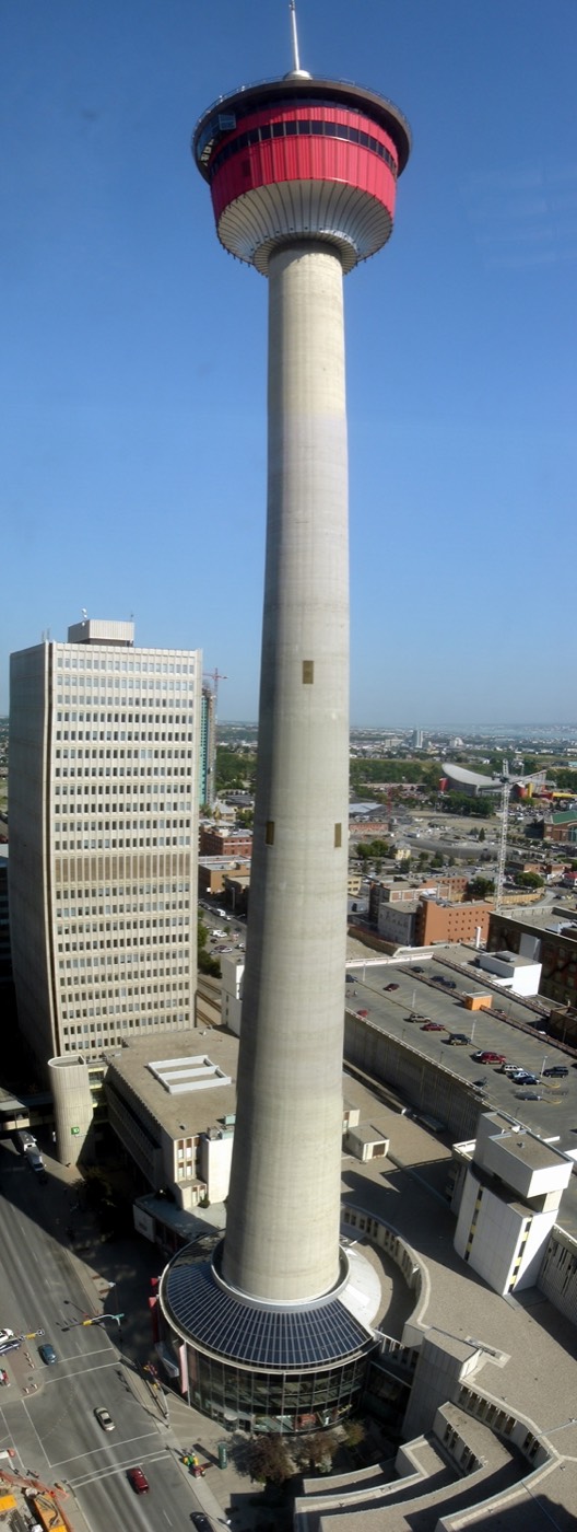
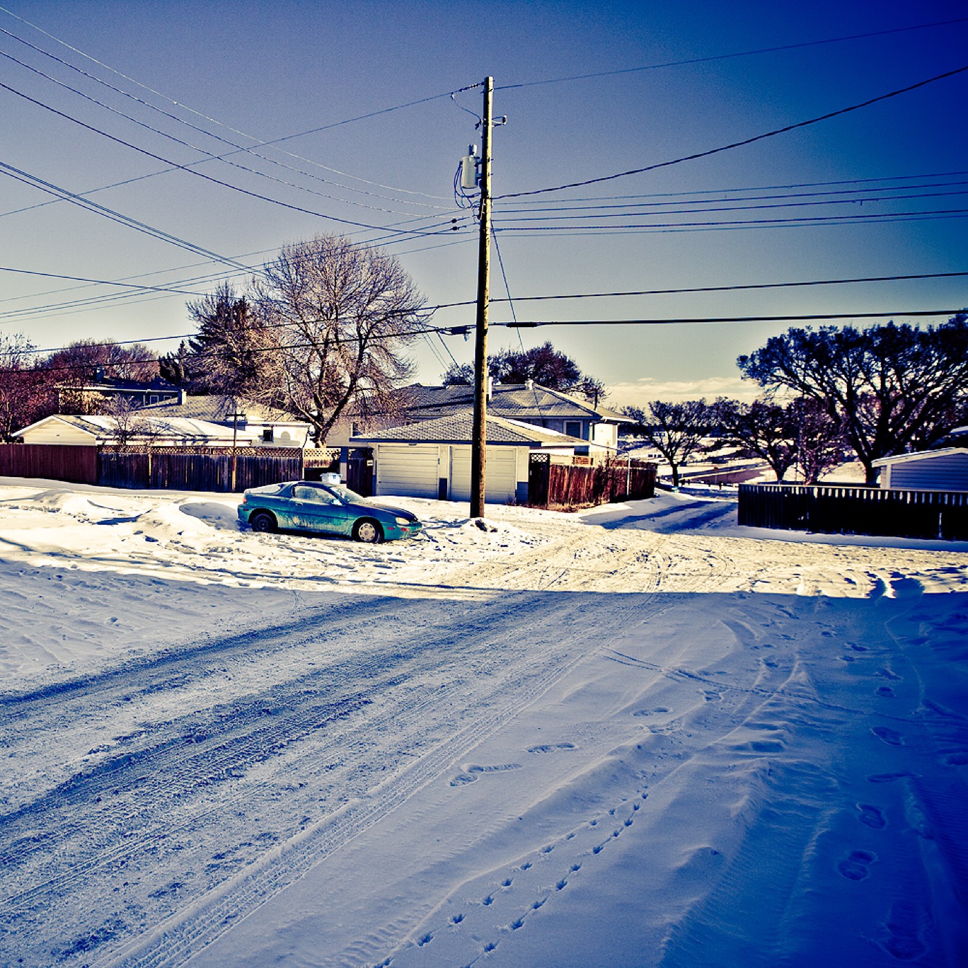
Honesty note. This page uses the general Calgary, seasonal, Alberta-wildlife and day-trip photography from the site's shared library, plus images taken in Fish Creek Provincial Park itself — the park that forms this community's actual eastern boundary. Nothing here is presented as a photograph of Deer Ridge's own streets or homes.