
Live in Queensland
A 1973 southeast community wedged between the Bow River and Fish Creek Provincial Park, immediately south of Diamond Cove.
Queensland's land was annexed by the City of Calgary in 1961 and developed through 1973–1975, with a small pocket in the southeast corner finished in the early 1980s. It was originally named Queensland Downs and renamed Queensland at an unrecorded date — there is no evidence the two names ever described two separate sub-areas; it is one community that changed its name once. At the city's 2019 civic census it held 4,743 residents in 1,905 dwellings across 1.6 km², bounded by the Bow River and Fish Creek Provincial Park to the east and Bow Bottom Trail to the west. This is what living here is actually like.
Wedged between the Bow River and Fish Creek Park
Bordered north by the community of Diamond Cove, east by the Bow River and Fish Creek Provincial Park, south by Canyon Meadows Drive, and west by Bow Bottom Trail. Ward 14.
Queensland's land was annexed by the City of Calgary in 1961 and sat undeveloped for over a decade before construction began in 1973. It was built out through 1973–1975, with one small section in the southeast corner finished in the early 1980s.
The community's original name was Queensland Downs. It was renamed Queensland at an unrecorded date, and — worth saying plainly — there is no evidence the two names ever described two separate places; it is one community that changed its name once.
Its boundaries are almost entirely natural and civic rather than arbitrary: the community of Diamond Cove to the north, the Bow River and Fish Creek Provincial Park to the east, Canyon Meadows Drive to the south, and Bow Bottom Trail to the west.
Housing mix. At the city's 2019 civic census Queensland held 4,743 residents in 1,905 dwellings across 1.6 km² — barely changed from the 4,771 residents counted in 2012, the signature of a fully built-out, mature community. Single-family homes make up the large majority of the stock, with townhouses and duplexes filling in the rest and apartments a small minority.
Income. Median household income was recorded at $60,175 in 2000, with 13.2% low income and 15.4% rental — figures now a quarter-century old, and worth confirming against current listings rather than relied on directly.

- Homes are approaching fifty years old — original roofs, windows, furnaces and electrical panels are at or past design life
- Confirm income and rental figures directly — the last published breakdown dates to 2000
- The eastern boundary is Fish Creek Provincial Park and the Bow River — genuine river-valley access, but also flood-plain proximity worth checking on a specific address
- No CTrain station sits inside the community; Canyon Meadows and Anderson stations are both a drive away
- Southcentre Mall is the nearest full retail centre, not inside walking distance
- Getting to the mountains means crossing the whole city — budget well over an hour to Kananaskis
How Queensland got here
- 1961The land is annexed by the City of Calgary.
- 1973Development begins under the name Queensland Downs; the community is renamed Queensland at an unrecorded later date — the two names describe the same place, not two separate sub-areas.
- 1973–1975Most of the community is built out.
- Early 1980sThe final section, in the southeast corner, is completed.
- 2000Median household income recorded at $60,175, with 13.2% low income, 15.4% rental and 2.4% of buildings condominium or apartment.
- 2012Civic census counts 4,771 residents in 1,894 dwellings.
- 2019Civic census counts 4,743 residents in 1,905 dwellings — essentially unchanged from 2012, the signature of a fully built-out, mature community.

Fish Creek Provincial Park at the back gate
Fish Creek Provincial Park — 13.5 km² and 100+ km of trails — forms almost the entire eastern boundary, with the Bow River running along the same edge where the creek meets it. Sikome Lake, the park's public swimming lake, is a short drive around the valley and open from late June to early September.




The resident's angle: this is one of the closer river-valley addresses on this site — the park is a boundary, not a destination you drive to. The trade-off is the flood-plain proximity that comes with it; check flood mapping for a specific address before you buy.
22 places, with real drive times
Road-adjusted distance and drive time from the centre of the community to each destination, nearest first. Filter by category.
Showing 1–12 of 22 places, nearest first.
Method: distances and drive times are estimated from the centre of the community to each destination using Calgary's road grid, and are rounded to honest ranges rather than presented as precise figures. Fish Creek Park and the Bow River sit right at the boundary; reaching Deerfoot Trail or the airport means routing around the park, which pushes those figures higher than the straight-line distance would suggest.
Every gym within reach
Queensland has no gym of its own. The nearest full facility is a five-minute-plus drive, and Fish Creek Park's trail network is the genuine free alternative, starting right at the community's edge.
- GoodLife Fitness at Southcentre Mall is the nearest commercial chain club, ten to fourteen minutes away
- Cardel Rec South and the YMCA at South Fish Creek both sit well south in Shawnessy, a fifteen-minute-plus drive
- Fish Creek Provincial Park's 100+ km of trails are free and start at the community's own boundary
- Sikome Lake, inside the park, is the summer alternative to a pool membership
| Facility | What it is | Drive |
|---|---|---|
| Trico Centre for Family Wellness open | Pool, arena, fitness floor and gymnasium under one membership. | 8–11 min |
| Fish Creek Provincial Park trails open | Free option: 100+ km of trails start right at the community's eastern edge. | 1–2 min |
| GoodLife Fitness — Southcentre open | National chain club at Southcentre Mall. | 10–14 min |
| Cardel Rec South open | Community-based recreation facility in Shawnessy, well south along Macleod Trail. | 14–18 min |
| YMCA at South Fish Creek open | Full YMCA — pool, gymnasium and fitness classes — in Shawnessy. | 15–19 min |
Check current hours and membership terms before you plan around any of these — Trico Centre and the YMCA both run separate resident and non-resident rate structures.
Two schools inside the community, and the Catholic designation is elsewhere
Haultain Memorial School serves Queensland for public elementary (K–6) and Wilma Hansen School carries the junior high years — both sit on Queensland Drive, inside the boundaries. Neither board has a Catholic school inside the community.
| School | Board | Note |
|---|---|---|
| Haultain Memorial School | Calgary Board of Education | Public K–6 elementary inside the community, on Queensland Drive. |
| Wilma Hansen School | Calgary Board of Education | Public junior high inside the community, also on Queensland Drive. |
| Catholic designation | Both boards | No Catholic school sits inside Queensland's boundaries. Confirm the current designated Catholic elementary and junior high for a specific address with the Calgary Catholic School District before you buy. |
| Calgary Catholic School District | Calgary Catholic | Alberta funds Catholic education the same way it funds public education, so there is no tuition for a resident student at either board. |
Alberta funds Catholic education the same way it funds public education, so there is no tuition for a resident student at either board. Confirm the current designated Catholic elementary and junior high for a specific address with the Calgary Catholic School District before you buy.
Month by month, what living here looks like
Not a highlights reel — the actual annual rhythm, including the dates residents have to remember.
- Fish Creek's packed-snow trails stay walkable right along the community's own boundary
- Canyon Meadows Drive and Bow Bottom Trail are both priority-plowed routes
- Trico Centre's pool and arena carry the indoor season
- Deer move down from the park into yards backing onto the river valley
- A chinook can clear the plowed banks at Deer Valley Market Place within a day
- Coldest stretches usually break before the month is out
- Bow River ice draws the occasional ice angler near the park's east edge
- Family Day fills Trico Centre and the community rinks
- Melt and refreeze on Queensland Drive and the community's side streets
- Fish Creek's paved spine reopens to cyclists ahead of the unpaved trails
- Spring break sends families to Southcentre and Trico Centre
- First bare ground appears on the slopes toward the river
- Migratory geese and ducks stage along the Bow River and Fish Creek confluence
- Last hard frosts hold off planting until the long weekend
- Haultain Memorial and Wilma Hansen's fields dry out for the season
- Deer Valley Market Place gets busy as the Co-op restocks for spring
- Long evenings — sunset past 9pm by month end
- Fish Creek's cottonwoods and aspens leaf out along the valley
- Community league and school sport seasons start
- Hail season begins in earnest across the southeast
- Sikome Lake opens for the season inside Fish Creek Park
- Peak daylight at the solstice — over 16 hours
- School year ends at both community schools
- Thunderstorm season is fully under way
- Calgary Stampede, about 20 minutes north on Macleod Trail
- Sikome Lake at its busiest on hot weekends
- Evening thunderstorms roll in off the foothills to the west
- Fish Creek's shaded trails are the community's default cool-off route
- Sikome Lake stays open through the first week of September in most years
- Quietest weeks before school returns
- Coyotes and deer are most active at dawn and dusk along the park's edge
- Harvest traffic builds on Macleod Trail south of the city
- School year restarts at Haultain Memorial and Wilma Hansen
- Sikome Lake closes for the season in the first week
- Fish Creek's aspens begin to turn along the valley
- First frost typically arrives late in the month
- Peak colour in Fish Creek Park, right along the community's own boundary
- Snow tires go on before the first real snowfall
- First snow is normal, and normally melts within days
- Shorter evenings noticeable by mid-month
- Dark by 5pm
- Indoor recreation season restarts at Trico Centre
- The Bow River begins to freeze along the park's edge
- Holiday retail season begins at Southcentre and Deer Valley Market Place
- Fish Creek's trails stay open on packed snow through the holidays
- Chinooks, when they come, can strip the snow overnight
- Holiday quiet across the community
- Bow River ice typically holds by month's end
36 photographs of the community and its surroundings
All freely licensed and served from this app — nothing loads from a third party. Filter by category.





Showing 1–12 of 36 photographs.
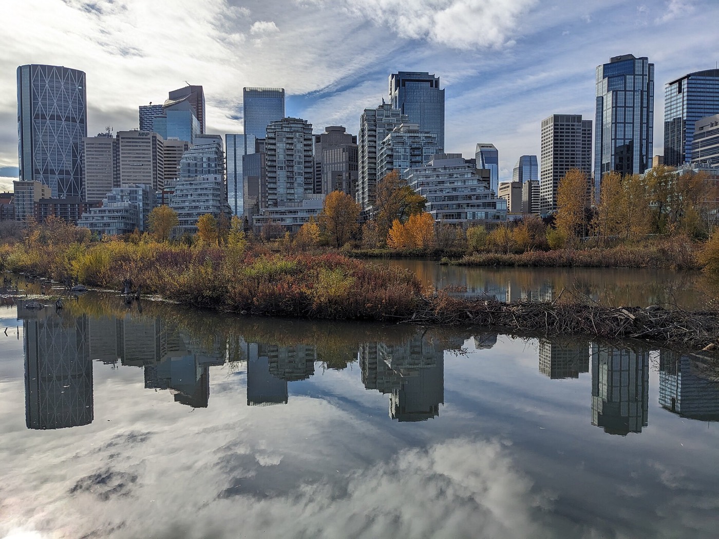
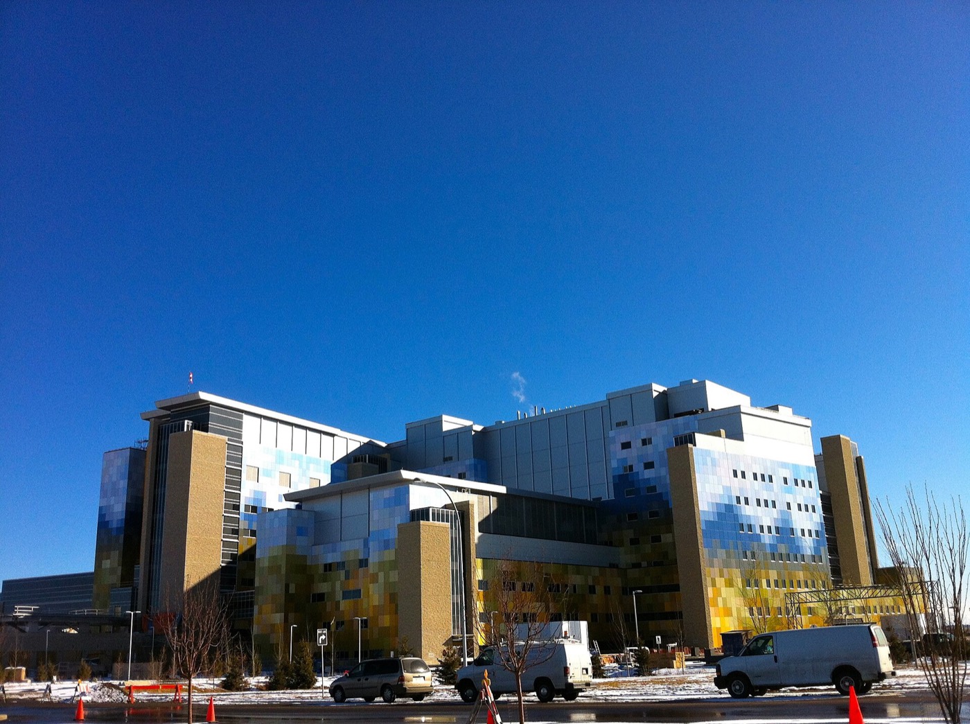
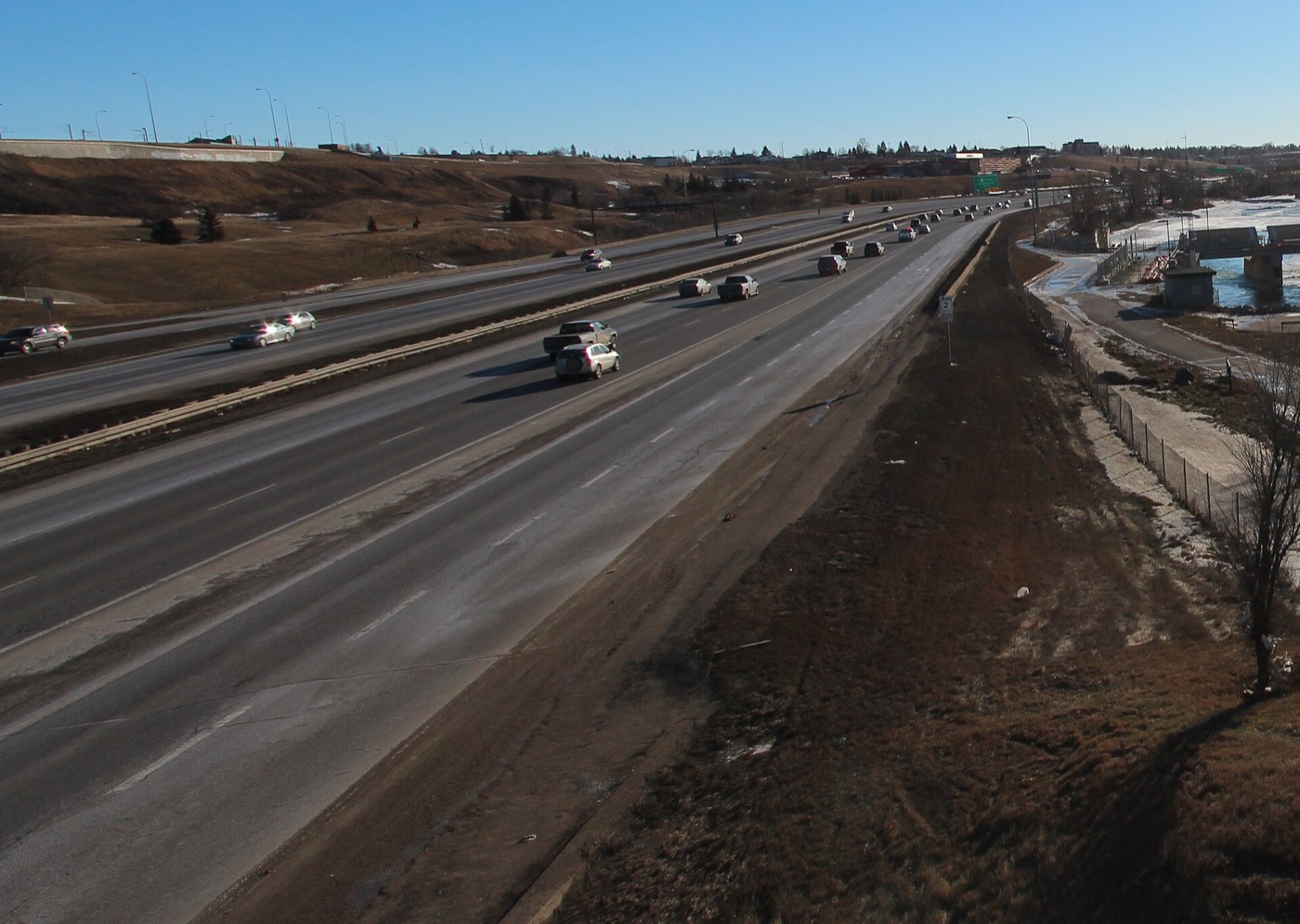
Honesty note. This page uses only the general Calgary, Fish Creek, seasonal and Alberta-wildlife photography from the site's shared library. The Fish Creek and Bow River images are genuinely of the park that forms this community's own eastern boundary, not borrowed scenery from a different part of the city — but nothing here is presented as a photograph of Queensland itself.