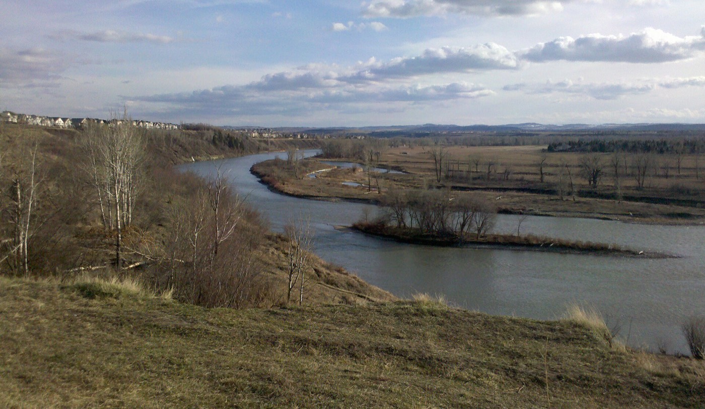
Live in Diamond Cove
One of Calgary's smallest communities — a single-entrance estate enclave of cul-de-sacs on the escarpment above Fish Creek Provincial Park and the Bow River.
Diamond Cove was carved off the northern edge of Queensland, with construction starting in 1989 and the community established in its own right in 1991. It covers just 0.44 km², reached by a single vehicle entrance off Bow Bottom Trail, and the 2021 federal census counted 625 residents — more than a third of them 65 or older. This is what living here is actually like.
One entrance, one escarpment, and about six hundred people
Bounded north by Anderson Road and Deerfoot Trail, east by the Bow River, south by Queensland, and west by Bow Bottom Trail, with a single vehicle entrance off Bow Bottom Trail. Ward 14.
Diamond Cove was carved off the northern edge of Queensland, with construction starting in 1989 and the community established in its own right in 1991. It sits on the escarpment above the Bow River, and it is one of Calgary's smallest communities by almost any measure.
Layout. The whole community covers just 0.44 km², built as curvilinear cul-de-sac streets of estate-scale detached homes, reached by a single vehicle entrance off Bow Bottom Trail. There is no through traffic, because there is nowhere for it to go.
Who lives here. Median household income was $120,196 at the 2000 count, with low income at just 3.3% — among the highest-income, lowest-density communities on this site. Calgary's civic census recorded 699 residents in 271 dwellings in 2012, its last count before the program was discontinued; the 2021 federal census recorded 625 residents, more than a third of them 65 or older.
Services. There is no commercial strip inside the boundary — daily needs mean a short drive to Southland Crossing or Southcentre Mall, both a few minutes away on Macleod Trail. What the community has instead is Fish Creek Provincial Park and the Bow River, both effectively at the doorstep.

- A single vehicle entrance off Bow Bottom Trail serves the entire community — check emergency access and traffic patterns before you buy
- Homes here are largely 1990s estate builds; have original roofs, furnaces and mechanicals inspected at their age
- No grocery store, no CTrain station and no commercial strip inside the community — daily errands mean a drive
- The escarpment means real elevation change on the walk down into Fish Creek Park
- No Catholic school sits inside or directly adjacent — confirm the CCSD designation for a specific address
- Calgary discontinued its civic census after 2012, so the most recent full population count blends a 2012 civic figure and 2021 federal census data
How Diamond Cove got here
- 1961The land that becomes Diamond Cove is annexed by the City of Calgary, along with the rest of what will become Queensland.
- 1989Construction begins on an estate-style enclave carved out of Queensland's northern edge, on the escarpment above the Bow River.
- 1991Diamond Cove is established as its own community — curvilinear cul-de-sac streets served by a single entrance off Bow Bottom Trail.
- 2000Census figures record a median household income of $120,196, among the highest of any community in the city, with low income at just 3.3%.
- 2012Calgary's civic census counts 699 residents in 271 dwellings, one of the last years the city ran an annual civic count.
- 2021Federal census counts 625 residents, more than a third of them aged 65 or older — one of the oldest population profiles of any community on this site.



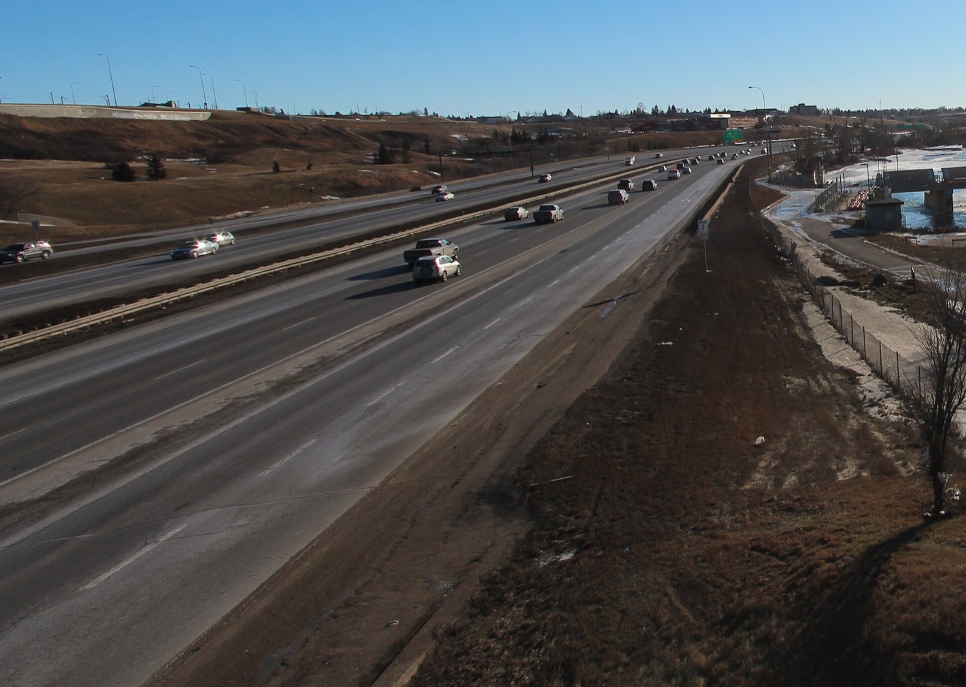
Fish Creek Provincial Park and the Bow River, right off the escarpment
Fish Creek Provincial Park — one of North America's largest urban parks — sits directly below the escarpment, reached by a connector trail rather than a road. The Bow River forms the community's entire eastern boundary, and it stays largely open through winter, drawing one of the area's larger overwintering flocks of geese and mallards.





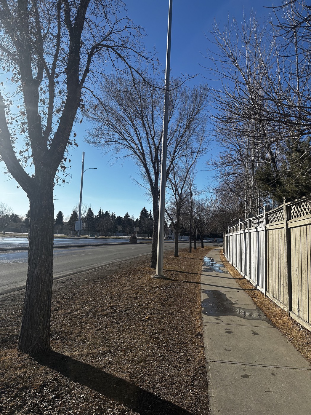
The resident's angle: this is genuine park-and-river access, not a marketing description — but it is on foot via a steep trail, not a driveway. Sikome Lake, the park's seasonal swimming area, is a short drive south rather than a walk. There is no private lake or beach here; the open space is entirely civic and provincial.
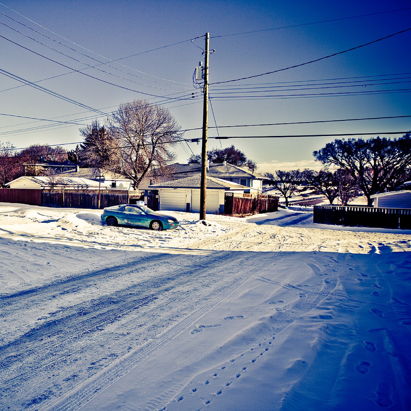
18 places, with real drive times
Road-adjusted distance and drive time from the centre of the community to each destination, nearest first. Filter by category.
Showing 1–12 of 18 places, nearest first.
Method: distances and drive times are estimated from the centre of the community to each destination using Calgary's road grid, and are rounded to honest ranges rather than presented as precise figures. The list is lopsided by design: the park, the river and the community's own schools in neighbouring Queensland are all within a couple of minutes, and almost everything else — grocery, transit, hospital, downtown — is a genuine drive from a community this small.
Every gym within reach
Diamond Cove has no fitness facility of its own beyond the shared community rink. The nearest full civic complex and the nearest chain gyms are both a short drive out via Anderson Road or Macleod Trail.
- The Queensland Diamond Cove Community Rink is a free, seasonal outdoor option covered by the annual QDCCA membership
- Fish Creek Provincial Park's own trail network is the other free option, immediately below the escarpment
- GoodLife Fitness and other chain clubs cluster at Southcentre Mall and along Macleod Trail near Southland Crossing
- There is no gym inside the community itself
| Facility | What it is | Drive |
|---|---|---|
| South Fish Creek Recreation Complex open | City-run pools, arenas, fitness centre and gymnasium space in Shawnessy — the nearest full civic recreation complex. | 12–16 min |
| Queensland Diamond Cove Community Rink open | Seasonal outdoor rink at the shared community hall, covered by the $20 annual QDCCA membership. | 2–4 min |
| Fish Creek Provincial Park pathways open | Free option: over 100 km of paved and unpaved trail immediately below the escarpment, for hiking, biking and cross-country skiing. | 1–3 min |
| GoodLife Fitness — Southcentre open | National chain club at Southcentre Mall. | 9–13 min |
| Southland Crossing fitness studios open | Smaller chain and studio gyms along Macleod Trail near Southland Crossing. | 8–11 min |
Confirm before you count on it. The community rink runs on volunteer effort and weather, not a fixed schedule — check the QDCCA newsletter or website for current ice conditions and hours.
No school inside the boundary — both nearest schools are next door in Queensland
Haultain Memorial School (K–6) and Wilma Hansen School (junior high) both sit just across the boundary in Queensland, and are the schools most families here use. No Catholic school sits inside or directly adjacent to either community.
| School | Board | Note |
|---|---|---|
| Haultain Memorial School | Calgary Board of Education | Public K–6, inside neighbouring Queensland — the nearest elementary school. |
| Wilma Hansen School | Calgary Board of Education | Public junior high, also in Queensland. Confirm the current grade configuration and designation with the board for a specific address. |
| Calgary Catholic School District designation | Calgary Catholic | No Catholic school sits inside or directly adjacent to Diamond Cove or Queensland. Confirm the designated school for a specific address with CCSD's locator before you buy. |
| Mount Royal University | Post-secondary | Nearest post-secondary campus, in the southwest. |
Alberta funds Catholic education the same way it funds public education, so there is no tuition for a resident student at either board. Confirm the current designation for a specific address with the relevant board before you buy — Diamond Cove itself contains no school, so every family here already crosses the boundary for one.
Month by month, what living here looks like
Not a highlights reel — the actual annual rhythm, including the dates residents have to remember.
- The Bow River stays largely open through the community's stretch, holding one of the area's larger overwintering goose flocks
- Queensland Diamond Cove community rink open for skating and shinny
- The connector trail down to Fish Creek Park gets icy — cleats are worth it
- Bow Bottom Trail, the sole road in and out, is kept a priority-plowed route
- Family Day programming at the shared community hall
- Coldest stretch of the year, usually broken by a chinook reaching the escarpment
- Fish Creek's pathways get cross-country ski traffic in a good snow year
- Geese and mallards continue wintering on the open river below
- Melt and refreeze on the escarpment trail
- The community rink closes for the season as the ice softens
- First returning waterfowl join the Bow River's overwintering flock
- Longer evenings bring walkers back to the river pathway
- Fish Creek Provincial Park's trails reopen fully as the snow clears
- QDCCA's spring annual general meeting
- Deer and coyote sightings pick up along the escarpment
- Last hard frost typically clears by month end
- The Bow River pathway fills with cyclists and runners
- The Queensland Diamond Cove Crier newsletter covers the spring events calendar
- Playgrounds and green space across Queensland come back into full use
- Wildflowers appear on the escarpment slopes
- Longest days of the year — over 16 hours of daylight
- Sikome Lake, Fish Creek Park's swimming area, opens a short drive south
- Thunderstorm season gets underway
- School year ends at Haultain Memorial and Wilma Hansen
- Calgary Stampede, about twenty minutes north on Macleod Trail
- Fish Creek Park at its busiest for picnics and paddling
- Warm evenings on the pathway below the escarpment
- Hail season — the river valley gets its share
- Sikome Lake at its warmest
- Spruce Meadows' summer tournaments, a short drive south
- Quiet weeks before the school year restarts
- Osprey and other raptors working the Bow River
- School year restarts at Haultain Memorial and Wilma Hansen
- Aspens turn along the escarpment and the river valley
- Migrating waterfowl stage on the Bow River
- Fish Creek Park's trails at their best before the crowds thin
- First snow is normal on the escarpment
- Community rink prep begins for the season
- Days shorten fast through the month
- Last yard cleanup before freeze-up
- The Bow River's current keeps most of it open even as temperatures drop
- Community rink ice-in, weather permitting
- Winter tires go on before the escarpment road ices up
- Dark by 5pm
- Overwintering geese and mallards crowd the open stretches of the Bow River
- The community rink and Fish Creek's trails carry the outdoor season
- Chinooks arrive late and unevenly this far up the escarpment
- Holiday quiet across a very small community
36 photographs of the community and its surroundings
All freely licensed and served from this app — nothing loads from a third party. Filter by category.




Showing 1–12 of 36 photographs.
Honesty note. This page uses the general Calgary, Fish Creek and Bow River, seasonal, Alberta-wildlife and day-trip photography from the site's shared library. The Fish Creek and Bow River images are included deliberately, because the park and the river are genuinely at this community's edge — unlike the eastern communities on this site, where the same images are excluded. Nothing here is presented as a photograph of Diamond Cove's own private streets.