
Live in Rundle
A 1973 northeast Calgary community built around its own Blue Line CTrain station, next to Sunridge Mall.
Rundle was annexed by the City of Calgary in 1961 and established as a community in 1973, one of four northeast communities — Rundle, Pineridge, Whitehorn and Temple — that make up what planners called "The Properties," each named after a mountain. This one takes its name from Robert Terrill Rundle, a Methodist missionary who worked the western prairies from 1840 to 1858. It is almost entirely low-rise housing, it has four schools inside its own boundaries, and it is one of the few Calgary communities with a CTrain station of its own. This is what living here is actually like.
Built around its own CTrain stop
Bordered north by 32 Avenue NE, east by 52 Street NE, south by 16 Avenue NE (the Trans-Canada Highway), and west by 36 Street NE. Ward 10.
Rundle was annexed by the City of Calgary in 1961 and established as a community in 1973, one of four northeast communities — Rundle, Pineridge, Whitehorn and Temple — that make up what planners called "The Properties," each named after a mountain. This one takes its name from Robert Terrill Rundle, a Methodist missionary who worked the western prairies from 1840 to 1858.
It sits inside a tight rectangle: 32 Avenue NE to the north, 52 Street NE to the east, 16 Avenue NE (the Trans-Canada Highway) to the south, and 36 Street NE to the west — with Sunridge Mall immediately across that western line.
Housing mix. Rundle is almost entirely low-rise: apartments and condominiums make up just 1.1% of buildings. Median household income was $83,000, with 12% low income and 29% rental.
Who lives here. 49% of residents were immigrants at the 2021 count — one of the highest shares on this site — with Filipino, Arab and Lebanese communities especially present. Population has actually eased from a 2012 peak of 11,258 to 10,545 in 3,410 dwellings by 2021, in a community with no new land to build on.
- Homes are around fifty years old — original roofs, windows, furnaces and electrical panels are at or past design life
- Aluminum wiring was common in Alberta construction through this era; have it inspected specifically
- Rundle CTrain Station sits inside the community, which means train noise for the closest blocks
- Airport flight paths are a real consideration across the northeast
- Almost no retail inside the boundaries; Sunridge Mall across 36 Street NE carries the everyday shop
- Population has declined since a 2012 peak — worth asking why before you assume growth
How Rundle got here
- 1961The land is annexed by the City of Calgary.
- 1973Rundle is established as a community, named after missionary Robert Terrill Rundle and grouped with Pineridge, Whitehorn and Temple as "The Properties," each named after a nearby mountain.
- 1985Rundle CTrain Station opens on the Blue Line on April 27, giving the community a direct line downtown.
- 2012Municipal census records a peak population of 11,258 in 3,836 dwellings.
- 2021Federal census counts 10,545 residents in 3,410 dwellings — down from the 2012 peak — with 49% of residents immigrants and 29% of housing rental.
- 2020sSunridge Mall and its surrounding big-box district remain the community's commercial anchor, immediately across 36 Street NE.

Civic parks and playing fields, not a river valley
Rundle has no river valley at its edge. The community's own outdoor rink and playing fields, run by the Rundle Community Association out of its hall on 50 Street NE, cover the everyday case, and Prairie Winds Park — spray park, wading pool and playing fields — is a short drive north. Elliston Park, home of the Globalfest fireworks, sits thirteen to eighteen minutes south.




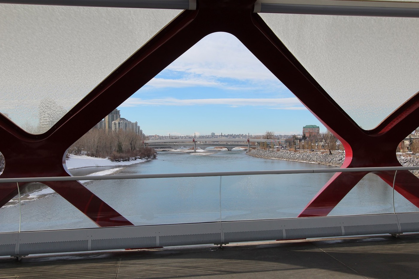
The resident's angle: the genuine advantage here isn't a park at all — it's the Rundle CTrain Station, inside the community's own boundaries. No other community on this site puts a Blue Line stop this close to this many front doors.
20 places, with real drive times
Road-adjusted distance and drive time from the centre of the community to each destination, nearest first. Filter by category.
Showing 1–12 of 20 places, nearest first.
Method: distances and drive times are estimated from the centre of the community to each destination using Calgary's road grid, and are rounded to honest ranges rather than presented as precise figures. Four schools sit inside Rundle's own boundaries, which is unusual for a community this size.
Every gym within reach
The northeast is served by large civic facilities rather than a dense cluster of private clubs, with Village Square Leisure Centre and the Genesis Centre both within a ten-minute drive. Confirm hours before you count on any of them.
- Genesis Centre adds gymnasiums, fitness centre and indoor courts, eight to twelve minutes north
- Max Bell Centre adds twin arenas, twelve to sixteen minutes south along the rail corridor
- GoodLife Fitness near Sunridge Mall is the closest paid option, three to six minutes away
- The Rundle Community Association's outdoor rink is the free option, inside the community itself
| Facility | What it is | Drive |
|---|---|---|
| Rundle Community Association rink open | Free option: the community's own hard-surface outdoor rink, used for skating and rollerblading through the year, plus a hall with a games room and lounge. | 1–3 min |
| GoodLife Fitness — Sunridge open | National chain club in the Sunridge retail district, the closest paid gym to the community. | 3–6 min |
| Village Square Leisure Centre open | Wave pool, arena, fitness space, gymnasium and a library branch under one roof, south in Marlborough Park. | 5–8 min |
| Genesis Centre open | The northeast's anchor recreation facility: gymnasiums, fitness centre, indoor courts and community programming. | 8–12 min |
| Max Bell Centre open | Twin arenas and community recreation space south along the rail corridor. | 12–16 min |
Check the community hall directly. The Rundle Community Association runs a playschool, a youth dance program and an outdoor rink used for both skating and rollerblading — membership terms and hours are set locally, so confirm with the association rather than assuming city rates apply.
Four schools inside the community, plus two designated high schools nearby
Rundle School (CBE) and St. Rupert School (CCSD) both serve kindergarten to grade 6 inside the boundaries, Dr. Gordon Higgins School (CBE) covers junior high, and St. Rose of Lima (CCSD) runs a K–9 French Immersion program — all four sit inside Rundle itself. Senior high means a bus or drive to Lester B. Pearson (public) or Bishop McNally (Catholic).
| School | Board | Note |
|---|---|---|
| Rundle School | Calgary Board of Education | Public K–6, inside the community on Rundlehorn Drive. |
| St. Rupert School | Calgary Catholic | Catholic K–6, inside the community on Rundlehill Drive. |
| Dr. Gordon Higgins School | Calgary Board of Education | Public junior high, inside the community, also on Rundlehill Drive. |
| St. Rose of Lima School | Calgary Catholic | Catholic K–9 French Immersion, inside the community on 50 Street NE. |
| Lester B. Pearson High School | Calgary Board of Education | Designated public senior high serving Rundle. |
| Bishop McNally High School | Calgary Catholic | Catholic senior high serving northeast Calgary. |
Alberta funds Catholic education the same way it funds public education, so there is no tuition for a resident student at either board. Confirm the current designation for a specific address with the board before you buy — northeast catchments have shifted repeatedly as enrolment has moved across the quadrant.
Month by month, what living here looks like
Not a highlights reel — the actual annual rhythm, including the dates residents have to remember.
- Chinooks reach the far northeast last and weakest of anywhere in the city
- The Rundle Community Association's outdoor rink is in full use for skating and rollerblading
- Village Square's pool and arena carry the indoor season
- Rundle Station's open platform is exposed — dress for the wait, not just the ride
- Peter Lougheed Centre's access roads get priority plowing
- Family Day long weekend keeps Genesis Centre and Village Square busy
- Coldest stretches usually break with a chinook by month end
- Indoor recreation at its busiest across the northeast
- Melt and refreeze on side streets around Rundlehorn and Rundlehill Drives
- Spring break fills Genesis Centre and Sunridge Mall
- The outdoor rink closes for the season as the ice softens
- First bare pavement on the community's internal pathways
- Last hard frosts — planting waits until the long weekend
- Migratory geese return to Prairie Winds Park's wetlands
- Sunridge Mall's parking lot maintenance work often resumes
- Rundle School and St. Rupert School hold spring conferences
- Long evenings — sunset past 9pm by month end
- Community league and field sport seasons start on Rundle's playing fields
- Hail season begins — the northeast gets more than its share
- Chestermere Lake reopens for the season, a short drive east
- Peak daylight at the solstice — over 16 hours
- School year ends at Rundle, St. Rupert, St. Rose of Lima and Dr. Gordon Higgins
- Thunderstorm season is fully under way
- Rundle Station settles into its summer Blue Line schedule
- Calgary Stampede — ten days, about 20 minutes southwest on the Blue Line or Deerfoot Trail
- Evening thunderstorms roll in from the west
- Hottest month; the outdoor rink pad is repurposed for basketball and rollerblading
- Sunridge Mall's summer hours draw evening foot traffic
- Globalfest fireworks at Elliston Park, visible from parts of the community
- Quietest weeks before school returns
- Chestermere Lake at its warmest, a short drive east
- Harvest traffic builds on the Trans-Canada east of the city
- School year restarts at all four of the community's own schools
- First frost typically arrives late in the month
- Sunridge Mall busiest with back-to-school shopping
- Aspens and poplars turn along Rundle's internal pathways
- First snow is normal, and normally melts
- Snow tires go on before the first real cold snap
- Outdoor rink prep begins as temperatures drop
- Shorter evenings noticeable by mid-month
- Dark by 5pm
- Indoor recreation season restarts at Village Square and Genesis Centre
- Sunridge Mall's holiday retail season begins
- Freeze sets in on Chestermere Lake, east of the city
- Zoolights at the Calgary Zoo, a short drive southwest
- The outdoor rink usually opens for skating by mid-month
- Holiday quiet across the community
- Chinooks, when they come, arrive late and weak here
36 photographs of the community and its surroundings
All freely licensed and served from this app — nothing loads from a third party. Filter by category.






Showing 1–12 of 36 photographs.
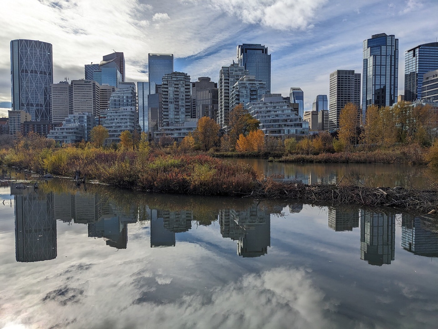
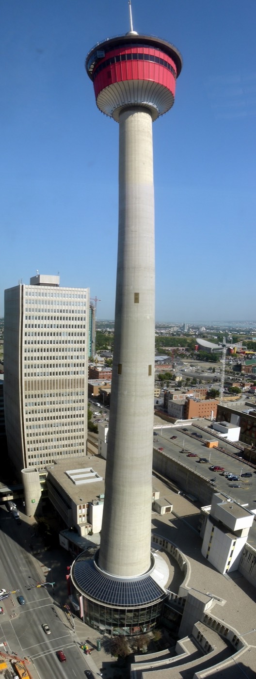
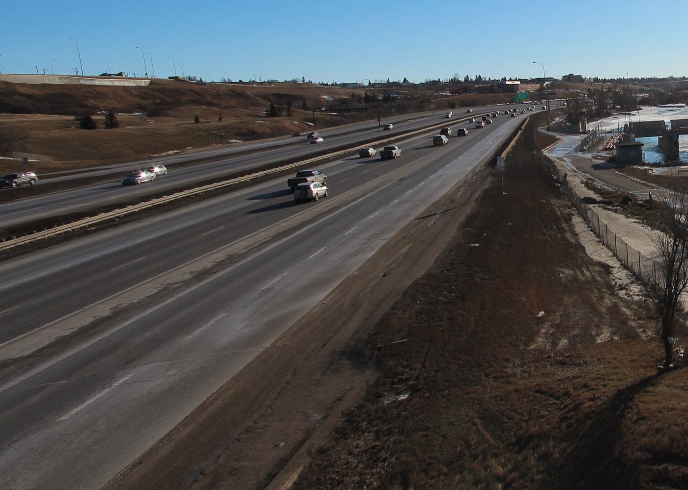
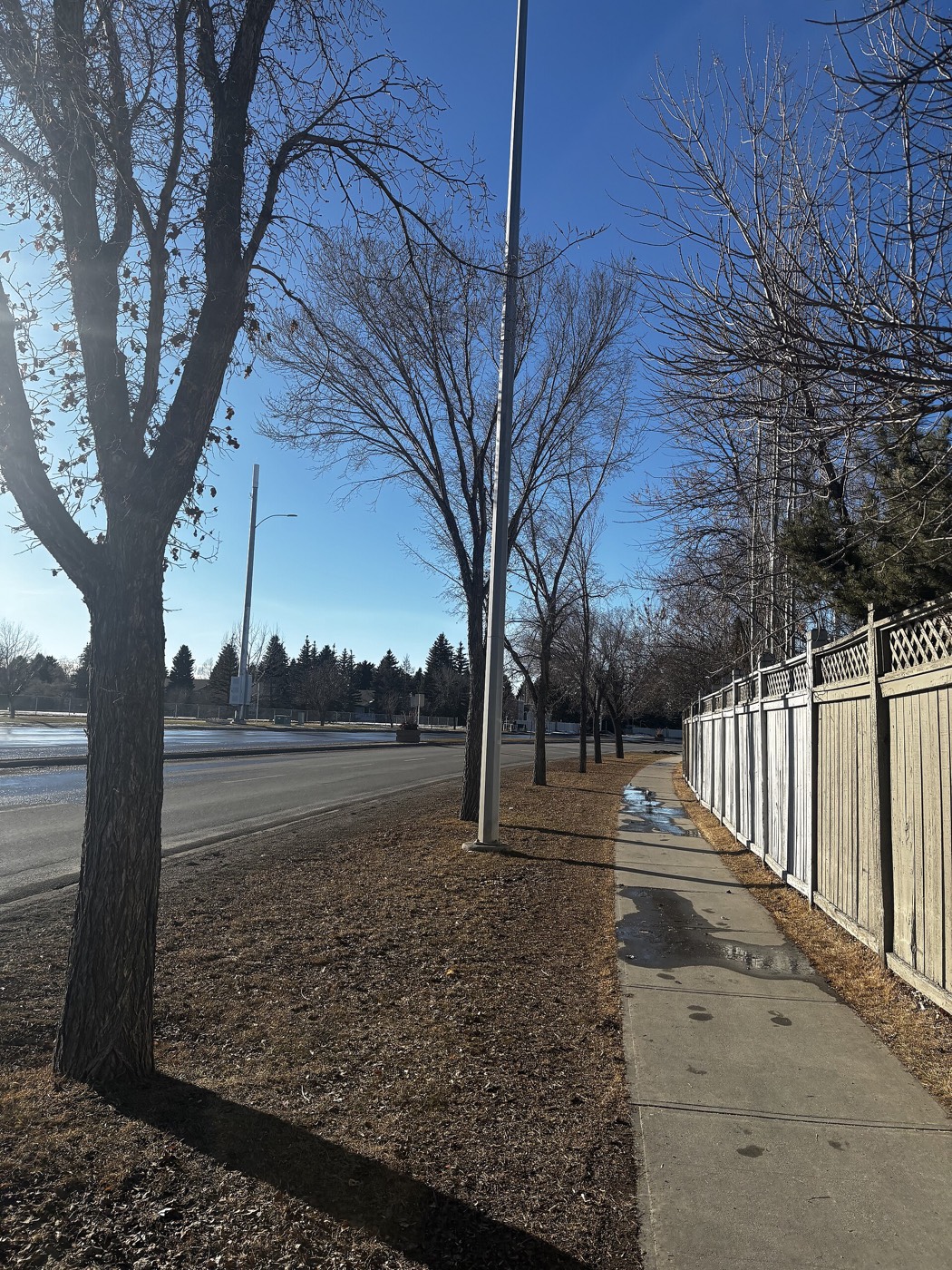
Honesty note. This page uses only the general Calgary, seasonal, Alberta-wildlife and day-trip photography from the site's shared library — the Fish Creek and Midnapore-specific images used on the southeast pages are deliberately excluded, because this community is in the northeast and those are not its surroundings. Nothing here is presented as a photograph of Rundle itself.