
Live in Marlborough
A 1967 northeast community built around its own CTrain station and its own mall, at 36 Street and Memorial Drive.
Marlborough was established in 1967 and named after Marlborough, England. It has been a transit-anchored community since the 1980s: Marlborough Mall opened at its southwest corner in 1971, and Marlborough Station on the Blue Line has served it since 1985 — a combination few Calgary communities can match. It is also one of the more diverse communities in the city, with half of residents recorded as immigrants at the last census. This is what living here is actually like.
Built around a station and a mall, since the 1960s
Bordered north by 16 Avenue NE (the Trans-Canada Highway), east by 52 Street NE, south by Memorial Drive, and west by 36 Street NE. Ward 10.
Marlborough was established in 1967 and named after Marlborough, England — one of the older communities in the northeast, built out well before the ring road existed. It sits close to the geographic centre of that quadrant rather than at its edge, which shapes almost everything else about it.
The boundaries are 16 Avenue NE (the Trans-Canada) to the north, 52 Street NE to the east, Memorial Drive to the south and 36 Street NE to the west. That southwest corner, at 36 Street and Memorial, is where Marlborough Mall and Marlborough Station sit — a shopping centre and a Blue Line CTrain stop both inside the community's own boundaries, which is unusual anywhere in Calgary.
Who lives here. At the 2021 municipal census the community counted 8,910 residents in 3,060 dwellings, with 50% of residents immigrants — one of the higher shares in the city — and 35% renting. Median household income was $80,000, with 11% low income.
Transit and shopping. Marlborough Station has run since 1985, and the mall has anchored the corner since 1971 — Walmart is the current anchor, after Sears closed there in 2017. Between the station, the mall and a standalone Safeway a few blocks over, day-to-day errands rarely require leaving the community.

- Homes are approaching sixty years old — original roofs, windows, furnaces and electrical panels are well past design life
- Aluminum wiring was common in Alberta construction of this era; have it inspected specifically
- The mall and station corner brings genuine convenience, and also more traffic and foot traffic than a quieter suburb
- Airport flight paths are a real consideration across the northeast
- Being central to the quadrant rather than at its edge means less green space immediately at hand than newer communities enjoy
- The mountains are a long haul from here — budget close to two hours to Kananaskis
How Marlborough got here
- 1967Marlborough is established in Calgary's northeast, named after Marlborough, England.
- 1971Marlborough Mall opens in November with roughly 30 stores, anchored by Woolco and Canada Safeway.
- 1985Marlborough Station opens on 27 April as part of the original Northeast Line — today's Blue Line — giving the community direct rail access to downtown.
- 1990sSafeway relocates out of the mall to its own standalone store west of 36 Street.
- 2017Sears closes at the mall in March; Walmart becomes the anchor tenant, and Marlborough Station is rebuilt the same year.
- 2021Municipal census counts 8,910 residents in 3,060 dwellings, with 50% of residents immigrants, 35% renting and 11% low income.
Civic parkland rather than a river valley
Marlborough itself has no river valley or provincial park — its own green space is the community's internal pathway network. The nearby draws are civic: Elliston Park, home of the Globalfest fireworks, twelve to seventeen minutes southeast, and Prairie Winds Park, one of the northeast's big civic parks, thirteen to nineteen minutes north.





The resident's angle: unlike the far-eastern communities, Marlborough is not close to Chestermere Lake — it's eighteen to twenty-five minutes east from here, not the ten-minute run edge communities enjoy. What this address trades for that is centrality: the mall, the CTrain and Deerfoot Trail are all a few minutes away rather than a drive across the quadrant.
22 places, with real drive times
Road-adjusted distance and drive time from the centre of the community to each destination, nearest first. Filter by category.
Showing 1–12 of 22 places, nearest first.
Method: distances and drive times are estimated from the centre of the community to each destination using Calgary's road grid, and are rounded to honest ranges rather than presented as precise figures. Marlborough's own mall, station and schools dominate the near end of this list — that reflects the community's actual layout, not a thin dataset.
Every gym within reach
Marlborough has a private club on its own main street plus the northeast's two large civic facilities within easy reach. Confirm hours before you count on any of them.
- Genesis Centre is the quadrant's larger hub: gymnasiums, fitness centre, indoor courts and programming
- Max Bell Centre adds twin arenas six to ten minutes south of Memorial Drive
- Gold's Gym on 36 Street NE is the closest paid gym, two to five minutes from most of the community
- The community's own pathways are the free option, and Sunridge's chain gyms are a short drive north
| Facility | What it is | Drive |
|---|---|---|
| Village Square Leisure Centre open | Wave pool, twin arenas, fitness space, gymnasium and a library branch under one roof. | 6–11 min |
| Genesis Centre open | The northeast's anchor recreation facility: gymnasiums, fitness centre, indoor courts and programming. | 12–18 min |
| Max Bell Centre open | Twin arenas and community recreation space south of Memorial Drive. | 6–10 min |
| Gold's Gym — Northgate open | Private club on 36 Street NE — the closest paid gym to the community. | 2–5 min |
| Marlborough community pathways open | Free option: the community's internal green space and pathway network, run with the Calgary Marlborough Community Association. | 1–3 min |
| Sunridge-area fitness clubs open | National chain gyms in the Sunridge retail district just across the Trans-Canada. Confirm current hours. | 5–9 min |
Confirm current hours and rates. Chain gym locations and hours in the Sunridge retail district change more often than the civic facilities do — check before you plan a membership around one.
Four schools inside the community, one designated high school outside it
Marlborough School serves public elementary and Chris Akkerman School runs a Traditional Learning Centre program, both kindergarten to grade 5. Bob Edwards School covers junior high with a bilingual program. St. Mark School serves the Catholic side for elementary, feeding into St. Martha School for junior high. Forest Lawn is the designated public senior high, outside the community's boundaries.
| School | Board | Note |
|---|---|---|
| Marlborough School | Calgary Board of Education | Public elementary, kindergarten to grade 5, inside the community. |
| Chris Akkerman School | Calgary Board of Education | Traditional Learning Centre program, kindergarten to grade 5, on Marbank Drive NE. |
| Bob Edwards School | Calgary Board of Education | Public junior high with a bilingual program, on Marlborough Drive NE. |
| St. Mark School | Calgary Catholic | Catholic elementary serving the community; feeds into St. Martha School for junior high. |
| Forest Lawn High School | Calgary Board of Education | Designated public senior high, outside the community boundaries. |
| Calgary Catholic School District | Calgary Catholic | Alberta funds Catholic education the same way it funds public education, so there is no tuition for a resident student at either board. |
Alberta funds Catholic education the same way it funds public education, so there is no tuition for a resident student at either board. Confirm the current designation for a specific address with the board before you buy — northeast designations have been reviewed repeatedly as enrolment has shifted across the quadrant.
Month by month, what living here looks like
Not a highlights reel — the actual annual rhythm, including the dates residents have to remember.
- Chinooks reach the northeast last and weakest of any quadrant
- Marlborough Station and the mall's park-and-ride carry the commute regardless of weather
- Village Square's arenas and pool run at their busiest
- Wind exposure is real on the open blocks near the Trans-Canada
- Family Day long weekend fills Genesis Centre and Village Square
- Coldest stretches usually break with a late chinook here
- Indoor recreation season peaks
- Sunridge and the mall busiest with school-break shoppers
- Melt and refreeze on side streets around the mall and station
- Spring break traffic at Village Square and Genesis Centre
- Community pathways reopen through Marlborough
- First bare pavement by month end
- Last hard frosts — planting waits until the long weekend
- Elliston Park's lake and Max Bell's fields come back into use
- Street sweeping clears the winter gravel
- Migratory birds pass through the northeast's parks
- Long evenings — sunset past 9pm by month end
- Community league and field sport seasons start at Bob Edwards and Marlborough School
- Hail season begins — the northeast gets more than its share
- Chestermere boating season opens, a short drive east
- Peak daylight at the solstice — over 16 hours
- School year ends at Marlborough, Chris Akkerman, St. Mark and Bob Edwards
- Thunderstorm season fully under way
- Sunridge and the mall's outdoor patio spots fill on warm evenings
- Calgary Stampede — ten days, a short ride downtown on the Blue Line
- Elliston Park's Globalfest fireworks begin
- Evening thunderstorms roll in from the west
- Hottest month, with little shade on the community's open blocks
- Globalfest continues at Elliston Park
- Chestermere Lake at its warmest, twenty minutes east
- Quietest weeks before school returns
- Prairie Winds Park's spray park sees its busiest days
- School year restarts at Marlborough School, Chris Akkerman, St. Mark and Bob Edwards
- First frost typically arrives late in the month
- Mall and Sunridge busiest with back-to-school shopping
- Aspens turn along the community's pathways
- First snow is normal, and normally melts
- Snow tires go on
- Chestermere quiets down for the season
- Shorter evenings noticeable by mid-month
- Dark by 5pm
- Indoor recreation season restarts at Village Square and Genesis Centre
- Mall's holiday retail season begins
- Freeze sets in on Chestermere Lake, east of the city
- Zoolights at the Calgary Zoo, west along Memorial Drive
- Holiday quiet across the community once the mall's rush passes
- Chestermere ice starts to hold
- Chinooks, when they come, arrive late and weak here
36 photographs of the community and its surroundings
All freely licensed and served from this app — nothing loads from a third party. Filter by category.





Showing 1–12 of 36 photographs.
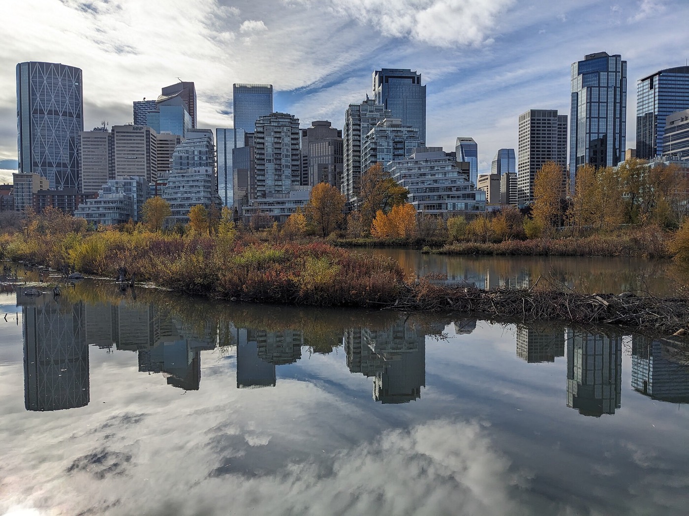
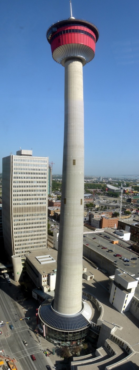
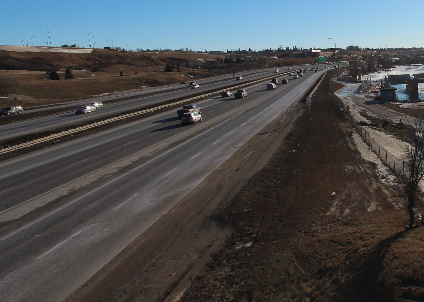
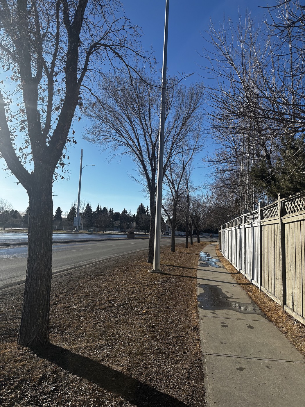
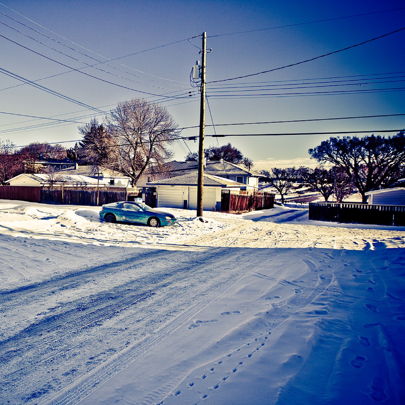
Honesty note. This page uses only the general Calgary, seasonal, Alberta-wildlife and day-trip photography from the site's shared library — the Fish Creek and Midnapore-specific images used on the southeast pages are deliberately excluded, because this community is in the northeast and those are not its surroundings. Nothing here is presented as a photograph of Marlborough itself.