Live in Bridgeland/Riverside
A 1911 inner-city community immediately across the Bow from downtown, anchored by the 1 Avenue NE strip and the Calgary Zoo at its eastern edge.
Riverside began in the 1880s as a Russian-German settlement on the Bow's north bank, incorporated as its own village in 1903, and was annexed by the City of Calgary in 1911. The Bridgeland-Riverside Community Association, founded in 1908, gave the western half its name — after the Dominion Bridge Company's works nearby. At the 2021 census: 6,350 residents in 3,550 dwellings on 3.1 km², with 54% of housing rental. The Bow River forms the southern boundary, Deerfoot Trail the eastern one, and the whole community was evacuated in the June 2013 flood before residents were allowed back on June 22. This is what living here is actually like.
One river crossing from downtown, and older than the city that annexed it
Bounded by the Bow River to the south, Deerfoot Trail to the east, Edmonton Trail to the west, and Renfrew to the north. Ward 9.
Riverside began in the 1880s as a Russian-German settlement on the Bow's north bank, incorporated as its own village in 1903, and was annexed by the City of Calgary in 1911. The Bridgeland-Riverside Community Association, founded in 1908, gave the western half its name — after the Dominion Bridge Company's works nearby.
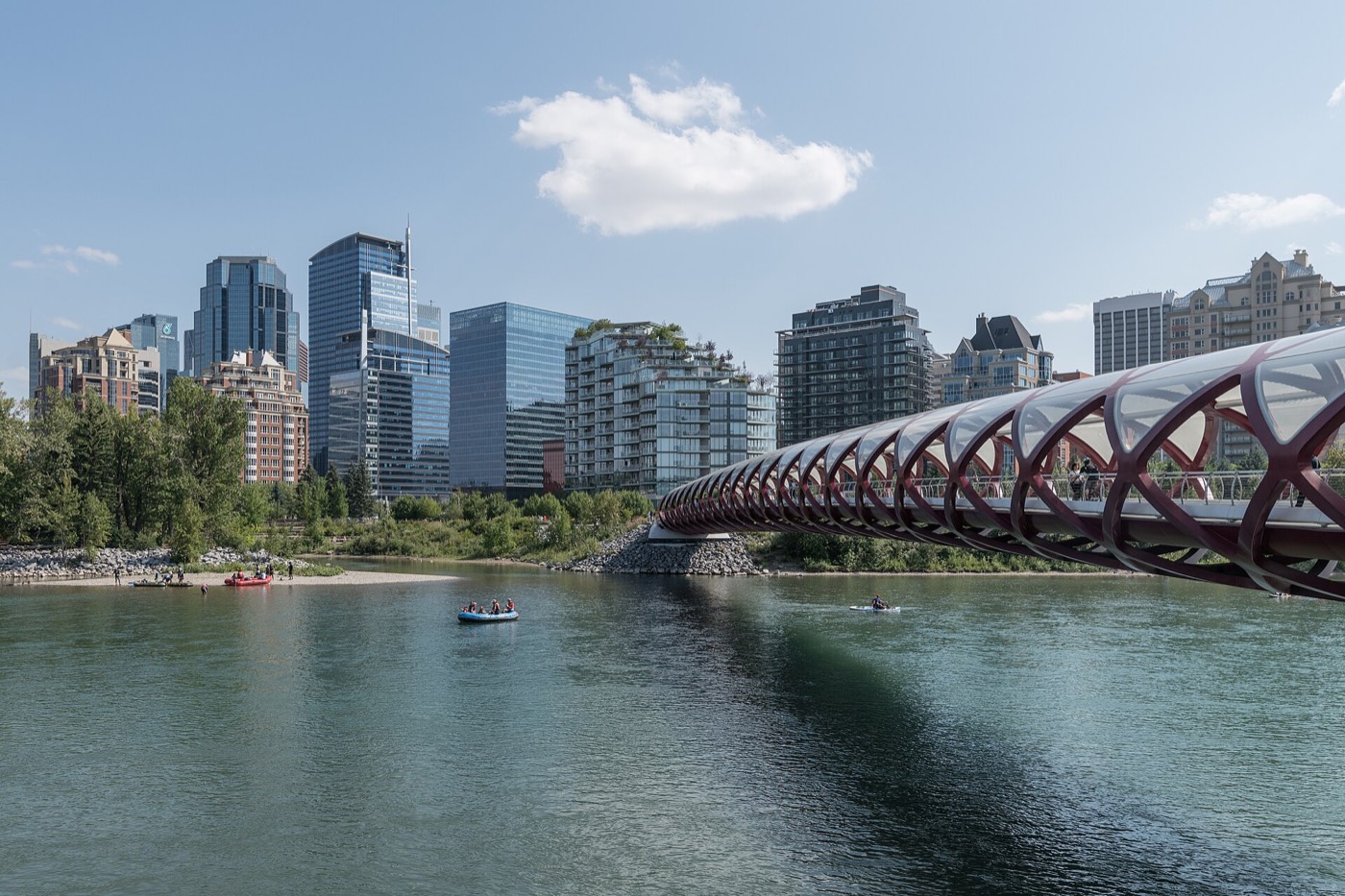
Boundaries. The Bow River forms the southern edge, Deerfoot Trail the eastern one, Edmonton Trail the western one, and Renfrew sits immediately north. It is one river crossing from downtown — Reconciliation Bridge, Memorial Drive or the Blue Line all get there in under ten minutes.
Housing mix. At the 2021 census: 6,350 residents in 3,550 dwellings on 3.1 km², with 54% of housing rental — a genuinely mixed inner-city stock of pre-war infill, walk-up apartments and newer condo towers along the LRT line.
The flood. The June 2013 flood forced a full evacuation of the community; residents were allowed back on June 22. It is the one piece of history every longtime resident brings up unprompted, and worth asking about directly when you look at a specific address.
- Housing stock spans pre-war infill to new condo towers — get any older building's roof, windows and electrical inspected on its own merits
- 54% rental means real turnover; review condo documents and reserve funds carefully on any unit purchase
- Low-lying stretches near the Bow were evacuated in the June 2013 flood — ask for flood-risk documentation on a specific address
- 1 Avenue NE gets loud on Stampede and summer weekend nights within a block or two of the strip
- Street parking is tight; confirm what comes with a specific unit before you assume a spot
How Bridgeland/Riverside got here
- 1903Riverside incorporates as its own village on July 6, on the Bow's north bank.
- 1908The Bridgeland-Riverside Community Association is founded; the Bridgeland name comes from the Dominion Bridge Company's works nearby.
- 1911Riverside is annexed by the City of Calgary.
- 1929The Calgary Zoo is established on St. George's Island with 36 mammals and 78 birds.
- 1985The Bridgeland/Memorial CTrain station opens on the original Northeast LRT line.
- 2011Telus Spark, a $160-million science centre, opens on St. George's Island.
- 2013The June flood forces a full evacuation of Bridgeland/Riverside; residents are allowed back on June 22.

A hill, a river, and an island zoo for a backyard
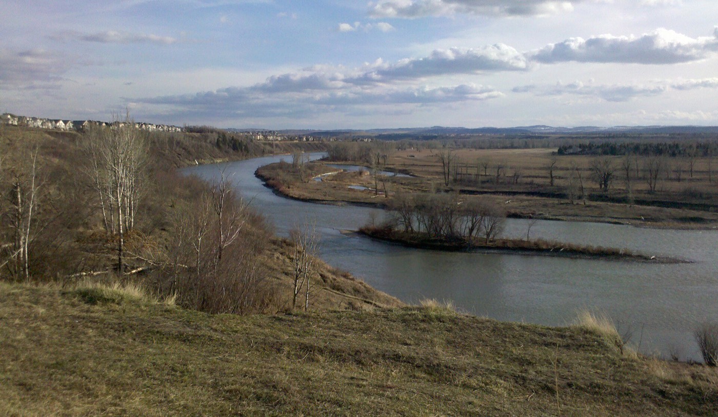
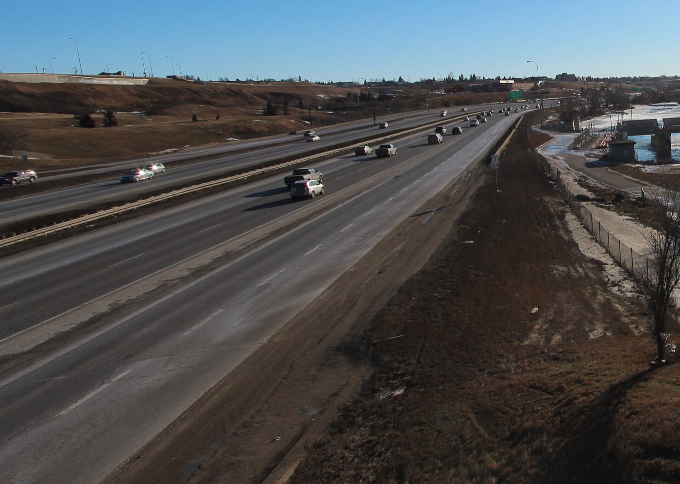
Tom Campbell's Hill Park climbs the community's edge with trails overlooking downtown and the Bow, Murdoch Park sits along the riverbank below it, and the Bow River pathwaycarries the southern edge into St. Patrick's Island and East Village. Across the water on St. George's Island sit the Calgary Zoo and Telus Spark — both effectively the community's own front yard.



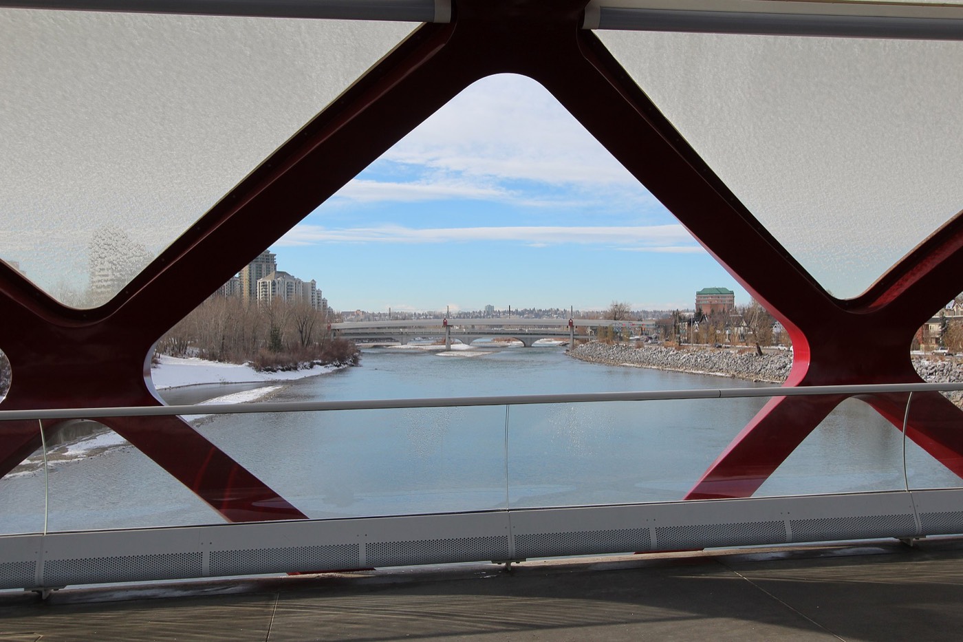
The resident's angle: no Calgary community sits closer to the zoo and the science centre than this one, and the river that makes that possible is the same one that flooded the community in 2013. That is the honest trade at the centre of living here.
22 places, with real drive times
Road-adjusted distance and drive time from the centre of the community to each destination, nearest first. Filter by category.
Showing 1–12 of 22 places, nearest first.
Method: distances and drive times are estimated from the centre of the community to each destination using Calgary's road grid, and are rounded to honest ranges rather than presented as precise figures. Almost everything on this list is inside the city's inner ring — the numbers here are the tightest of any community on this site, and the airport and mountain figures are the outliers rather than the rule.
Every gym within reach
Small-format studios along 1 Avenue NE cover the daily list, with the city-run Renfrew Aquatic & Recreation Centre just north and Repsol Sport Centre a short drive south. Confirm hours before you count on any of them.
- F45, Movement U and Fit Republic cluster along the 1 Avenue and 4 Street NE strip
- The Bow River pathway and Tom Campbell's Hill are the free options — pathway riding and a genuine stair workout
- Downtown's chain and boutique clubs are a short trip across Reconciliation Bridge or the Blue Line
- Repsol Sport Centre is the larger facility, nine to thirteen minutes south near Stampede Park
| Facility | What it is | Drive |
|---|---|---|
| Renfrew Aquatic & Recreation Centre open | City-run pool, weight room and gymnasium immediately north in Renfrew. | 4–6 min |
| Bridgeland fitness studios open | F45, Movement U and Fit Republic — small-format studios along the 1 Avenue and 4 Street NE strip. | 1–3 min |
| Bow River pathway open | Free option: the paved regional pathway along the southern edge, connecting to the Peace Bridge and downtown. | 2–3 min |
| Tom Campbell's Hill Park open | Free option: the hill's trails and stairs overlooking downtown are the community's own stair workout. | 2–4 min |
| Downtown fitness clubs open | Chain and boutique clubs across the river in the core, reachable via Reconciliation Bridge or the Blue Line. | 6–9 min |
| Repsol Sport Centre open | Fifty-metre pool, diving towers and a large fitness floor near Stampede Park. | 9–13 min |
The hill does real work here. Tom Campbell's Hill's trails and stairs are a genuine, free daily workout with a downtown view most gyms cannot match.
Two schools inside the community, and the rest a short ride away
Riverside School carries the public K–9 years inside the community with a science alternative program, and St. Angela School serves the Catholic side. Crescent Heights High School is the designated senior high, west across Edmonton Trail.
| School | Board | Note |
|---|---|---|
| Riverside School | Calgary Board of Education | Public K–9 school inside the community, with a science alternative program. |
| St. Angela School | Calgary Catholic | Catholic elementary inside the community. |
| Crescent Heights High School | Calgary Board of Education | Designated senior high, west across Edmonton Trail. |
| Catholic junior and senior high designations | Calgary Catholic | Sit outside the community; confirm the current designation for a specific address with the board before you buy. |
| SAIT and Bow Valley College | Post-secondary | Nearest post-secondary options, north via the Blue Line and downtown respectively. |
Alberta funds Catholic education the same way it funds public education, so there is no tuition for a resident student at either board. Confirm the current junior and senior high designation for a specific address with the board before you buy — inner-city boundaries shift as enrolment moves.
Month by month, what living here looks like
Not a highlights reel — the actual annual rhythm, including the dates residents have to remember.
- Zoolights runs at the Calgary Zoo through the first days of January, its glow visible from Tom Campbell's Hill
- The Bow River pathway ices over in the shaded stretch below the hill — cleats help
- The Bridgeland/Memorial platform catches the full wind funnel off the river valley
- Renfrew Aquatic & Recreation Centre carries the indoor season
- A chinook can clear Tom Campbell's Hill's trails within an afternoon
- Family Day programming fills up at Telus Spark and the Zoo
- 1 Avenue's patios stay folded up through the cold snaps
- Deerfoot Trail's rush-hour ice is the community's real winter hazard, not the side streets
- Meltwater off Tom Campbell's Hill refreezes into black ice on the stairs by evening
- The Reconciliation Bridge deck can ice over before the streets around it do
- First patio tables appear on 1 Avenue NE on any afternoon above freezing
- Riverside School's science program runs its first outdoor field days along the Bow
- The Bow River pathway fills with the first real foot and bike traffic of the year
- St. Patrick's Island reopens fully for the season
- Telus Spark's spring break crowds peak before school resumes
- The Zoo's spring programming draws the season's first big weekend crowds
- 1 Avenue NE patio season hits its stride
- Bridgeland Market's sidewalk produce stands return
- Murdoch Park and Tom Campbell's Hill fill with evening walkers as light lasts past 9pm
- The community association's spring events calendar fills in
- The Bow River pathway sees its heaviest cyclist and pedestrian traffic of the year
- School year winds down at Riverside and St. Angela
- June rains are Calgary's wettest — the river gauge is one every Bridgeland resident has watched since 2013
- The Zoo's peak visitor season begins
- Calgary Stampede — ten days, a short walk or ride across the river via Reconciliation Bridge
- Telus Spark and the Zoo both run extended summer hours
- 1 Avenue's patios run at full capacity most nights
- Evening thunderstorms build over the foothills and cross the city
- Warmest stretch of the year on the Bow River pathway
- Back-to-school crowds build at Bridgeland Market
- The Zoo and Telus Spark stay busy through the last weeks before school
- St. Patrick's Island's beach and splash areas are at their fullest
- School year restarts at Riverside and St. Angela
- 1 Avenue's dinner crowds return as patio season starts to wind down
- Migrating geese cross low over the Bow toward St. George's Island
- Morning riders crowd the Bridgeland/Memorial platform again after summer's lull
- Peak colour runs along the Bow River pathway and up Tom Campbell's Hill
- 1 Avenue's patios fold up for the year
- First hard frost typically arrives late in the month
- Zoolights setup begins at the Zoo ahead of its mid-November opening
- Zoolights opens at the Calgary Zoo, its glow visible from Tom Campbell's Hill
- Dark by 5pm; the Bridgeland/Memorial platform lights come on before five
- The Bow River pathway along the south edge goes quiet once the freeze sets in
- Renfrew Aquatic & Recreation Centre's indoor season picks up
- Zoolights runs through the holidays — the community's own postcard view from the hill
- A chinook arch over downtown can turn a −20 morning into a +5 afternoon
- Reconciliation Bridge's lights over the Bow are visible the length of 1 Avenue
- A quiet holiday stretch on the retail strip between Christmas and New Year
36 photographs of the community and its surroundings
All freely licensed and served from this app — nothing loads from a third party. Filter by category.








Showing 1–12 of 36 photographs.
Honesty note. This page uses only the general Calgary, downtown, transit, seasonal and Alberta-wildlife photography from the site's shared library — the Fish Creek, Midnapore and southwest-specific images used elsewhere are deliberately excluded, because this is an inner-city community and those are not its surroundings. Nothing here is presented as a photograph of Bridgeland/Riverside itself.