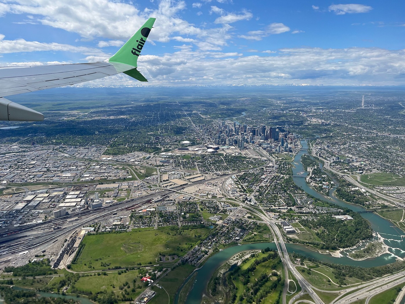
Live in Cityscape
One of the newest communities in far northeast Calgary, developed since 2013 around a 115-acre environmental reserve, minutes from CrossIron Mills and the airport.
Cityscape is one of the newest communities in Calgary's far northeast, developed from 2013 onward on land between Métis Trail and the Rocky View County line. At the 2021 census it counted 5,085 residents in 1,320 dwellings, and 69% of those homes were built between 2016 and 2021 alone — this is a community still filling in. It is also one of the city's most multicultural communities, with 64% of residents born outside Canada, and a 115-acre environmental reserve sits at the physical centre of the plan. This is what living here is actually like.
A community still filling in, built around a reserve and a road grid
Bounded north by Country Hills Boulevard, south by the future Airport Trail NE extension, west by Métis Trail, and east by the future 60 Street NE extension, adjoining Rocky View County. Ward 3.
Cityscape was developed starting in 2013 on land at the far northeast edge of the city, between Métis Trail and the Rocky View County line. It is genuinely new: at the 2021 census, 69% of its dwellings had been built in the previous five years alone, and only a handful predate 2011. You are buying into a plan that is still being finished, not a settled neighbourhood.
Boundaries. Country Hills Boulevard forms the northern edge, the future Airport Trail NE extension the southern one, Métis Trail the western one, and the future 60 Street NE extension the eastern one. Ward 3.
Who lives here. The 2021 census counted 5,085 residents in 1,320 dwellings, with an average household size of 3.9 people — well above the citywide 2.6 — and 64% of residents immigrants, primarily from India, the Philippines and Pakistan. Median household income was $108,000, above the city median, and 89% of households own rather than rent.
Getting around. 80% drive to work, and Calgary Transit's Route 128/145 loop runs through Cityscape to Saddletowne Station on the Blue Line. The standout number is the airport: 10–15 minutes away via Airport Trail, one of the shortest airport runs on this site — and CrossIron Mills is about a 15-minute drive north.
- No school has opened inside Cityscape itself — a CBE junior high and a CCSD elementary/junior high are both still in the design phase with no confirmed opening date
- Students currently attend Prairie Sky, Apostles of Jesus and Nelson Mandela in neighbouring communities; confirm current designation and busing before you buy
- Retail is still arriving — Cityscape Square opened in 2024, but a full grocery store has only just landed nearby at Cornerstone
- Airport flight paths are a real consideration this close to YYC — visit at different times of day
- Downtown is a genuine suburban commute at 26–34 minutes, and the mountains are the furthest of any community on this site
- As a newer community, expect ongoing construction traffic and phased amenities for several more years
How Cityscape got here
- 2013Cityscape is developed as a new community in far northeast Calgary, planned around a 115-acre environmental reserve at its centre.
- 2016Peter Lougheed School and Nelson Mandela High School open in neighbouring Saddle Ridge to serve the growing far-northeast population, including Cityscape.
- 2016–2021The bulk of the community is built: 69% of Cityscape's occupied dwellings date to this five-year window, against 28% from 2011–2015 and almost nothing before that.
- 2021The federal census counts 5,085 residents in 1,320 dwellings, with a median household income of $108,000, an average household size of 3.9 people, and 64% of residents immigrants.
- 2023Chalo! FreshCo grocery opens at Highstreet at Cornerstone, the nearest full grocery store to Cityscape at the time.
- 2024Cityscape Square, a 6-acre retail development at Métis Trail and Cityscape Boulevard NE, brings the community's first significant on-site commercial space.
- 2026The Government of Alberta's school capital list includes Cityscape's first two schools — a CBE junior high and a CCSD elementary/junior high — both still in the design phase with no confirmed opening date.


A 115-acre reserve at the centre, and civic parks beyond it
The Cityscape Environmental Reserve sits at the heart of the community — 115 acres with a 2.5 km perimeter loop that connects directly to the Rotary/Mattamy Greenway, the 138 km pathway that circles the city. Beyond the reserve, the open space is civic: Prairie Winds Park and Elliston Park, both fifteen to twenty-five minutes south.




The resident's angle: the reserve is the genuine draw here — a wetland loop with returning geese and goslings each spring, walkable from almost anywhere in the community, and already built even while the rest of Cityscape is still under construction around it.
22 places, with real drive times
Road-adjusted distance and drive time from the centre of the community to each destination, nearest first. Filter by category.
Showing 1–12 of 22 places, nearest first.
Method: distances and drive times are estimated from the centre of the community to each destination using Calgary's road grid, and are rounded to honest ranges rather than presented as precise figures. The numbers here are lopsided by design: the airport and CrossIron Mills are unusually close, and downtown and the mountains are both further than from almost any other community on this site.
Every gym within reach
The far northeast is served by large civic facilities a drive away rather than a dense cluster of private clubs close by. Confirm hours before you count on any of them.
- Village Square Leisure Centre adds a wave pool, arena and a library branch, further south again
- Anytime Fitness in Saddletowne is the nearest paid chain gym, reached via the Route 128/145 loop
- The reserve's own 2.5 km perimeter loop is the free option, and it is already built
- Prairie Winds Park adds free fields and a spray park, seventeen to twenty-three minutes away
| Facility | What it is | Drive |
|---|---|---|
| Genesis Centre open | The northeast's anchor recreation facility: gymnasiums, fitness centre, indoor courts and community programming. | 16–22 min |
| Village Square Leisure Centre open | Wave pool, arena, fitness space, gymnasium and a library branch under one roof. | 19–25 min |
| Anytime Fitness — Saddletowne open | 24-hour access chain gym in the Saddletowne retail area, reached via the Route 128/145 loop. | 13–19 min |
| Cityscape Environmental Reserve pathways open | Free option: the 2.5 km perimeter loop around the reserve, connecting to the Rotary/Mattamy Greenway. | 1–3 min |
| Prairie Winds Park open | Not a gym, but a free option: spray park, wading pool and playing fields. | 17–23 min |
Distances here run long. Because Cityscape sits at the far edge of the built-up northeast, every civic recreation facility is a genuine drive rather than a short hop — budget for that when you plan around gym membership or league sport.
Two schools planned inside the community, none open yet
Cityscape students currently attend school outside the community: Prairie Sky for public elementary through junior high, Apostles of Jesus for the Catholic equivalent, and Nelson Mandela for senior high — all in neighbouring communities to the south. A CBE junior high and a CCSD elementary/junior high are both approved for construction inside Cityscape itself, but both remain in the design phase.
| School | Board | Note |
|---|---|---|
| Prairie Sky School | Calgary Board of Education | K–9 public school in neighbouring Skyview Ranch, currently the nearest CBE option. |
| Apostles of Jesus School | Calgary Catholic | K–9 Catholic school in neighbouring Skyview Ranch. |
| Nelson Mandela High School | Calgary Board of Education | Designated senior high, grades 10–12, on Saddletowne Circle NE. |
| New CBE school in Cityscape (planned) | Calgary Board of Education | A 1,225-capacity grades 6–9 school approved for the community itself, in the design phase with no confirmed opening date. |
| New CCSD school in Cityscape (planned) | Calgary Catholic | An elementary/junior high announced for the community under the province's 2026 school capital list, in planning. |
Alberta funds Catholic education the same way it funds public education, so there is no tuition for a resident student at either board. Confirm the current designation and busing for a specific address with the board before you buy — designations in this part of the northeast have shifted repeatedly as new communities have filled in, and they will likely shift again once Cityscape's own schools open.
Month by month, what living here looks like
Not a highlights reel — the actual annual rhythm, including the dates residents have to remember.
- Chinooks reach the far northeast last and weakest of anywhere in the city
- Airport Trail and Stoney Trail are priority routes, so access holds up
- The environmental reserve pond freezes over — no posted skating, but a cold, quiet loop
- Wind off the open land east of Métis Trail is a real factor
- Genesis Centre and Village Square carry the indoor season
- Longer light by month end
- Coldest stretches usually break with a chinook
- Airport traffic on Métis and Airport Trail is the quadrant's winter bottleneck
- Melt and refreeze on side streets in the newer phases
- Prairie wind picks up as the snow goes
- The reserve's perimeter loop reopens as the path clears
- First bare pavement at Cityscape Square
- Migratory geese and ducks return to the reserve's pond
- Last hard frosts — planting waits until the long weekend
- Rotary/Mattamy Greenway connections come back into daily use
- Construction season restarts across the community's unbuilt phases
- Goslings on the reserve pond through the month
- Long evenings — sunset past 9pm by month end
- Prairie Winds Park's fields open for the season
- Hail season begins — the northeast gets more than its share
- Peak daylight at the solstice — over 16 hours
- Nelson Mandela High School's graduating class wraps up the school year
- School year ends across the neighbouring Skyview Ranch schools
- Thunderstorm season is fully under way
- Calgary Stampede — ten days, about 25 minutes southwest
- Globalfest fireworks at Elliston Park in August, visible from the far northeast on clear nights
- Evening thunderstorms roll in from the west
- Hottest month, with little shade along the newer streets
- Globalfest runs at Elliston Park
- CrossIron Mills at its busiest with back-to-school shopping
- Quietest weeks before school returns
- Harvest traffic on Highway 2 and Country Hills Boulevard east of the city
- School year restarts at Prairie Sky, Apostles of Jesus and Nelson Mandela
- First frost typically arrives late in the month
- Cityscape Square busiest with back-to-school errands
- Migrating waterfowl stage on the reserve pond
- First snow is normal, and normally melts
- Snow tires go on
- The reserve's aspens and shrubs turn before the rest of the community's young trees
- Shorter evenings noticeable by mid-month
- Dark by 5pm
- Indoor recreation season restarts at Genesis Centre and Village Square
- CrossIron Mills holiday retail season begins
- Freeze sets in on the reserve pond
- Zoolights at the Calgary Zoo, southwest along Memorial
- Holiday quiet across the newer phases of the community
- CrossIron Mills at its busiest of the year
- Chinooks, when they come, arrive late and weak this far northeast
36 photographs of the community and its surroundings
All freely licensed and served from this app — nothing loads from a third party. Filter by category.






Showing 1–12 of 36 photographs.
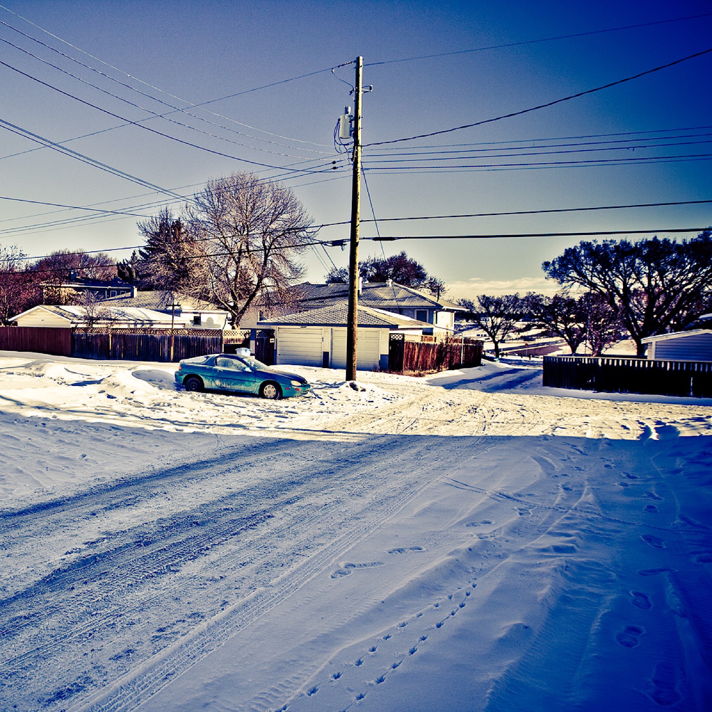
Honesty note. This page uses only the general Calgary, seasonal, Alberta-wildlife and transit photography from the site's shared library — the Fish Creek and Midnapore-specific images used on the southeast pages are deliberately excluded, because this community is in the far northeast and those are not its surroundings. Nothing here is presented as a photograph of Cityscape itself.