
Live in Saddlebrook
A loop of streets in the far northeast, on Saddle Ridge's western edge near Métis Trail — and the name of Calgary Transit's own local bus route through it.
Saddlebrook is not an independently defined City of Calgary community. It is the name attached to a cluster of streets — Saddlebrook Drive, Way, Common, Circle, Point, Place, Link, Gate and Mews — built out in the mid-2000s in the western part of Saddle Ridge, hard against Métis Trail. The City counts it as part of Saddle Ridge for census, tax and planning purposes, and the clearest official use of the name on the ground is Calgary Transit's own Route 159, badged simply "Saddlebrook." This is what living here is actually like.
A named loop of streets inside Saddle Ridge, not a community of its own
Not separately delineated by the City — sits within Saddle Ridge's own boundary (Airport Trail NE to the north, Stoney Trail NE to the east, 80 Avenue NE to the south, Métis Trail NE to the west), with its own streets concentrated against the Métis Trail edge. Ward 5.
Saddlebrook is not an independently defined City of Calgary community. It is the name attached to a cluster of streets — Saddlebrook Drive, Way, Common, Circle, Point, Place, Link, Gate and Mews — built out in the mid-2000s in the western part of Saddle Ridge, hard against Métis Trail. On a tax notice, an MLS listing or the census, this address is simply Saddle Ridge.
Saddle Ridge itself is bordered north by Airport Trail, east by Stoney Trail, south by 80 Avenue NE and west by Métis Trail — Ward 5. Saddlebrook's own streets sit against that western edge, closer to Métis Trail than to the Saddletowne retail core at the community's centre.
The clearest official use of the name on the ground is transit, not planning: Calgary Transit runs its own Route 159, badged "Saddlebrook" — a 5.97 km loop from Saddletowne Terminal through Saddlebrook, Saddlecrest and Taradale and back, 21 stops, about 21 minutes end to end.
Housing and demographics. Because the City does not tabulate Saddlebrook separately, the only real population and dwelling figures available are for Saddle Ridge as a whole: 24,365 residents in 6,005 dwellings at the 2021 census, 62% immigrants, and a median household income of $104,000. Property records for Saddlebrook Drive and Saddlebrook Point show homes built between 2007 and 2009.
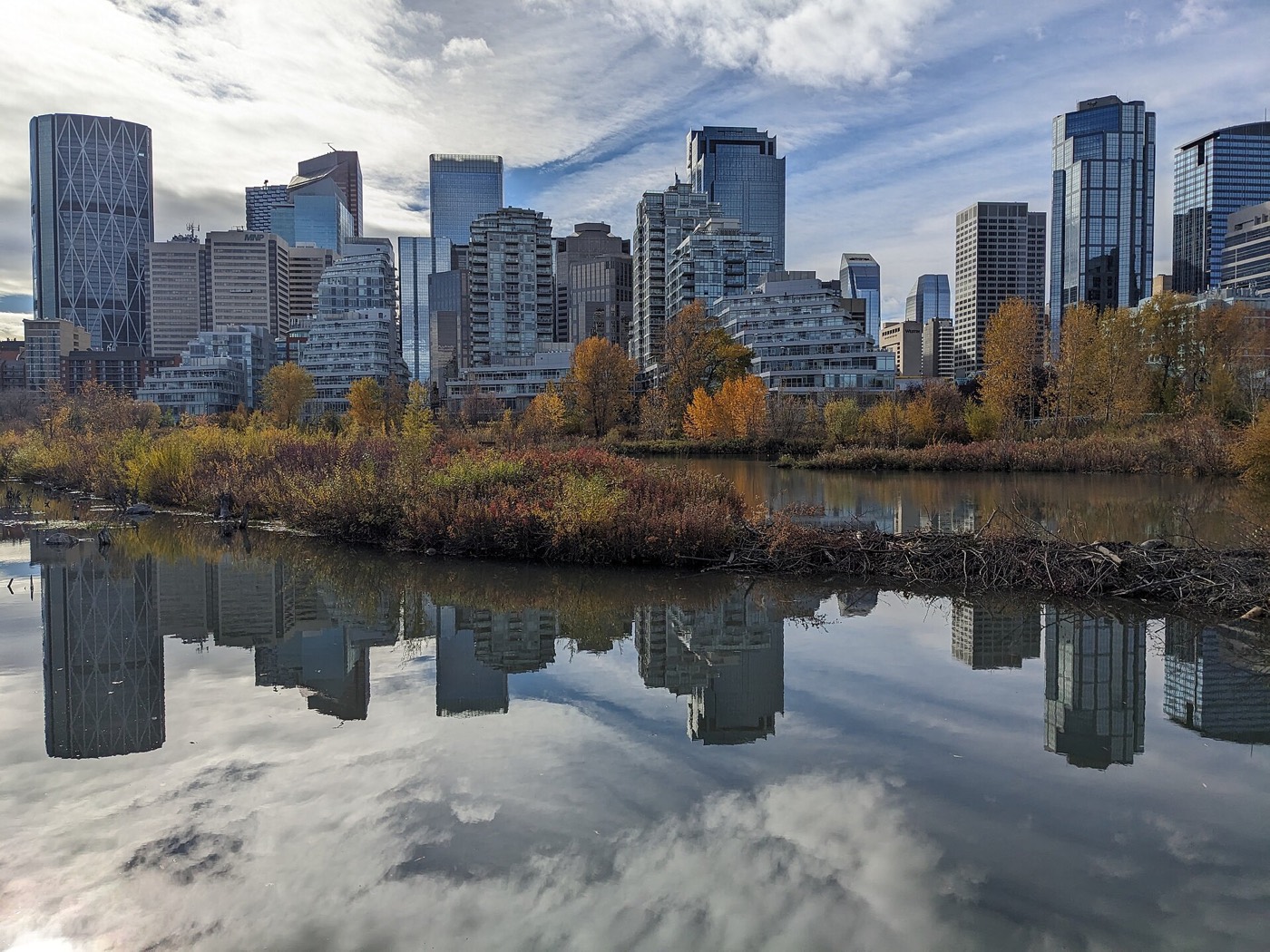
- Saddlebrook is not an independently defined City of Calgary community — expect "Saddle Ridge" on your tax notice, MLS listing and census data, not "Saddlebrook"
- Homes here date to 2007–2009 — not new construction, but younger than Saddle Ridge's earliest 1990s phases
- Airport Trail is close enough that flight paths are a real, constant consideration
- Big-box and mall shopping means a drive; Saddletowne Circle covers the everyday groceries and dining
- School designations have shifted repeatedly as Saddle Ridge has grown — confirm the current one for a specific address
- Getting west to the mountains means crossing the entire city — budget well over an hour and a half to Kananaskis
How Saddlebrook got here
- 1960sThe City's own record marks Saddle Ridge established, though the land — including what is now Saddlebrook — is acreages and pasture at the time, not subdivided.
- 1990sUrbanization of Saddle Ridge begins in four development phases, working outward from the earliest subdivisions.
- Mid-2000sSaddlebrook's own streets are built out as the development pushes west toward Métis Trail; property records show homes on Saddlebrook Drive and Saddlebrook Point dating to 2007–2009.
- 2010Light of Christ School opens nearby as a K–9 Catholic option serving Saddle Ridge, including the Saddlebrook streets.
- 2012Saddletowne Station opens on the Blue Line, giving the area a CTrain terminus a short ride from Saddlebrook.
- 2016Nelson Mandela High School and Peter Lougheed School both open to serve the growing population.
- TodayCalgary Transit still runs the Route 159 "Saddlebrook" loop from Saddletowne Terminal through Saddlebrook, Saddlecrest and Taradale and back. The City of Calgary does not tabulate Saddlebrook's population or dwellings separately from Saddle Ridge.
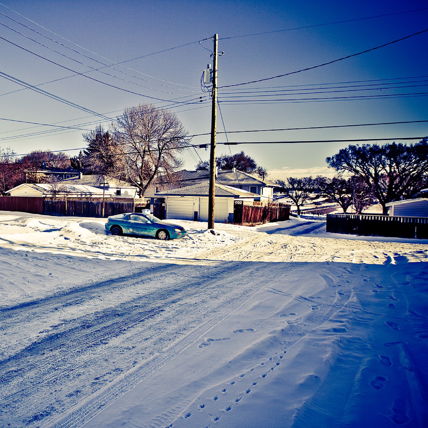

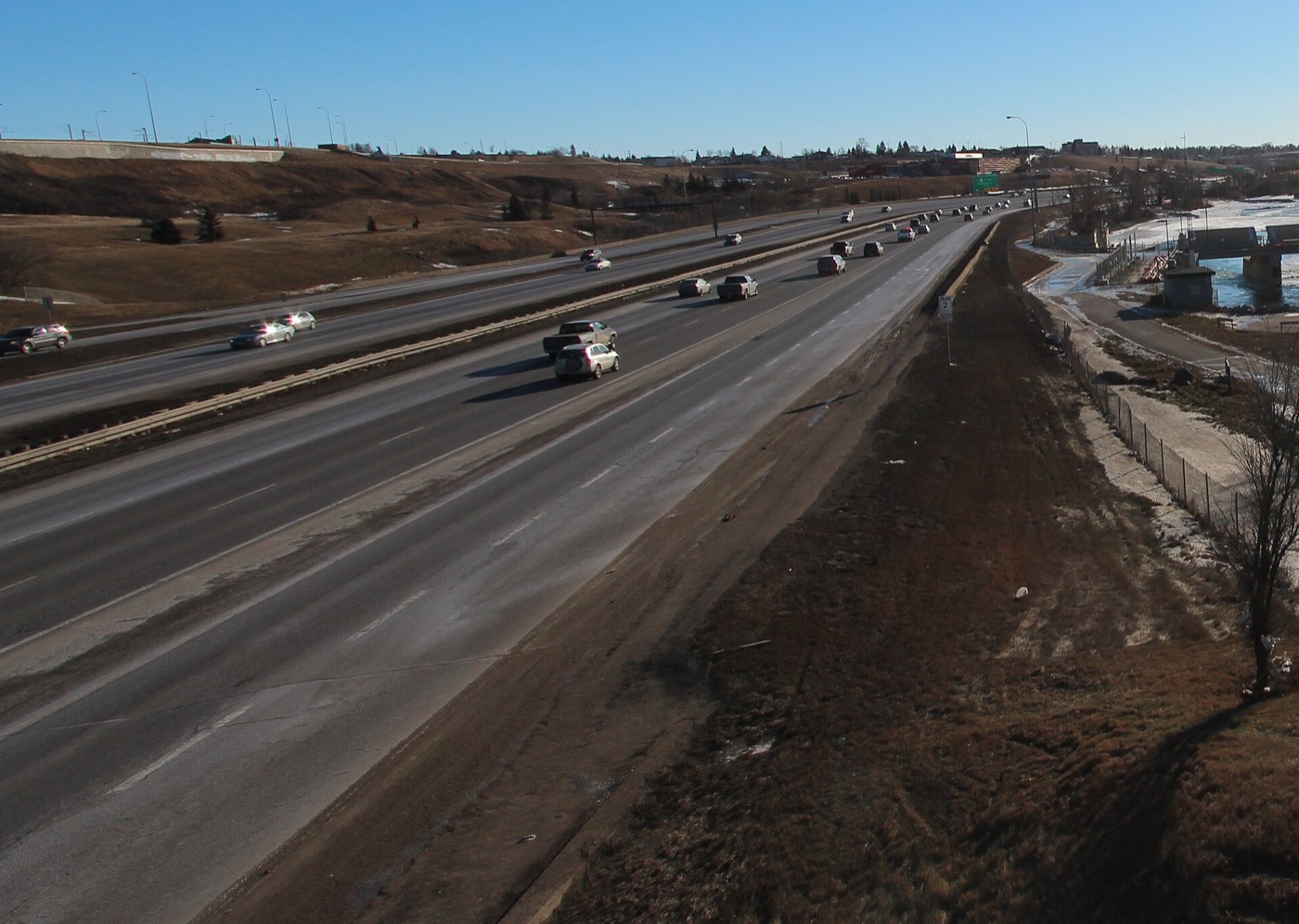
No park of its own, but Prairie Winds and the Saddlebrook pathways
There is no river valley here and no park carrying the Saddlebrook name — its own open space is the internal pathway network through the streets themselves, plus Prairie Winds Park eight to twelve minutes south, one of the northeast's big civic parks with a spray park, wading pool, zip line, cricket pitch and soccer fields.




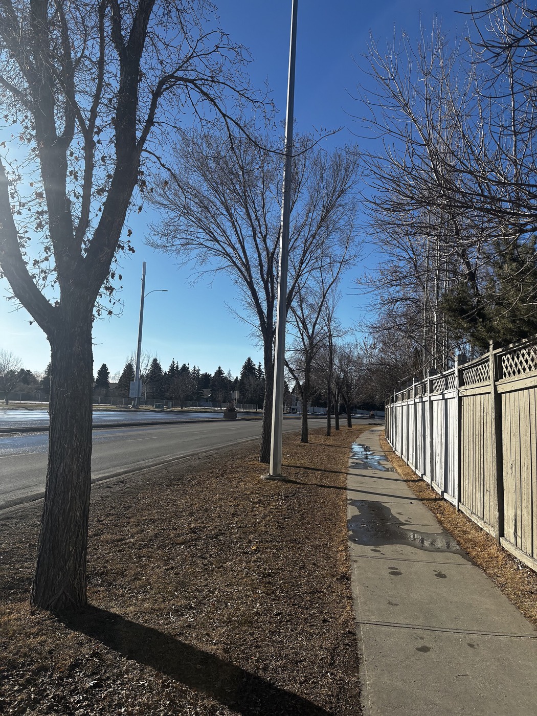
The resident's angle: the genuine advantage here is proximity rather than scenery — Calgary International Airport is nine to fourteen minutes away, and Chestermere Lake is a straightforward run east. That is the honest trade for having no dedicated green space of its own.
21 places, with real drive times
Road-adjusted distance and drive time from the centre of the community to each destination, nearest first. Filter by category.
Showing 1–12 of 21 places, nearest first.
Method: distances and drive times are estimated from the centre of the Saddlebrook street cluster to each destination using Calgary's road grid, and are rounded to honest ranges rather than presented as precise figures. Because Saddlebrook sits on Saddle Ridge's western edge rather than at its centre, some figures here — Stoney Trail and the Saddletowne core especially — run longer than they would from elsewhere in the wider community.
Every gym within reach
Genesis Centre remains the anchor facility for this part of the northeast, with a chain gym inside Saddletowne Circle for the closest paid option. Confirm hours before you count on any of them.
- Shared by Saddle Ridge, Taradale and Martindale — the northeast's largest community facility
- Anytime Fitness sits inside Saddletowne Circle, three to six minutes from the Saddlebrook streets
- Village Square Leisure Centre adds a wave pool and arena, twelve to seventeen minutes away
- The Saddlebrook streets' own internal pathways are the free option
| Facility | What it is | Drive |
|---|---|---|
| Genesis Centre open | The northeast's anchor recreation facility: pools, gymnasiums, fitness centre, indoor soccer fields, programming and a library branch under one roof. | 5–9 min |
| Anytime Fitness — Saddletowne Circle open | 24-hour chain gym in the community's own retail hub — the closest paid gym to the Saddlebrook streets. | 3–6 min |
| Village Square Leisure Centre open | City-run leisure centre with a wave pool, arena, gymnasium and a library branch. | 12–17 min |
| GoodLife Fitness — Sunridge open | National chain club near Sunridge Mall. | 10–15 min |
| Saddlebrook streets and pathways open | Free option: the internal pathway network through Saddlebrook Drive, Way, Common, Circle and Point, plus Prairie Winds Park a short drive south. | 1–3 min |
Check current programming. Genesis Centre serves three fast-growing communities at once, so drop-in space and class availability shift with demand — confirm current hours and capacity before you build a routine around it.
Shared designations with the rest of Saddle Ridge
Hugh A. Bennett School, immediately adjacent, covers public elementary. Peter Lougheed School covers junior high and Nelson Mandela High School covers senior high — both opened in 2016 to keep pace with growth across the wider community. Light of Christ covers Catholic K–9 for Saddle Ridge and neighbouring Savanna.
| School | Board | Note |
|---|---|---|
| Hugh A. Bennett School | Calgary Board of Education | Public elementary, K–4, immediately adjacent to the Saddlebrook streets. |
| Peter Lougheed School | Calgary Board of Education | Public junior high, grades 7–9, opened 2016. |
| Nelson Mandela High School | Calgary Board of Education | Public senior high on Saddletowne Circle, opened 2016, serving Saddle Ridge, Taradale and Martindale. |
| Light of Christ School | Calgary Catholic | Catholic elementary and junior high, K–9, opened 2010, serving Saddle Ridge and Savanna. |
| Calgary Catholic School District | Calgary Catholic | Alberta funds Catholic education the same way it funds public education, so there is no tuition for a resident student at either board. Confirm the current designation for a specific address before you buy. |
Alberta funds Catholic education the same way it funds public education, so there is no tuition for a resident student at either board. Confirm the current designation for a specific address with the board before you buy — this is one of the fastest-growing parts of the city, and northeast designations have been reviewed repeatedly as enrolment has shifted.
Month by month, what living here looks like
Not a highlights reel — the actual annual rhythm, including the dates residents have to remember.
- Chinooks reach the far northeast last and weakest of anywhere in the city
- Métis Trail and Airport Trail keep priority snow clearing, so access out of Saddlebrook holds up
- Genesis Centre's pools and gymnasiums carry the indoor season
- Route 159's loop through Saddlebrook, Saddlecrest and Taradale runs on a winter schedule
- Family Day programming fills Genesis Centre and the Saddletowne YMCA
- Longer light by month end
- Coldest stretches usually break with a chinook, though later here than west Calgary
- Indoor recreation at its busiest of the year
- Melt and refreeze on the Saddlebrook streets, all built in the mid-2000s
- Prairie wind picks up as the snow goes
- Spring break crowds Genesis Centre
- First bare pavement along Métis Trail's sidewalks
- Vaisakhi gatherings draw crowds to Saddletowne Circle's temples and restaurants
- Last hard frosts — planting waits until the long weekend
- School year enters its final stretch at Hugh A. Bennett and Nelson Mandela
- Migratory geese pass over on their way to the Bow
- Long evenings — sunset past 9pm by month end
- Community league and field sport seasons start at Prairie Winds Park
- Hail season begins — the far northeast gets more than its share
- Ramadan and Eid dates shift into this month in some years, filling nearby prayer spaces
- Peak daylight at the solstice — over 16 hours
- School year ends at Hugh A. Bennett, Peter Lougheed and Nelson Mandela
- Thunderstorm season is fully under way
- Chestermere beaches fill on warm weekends, a run east
- Calgary Stampede — ten days, about half an hour southwest
- Evening thunderstorms roll in from the west
- Hottest month, with little shade this far from any river valley
- Saddletowne Circle's restaurant patios run at full tilt
- Globalfest fireworks visible from open ground toward Airport Trail
- Chestermere Lake at its warmest
- Quietest weeks before school returns
- Airport traffic on nearby Airport Trail peaks with summer travel
- School year restarts at Hugh A. Bennett, Peter Lougheed and Nelson Mandela
- First frost typically arrives late in the month
- Sunridge and Saddletowne Circle busiest with back-to-school shopping
- Prairie colour turns toward Airport Trail
- Diwali lights up Saddletowne Circle's shops and restaurants
- First snow is normal, and normally melts
- Snow tires go on
- Shorter evenings noticeable by mid-month
- Dark by 5pm
- Indoor recreation season restarts at Genesis Centre
- CrossIron Mills' holiday retail season begins, a drive north
- Freeze sets in on Chestermere Lake east of the city
- Zoolights at the Calgary Zoo, across the city
- Holiday quiet along the Saddlebrook streets
- Chestermere ice starts to hold
- Chinooks, when they come, arrive late and weak here
36 photographs of the community and its surroundings
All freely licensed and served from this app — nothing loads from a third party. Filter by category.







Showing 1–12 of 36 photographs.
Honesty note. This page uses only the general Calgary, seasonal, Alberta-wildlife and day-trip photography from the site's shared library — the Fish Creek and Midnapore-specific images used on the southeast pages are deliberately excluded, because this is a far-northeast address and those are not its surroundings. Nothing here is presented as a photograph of Saddlebrook itself.