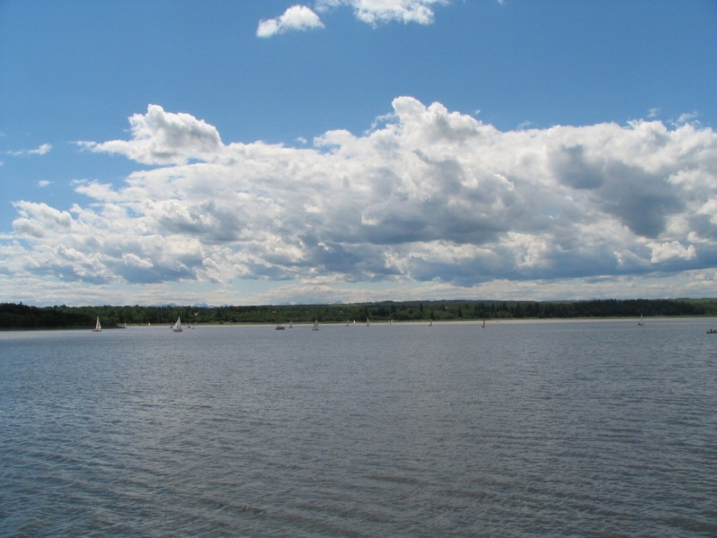
Live in Cedarbrae
A 1973 community on Tsuut'ina Trail, with Southland Leisure Centre on its own doorstep.
Cedarbrae was established in 1973 on land annexed in 1956, its western edge running along Tsuut'ina Trail against the Tsuut'ina Nation: 2.0 km², 5,935 residents in 2,550 dwellings at the 2021 census, with 26% rental. Southland Leisure Centre sits just north, Glenmore Landing handles the errands, and Glenmore Park brackets the western valley. This is what living here is actually like.
Southland's neighbour, Glenmore's edge
Bounded by Southland Drive to the north, 24 Street SW to the east, Anderson Road to the south, and Tsuut'ina Trail — with the Tsuut'ina Nation beyond — to the west. Ward 11.
Cedarbrae was established in 1973 on land annexed in 1956 — 2.0 km², 5,935 residents in 2,550 dwellings at the 2021 census, 26% rental.
Southland Leisure Centre — wave pool, water slides, two ice rinks — has sat on the community's own northern edge since 1983. Glenmore Park and the Weaselhead Natural Area run the western valley, with the Tsuut'ina Nation beyond Tsuut'ina Trail.
The stock is 1970s bungalow and split-level; Glenmore Landing handles groceries and everyday errands a few minutes northwest.
- 1970s originals carry the era's full inspection list — poly-B and aluminum wiring turn up
- Southland Leisure Centre traffic and parking spill onto the north edge on weekends
- Anderson Road carries real traffic on the southern boundary
- No CTrain inside the community — Southland station is a drive, not a walk
How Cedarbrae got here
- 1956The land is annexed by the City of Calgary.
- 1973Cedarbrae is established.
- 1983Southland Leisure Centre opens on the community's northern edge.
- 2021Federal census records 5,935 residents in 2,550 dwellings.


The reservoir's natural area, down the valley
Glenmore Park and the Weaselhead Natural Area run the western valley below the reservoir — a genuine wilderness pocket inside city limits, a few minutes' drive from the community.

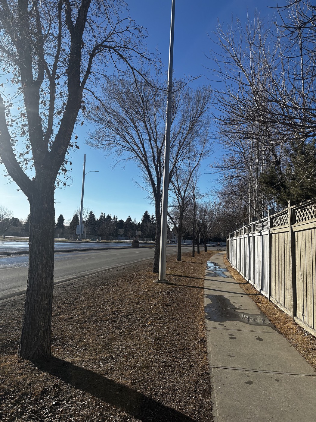
The resident's angle: Weaselhead is unlit and closes at dusk in winter — it's a daytime trail network, not an evening dog-walking loop.
11 places, with real drive times
Road-adjusted distance and drive time from the centre of the community to each destination, nearest first. Filter by category.
Showing 1–11 of 11 places, nearest first.
Method: distances and drive times are estimated from the centre of the community to each destination using Calgary's road grid, and are rounded to honest ranges rather than presented as precise figures. Southland Leisure Centre compresses the recreation numbers; the mall and reservoir sit a short drive out.
Every gym within reach
Southland Leisure Centre inside the community, Weaselhead free, Glenmore Landing and Southcentre commercial. Confirm hours before you count on anything.
- Wave pool, water slides and a diving tank
- Two ice rinks and a climbing wall
- Weaselhead's trails are the free option
- Glenmore Landing and Southcentre district clubs cover convenience
| Facility | What it is | Drive |
|---|---|---|
| Southland Leisure Centre open | Wave pool, water slides, two ice rinks, climbing wall and weight room. | 2–3 min |
| Glenmore Park & Weaselhead trails open | Free option: reservoir and valley pathway network. | 4–6 min |
| Glenmore Landing area clubs open | Commercial gyms in the Glenmore Landing plaza. | 5–8 min |
| Southcentre Mall district clubs open | Commercial options around the mall. | 6–9 min |
This community is built around one facility — Southland does the work most others split across three or four addresses.
Elementary inside, the ladder runs to Henry Wise Wood
Cedarbrae Elementary and St. Cyril carry elementary and junior high inside the community; John Ware and Henry Wise Wood take the senior years.
| School | Board | Note |
|---|---|---|
| Cedarbrae Elementary School | Calgary Board of Education | Public elementary inside the community. |
| St. Cyril Elementary & Junior High | Calgary Catholic | Catholic elementary and junior high inside the community. |
| John Ware Junior High | Calgary Board of Education | Public junior high; feeds into Henry Wise Wood. |
| Henry Wise Wood High School | Calgary Board of Education | Public senior high serving the community. |
Alberta funds Catholic education the same way it funds public education, so there is no tuition for a resident student at either board. Confirm the designation for a specific address before you buy.
Month by month, what living here looks like
Not a highlights reel — the actual annual rhythm, including the dates residents have to remember.
- Southland's wave pool fogs the windows on the coldest mornings
- Tsuut'ina Trail's ring-road traffic thins out once the deep freeze sets in
- Glenmore Reservoir freezes solid enough for the odd skater by month end
- 1970s split-levels along the Braeside border show their age in the heating bill
- Southland's two ice rinks run public skating at full capacity
- A chinook can clear Tsuut'ina Trail's shoulder snowbanks in an afternoon
- Weaselhead's trails stay firm and walkable even through a cold snap
- Southland's lot gets plowed before the neighbourhood streets are
- Meltwater off Glenmore Reservoir's dam runs high through Weaselhead
- Southland's outdoor lot floods with runoff before the storm drains catch up
- Cleats are the right footwear on the Weaselhead switchbacks
- 1970s driveways along the Woodbine border heave with the freeze-thaw
- Glenmore Park's pathway network reopens along the reservoir's edge
- Weaselhead's cottonwoods bud out first, ahead of the community's own street trees
- Southland's wave pool switches to spring programming as the outdoor season nears
- Ring-road construction noise off Tsuut'ina Trail becomes noticeable again
- The 1970s ash and spruce canopy along Cedarbrae's crescents fills back in
- Sailboats reappear on Glenmore Reservoir on the first warm weekends
- Southland's outdoor deck opens for the season
- Field sports start up on the school greens shared with Braeside
- School lets out and Southland's wave pool hits its first summer crowds
- Paddlers and sailors fill Glenmore Reservoir most weekday evenings
- Weaselhead's trails see their heaviest cyclist traffic of the year
- Tsuut'ina Trail's ring-road ramps see steady weekend traffic west
- Southland's water slides run lineups most weekend afternoons
- Glenmore Reservoir's sailing club races most Wednesday evenings
- Weaselhead's valley floor stays several degrees cooler than the streets above
- Stampede traffic detours some commuters onto Tsuut'ina Trail
- Southland's outdoor programs wind down before the school-return rush
- Glenmore Reservoir's water level starts its late-summer drop
- Weaselhead's cottonwoods start shedding seed fluff along the trail
- Glenmore Landing's lot fills for back-to-school shopping
- Southland's fall program registration opens and fills within days
- Weaselhead's aspens turn first, visible from the reservoir's north shore
- Morning traffic on Tsuut'ina Trail thickens with the school run
- Glenmore Landing's grocery run gets busier once the evenings shorten
- Peak colour runs through Weaselhead down to the reservoir's edge
- Southland switches its outdoor deck over to storage for the season
- Glenmore Reservoir empties for the winter drawdown
- 1970s roofs along the Braeside border start showing frost each morning
- Southland's rinks open for the season before the first real snowfall
- Weaselhead's trail gets its first ice on the shaded switchbacks
- Tsuut'ina Trail's ring-road lighting comes on well before the evening commute
- Glenmore Landing's holiday displays go up over the parking court
- A chinook arch over the reservoir can turn a −20 morning into a +5 afternoon
- Southland's wave pool is the warmest place in the community on the coldest night
- Weaselhead stays open for walkers who bundle up over the holiday break
- Outdoor rinks in Cedarbrae's own parks open once the freeze holds
36 photographs of the community and its surroundings
All freely licensed and served from this app — nothing loads from a third party. Filter by category.









Showing 1–12 of 36 photographs.
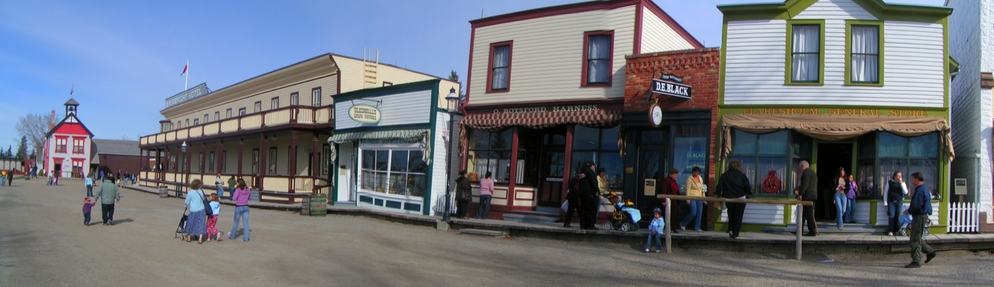
Honesty note. This page uses only the general Calgary, seasonal, Alberta-wildlife and day-trip photography from the site's shared library. Nothing here is presented as a photograph of Cedarbrae itself.