
Live in Vista Heights
A 1962 inner-city community pressed between Deerfoot Trail and the airport's industrial lands, with a city-owned golf course inside its own boundaries.
The land under Vista Heights was annexed by the City of Calgary in 1910, but it sat undeveloped for half a century until the Crossroads Community Association was registered in 1961 and the community itself followed in 1962. At 1.0 km² it is one of the smaller communities on this site, and one of the closest to downtown of any community north of the river — a fact the community's own promotional material still leans on, calling out its views of both the Rockies and the skyline. This is what living here is actually like.
Pressed against the airport lands, with a golf course inside its own boundaries
Bounded north by McKnight Boulevard, east by Barlow Trail, south by Memorial Drive, and west by Deerfoot Trail, with the South Airways Industrial Area pressed against the community's north and east edges. Ward 5.
The land under Vista Heights was annexed by the City of Calgary in 1910, but it sat undeveloped for half a century. The Crossroads Community Association was registered in 1961 to serve the future communities of Vista Heights, Mayland Heights and Belfast, and Vista Heights itself was established in 1962 as real estate development finally reached the flat land south of the airport.
At 1.0 km² it is one of the smaller communities on this site. Deerfoot Trail forms the western boundary, McKnight Boulevard the northern one, Barlow Trail the eastern one and Memorial Drive the southern one — with the South Airways Industrial Area pressed directly against the community's north and east edges.
Housing mix. Vista Heights built out as bungalows and row housing, and rental housing sits at 47% — high for a community of this age. Median household income was $51,370 as of 2000, with 25.4% low income and 18.6% immigrants.
The one genuine amenity of its own. McCall Lake Golf Course, a city-owned 18-hole and par-3 course with a driving range, sits inside the community's own boundaries — not many inner-city communities on this site can say that.
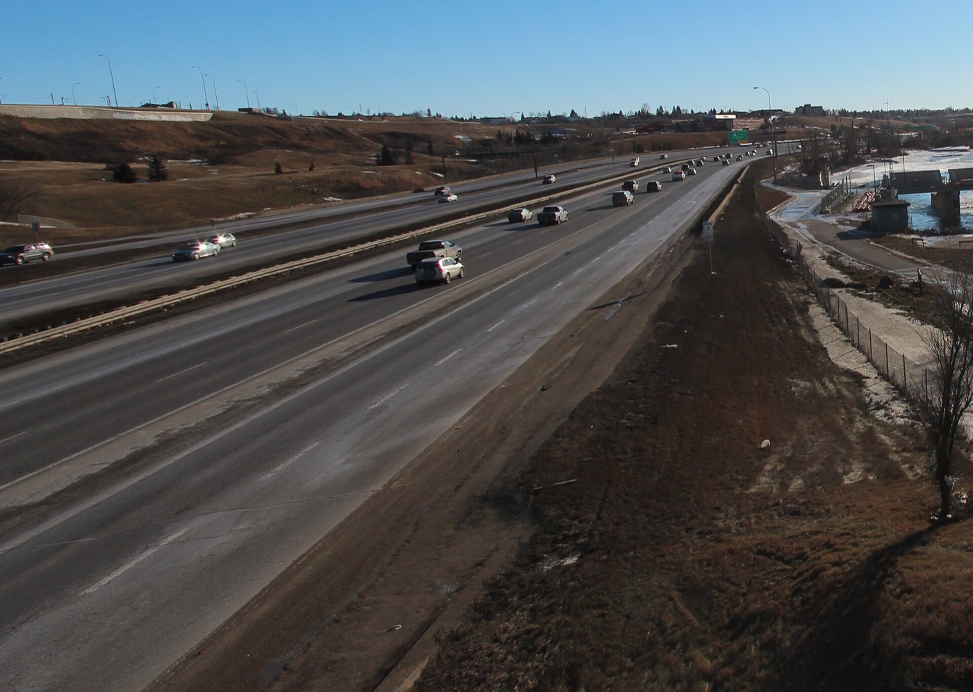
- Homes are around sixty years old — original roofs, windows, furnaces and electrical panels are at or past design life
- Aluminum wiring and knob-and-tube were both still possible in this era; have it inspected specifically
- The South Airways Industrial Area borders the community on two sides — go and listen at different times of day
- Flight paths in and out of Calgary International Airport are a real and constant consideration this close
- Rental housing runs at 47%, well above most 1960s communities, which means more turnover
- No CTrain station sits inside the community; Rundle Station is a short bus or drive away
How Vista Heights got here
- 1910The land is annexed by the City of Calgary, decades before any part of the community is built.
- 1961The Crossroads Community Association is registered on August 10, formed to serve the future communities of Vista Heights, Mayland Heights and Belfast.
- 1962Vista Heights is established and real estate development begins on the flat land south of the airport.
- 1960sBuild-out proceeds as bungalows and row housing, with the city-owned McCall Lake Golf Course laid out inside the community's own boundaries.
- 2000Median household income recorded at $51,370, with 25.4% of residents low income and 18.6% immigrants.
- 2011Municipal census counts 2,274 residents.
- 2012Municipal census counts 2,204 residents in 844 dwellings, a 3.1% decrease on 2011.
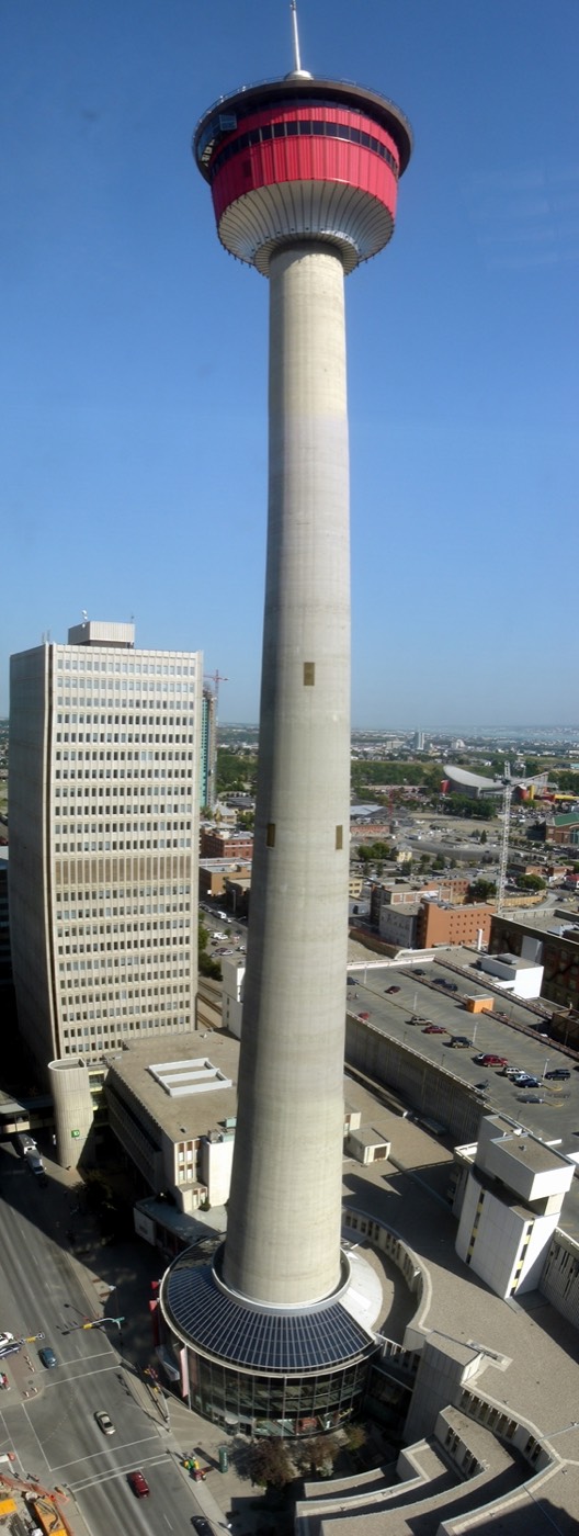


McCall Lake's course, and the zoo's river valley two minutes across the Deerfoot
There is no river valley inside Vista Heights itself — that comes from McCall Lake Golf Course, the city-owned 18-hole and par-3 course laid out inside the community's own boundaries, open to anyone who books a tee time. For genuine river valley and wildlife, the Calgary Zoo and St. George's Island sit seven to eleven minutes away, just across the Deerfoot on Memorial Drive.




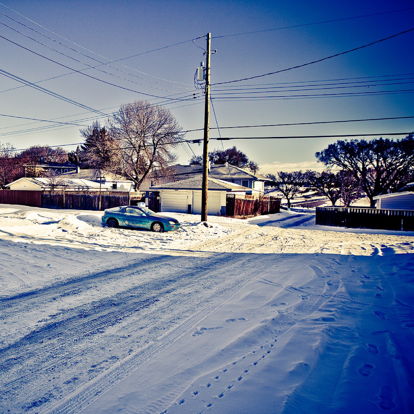
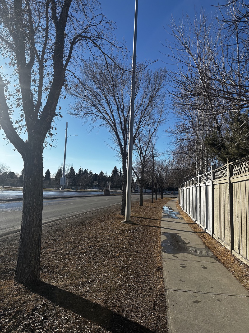
The resident's angle: a golf course inside your own community boundaries is a genuine rarity on this site, but it is not a substitute for parkland — there is no equivalent of Fish Creek or the Bow valley pathway system directly in Vista Heights. Prairie Winds Park, one of the northeast's big civic parks, is eleven to fifteen minutes northeast for playing fields and a spray park.
20 places, with real drive times
Road-adjusted distance and drive time from the centre of the community to each destination, nearest first. Filter by category.
Showing 1–12 of 20 places, nearest first.
Method: distances and drive times are estimated from the centre of the community to each destination using Calgary's road grid, and are rounded to honest ranges rather than presented as precise figures. Vista Heights' numbers are unusual for the northeast: the zoo, downtown and the airport are all closer than from almost any other community on this site, because this is an inner-city address rather than an edge one.
Every gym within reach
The northeast is served by large civic facilities and a small cluster of chain gyms near Sunridge, rather than a dense private-club scene. Confirm hours before you count on any of them.
- Genesis Centre is the quadrant's larger hub: gymnasiums, fitness centre, indoor courts and programming
- Anytime Fitness and GoodLife both sit in the Sunridge retail area, six to nine minutes away
- The community's own McCall Lake pathways are the free option, two to four minutes from anywhere in Vista Heights
- Peter Lougheed Centre's grounds and the Bow River pathway near the zoo are both an option for a longer walk or run
| Facility | What it is | Drive |
|---|---|---|
| Village Square Leisure Centre open | Wave pool, arena, fitness space, gymnasium and a library branch under one roof. | 10–15 min |
| Genesis Centre open | The northeast's anchor recreation facility: gymnasiums, fitness centre, indoor courts and community programming. | 13–18 min |
| Anytime Fitness — Rundle/Sunridge open | 24-hour chain gym in the Sunridge retail area, the closest paid option to the community. | 6–9 min |
| GoodLife Fitness — Sunridge open | National chain club near Sunridge Mall. | 6–9 min |
| McCall Lake pathways open | Free option: the golf course's public pathways and the community's own green space. | 2–4 min |
McCall Lake is seasonal. The golf course and driving range close for winter, so the free option shrinks to the community's own streets and pathways for several months of the year.
One elementary inside the community, and a junior high a short drive away
Vista Heights School serves the community for public K–6, and St. Clement School serves the Catholic side along with the neighbouring Crossroads communities of Mayland Heights and Belfast. Sir John Franklin is the designated public junior high, outside the boundaries, and senior high designations for both boards sit further out again.
| School | Board | Note |
|---|---|---|
| Vista Heights School | Calgary Board of Education | Public K–6 school inside the community. |
| St. Clement School | Calgary Catholic | Catholic elementary serving the Crossroads communities — Vista Heights, Mayland Heights and Belfast. |
| Sir John Franklin Junior High | Calgary Board of Education | Designated public junior high for the Crossroads communities, outside the boundaries — confirm the current designation with the board. |
| Junior and senior high designations | Both boards | Designated senior highs for both boards sit outside the community. Confirm the current designation for a specific address with the board before you buy. |
| Calgary Catholic School District | Calgary Catholic | Alberta funds Catholic education the same way it funds public education, so there is no tuition for a resident student at either board. |
Alberta funds Catholic education the same way it funds public education, so there is no tuition for a resident student at either board. Confirm the current junior and senior high designations for a specific address with the board before you buy — northeast designations have shifted before as enrolment moves across the quadrant.
Month by month, what living here looks like
Not a highlights reel — the actual annual rhythm, including the dates residents have to remember.
- McCall Lake's course is closed for the season; the driving range sometimes stays open on mild days
- Route 33 and Barlow Trail keep running through snow — priority routes to Rundle Station
- Chinooks reach the northeast later and weaker than the west side of the city
- Village Square's arena and pool carry the indoor season
- The Zoo shifts to winter hours; check ahead on the coldest days
- Coldest stretches usually break with a chinook
- Peter Lougheed Centre's access roads get priority snow clearing
- Indoor recreation at Village Square and Genesis Centre is at its busiest
- Melt and refreeze on side streets throughout the community
- McCall Lake's driving range typically reopens late in the month
- Prairie wind picks up as the snow goes
- Sunridge Mall's parking lots are the last surfaces in the area to clear of ice
- McCall Lake Golf Course opens for the season, weather permitting
- Last hard frosts — planting waits until the long weekend
- Migratory birds return to the Bow River near the zoo
- Playing fields dry out at Prairie Winds Park
- Full 18-hole play resumes at McCall Lake
- Long evenings — sunset past 9pm by month end
- The Zoo's spring baby animals are a seasonal draw a few minutes west
- Hail season begins — the northeast gets more than its share
- Peak daylight at the solstice — over 16 hours
- School year ends at Vista Heights School
- Telus Spark and the Zoo both extend summer hours
- Thunderstorm season is fully under way
- Calgary Stampede — ten days, about fifteen minutes southwest
- McCall Lake's course and driving range see their heaviest play of the year
- Evening thunderstorms roll in from the west
- Airport traffic overhead builds with the summer travel season
- The Zoo and Telus Spark are busiest as summer camps wind down
- Quietest weeks before school returns
- Retail traffic near Sunridge builds along McKnight Boulevard and Barlow Trail
- Hottest month, with little shade across the community's flat streets
- School year restarts at Vista Heights School and St. Clement
- First frost typically arrives late in the month
- Sunridge Mall busiest with back-to-school shopping
- McCall Lake's course quiets down as the season turns
- Boo at the Zoo runs on weekends, a short drive across the Deerfoot
- First snow is normal, and normally melts
- Snow tires go on
- McCall Lake's course closes for the season by month end
- Dark by 5pm
- Indoor recreation season restarts at Village Square and Genesis Centre
- Sunridge holiday retail season begins
- Freeze sets in early on the community's low-lying stretches
- Zoolights at the Calgary Zoo, a short drive across Memorial Drive
- Holiday quiet across the community
- McCall Lake's driving range closes through the coldest stretch
- Chinooks, when they come, arrive late and weak here
36 photographs of the community and its surroundings
All freely licensed and served from this app — nothing loads from a third party. Filter by category.






Showing 1–12 of 36 photographs.
Honesty note. This page uses only the general Calgary, seasonal, Alberta-wildlife and transit photography from the site's shared library — the Fish Creek and Midnapore-specific images used on the southeast pages are deliberately excluded, because this community sits in the inner northeast and those are not its surroundings. Nothing here is presented as a photograph of Vista Heights itself.