Live in Mayland Heights
An inner-city northeast community on the escarpment above the Bow River, wedged between Deerfoot Trail and Barlow Trail, a few minutes from the Calgary Zoo.
Mayland Heights was annexed to the City of Calgary in 1910 as rural land and established as a community under its current name in 1962 — before that, the area was known locally as Crossroads. It sits on the escarpment above the Bow River valley, directly across from Bridgeland and within a few minutes of the Calgary Zoo, with Deerfoot Trail forming its western edge and the Trans-Canada Highway its northern one. At the last municipal count the community held roughly 6,357 residents in 2,723 dwellings, with condominiums and apartments making up about 27% of the housing stock — a genuine mix rather than an outlier in either direction. This is what living here is actually like.
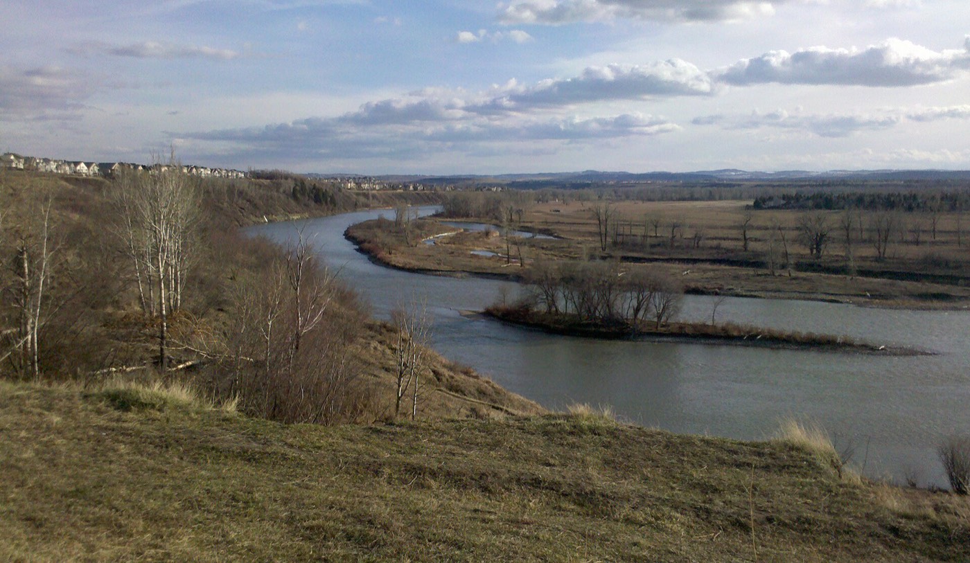
The escarpment above the Bow, framed by two highways
Bounded north by the Trans-Canada Highway, east by Barlow Trail, south by Memorial Drive, and west by Deerfoot Trail. Ward 10.
Mayland Heights was annexed to Calgary in 1910 as rural acreage and only established as a community under its current name in 1962 — before that, it was known locally as Crossroads. It absorbed the small former neighbourhood of Belfast in its northwest corner as build-out proceeded through the 1960s.
It sits on the escarpment above the Bow River, directly across from Bridgeland, with Deerfoot Trail forming the western boundary, the Trans-Canada Highway the northern one, Barlow Trail the eastern one and Memorial Drive the southern one. The Calgary Zoo sits just across the river, a few minutes away.
Housing mix. Condominiums and apartments made up about 27% of the housing stock at the 2011 count, with 49% rental — a genuine mix rather than the near-uniform low-rise stock seen in some other northeast communities. Median household income was $61,339, with 12% low income.
Who lives here. 17% of residents were immigrants at the 2011 count, and the community has long been known for a sizeable Italian population. The 2014 municipal census recorded 6,357 residents in 2,723 dwellings, a 9% increase over the 2011 population of 5,830.
- Homes are mostly 1960s-era — original roofs, windows, furnaces and electrical panels are at or past design life
- Aluminum wiring was still being used in Alberta in this era; have it inspected specifically
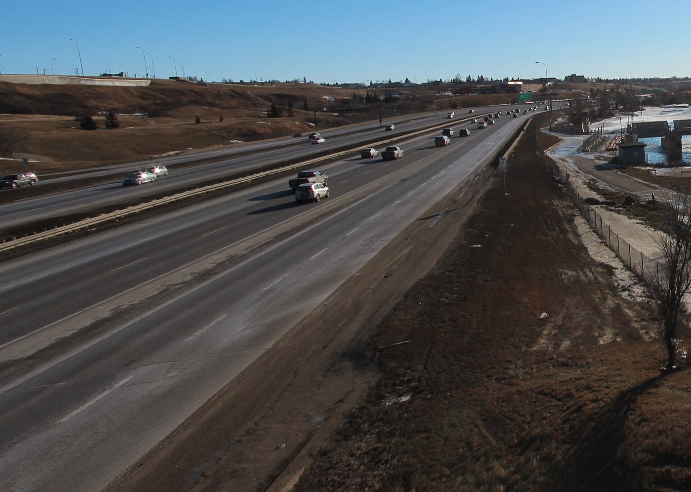
- Bounded by Deerfoot Trail on one side and the Trans-Canada on the other — go and listen at different times of day
- Streets on the escarpment slope have real grade; check a specific address in winter
- Family Foods is the only grocery store inside the boundaries; the community's Scotiabank branch closed in 2020
- The Calgary Zoo and TELUS Spark are genuinely a few minutes away, which is unusual this close to downtown
How Mayland Heights got here
- 1910Land later making up Mayland Heights is annexed to the City of Calgary as rural acreage.
- 1962The community is established under its current name — it had been known locally as Crossroads before that.
- 1960sBuild-out proceeds along the escarpment above the Bow River, absorbing the small former neighbourhood of Belfast in the northwest corner.
- 1991Tom Campbell's Hill Natural Park is created on the escarpment immediately south, shared with neighbouring Bridgeland.
- 2011Federal census records median household income at $61,339, with 49% of housing rented, 27% condominiums or apartments, and 17% of residents immigrants.
- 2014Municipal census counts 6,357 residents in 2,723 dwellings, a 9% increase over the 2011 population of 5,830.
- 2020The community's Scotiabank branch closes, leaving Family Foods as the nearest everyday grocery inside the boundaries.
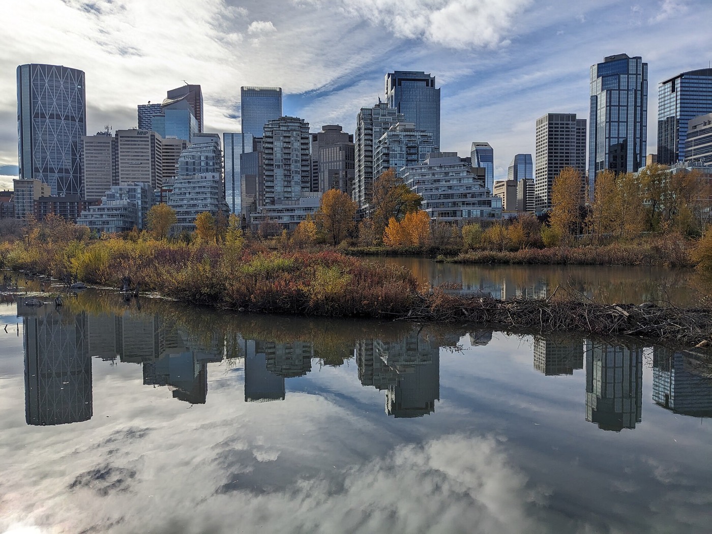

Tom Campbell's Hill, and the Bow River valley below it
The community's real open-space advantage is Tom Campbell's Hill Natural Park, a few minutes away on the escarpment shared with Bridgeland — trails, skyline views over downtown and a direct look down onto the Bow River valley. It is the nearest genuine hiking on this site.




The resident's angle: the Calgary Zoo and TELUS Spark sit just across the river, both a five-to-eight-minute drive — an amenity most inner-city communities do not have this close. The trade-off is that the same terrain means real grade on some streets, and a park rather than a lake or a river valley of your own.

21 places, with real drive times
Road-adjusted distance and drive time from the centre of the community to each destination, nearest first. Filter by category.
Showing 1–12 of 21 places, nearest first.
Method: distances and drive times are estimated from the centre of the community to each destination using Calgary's road grid, and are rounded to honest ranges rather than presented as precise figures. Being an inner-city community, most destinations here are closer than on the outer-ring pages on this site — downtown, the Zoo and the airport are all unusually short drives.
Every gym within reach
The nearest full facility is a city arena rather than a private club, with a chain gym across the escarpment in Bridgeland as the closest paid option. Confirm hours before you count on any of them.
- Anytime Fitness in Bridgeland is the closest paid gym, six to nine minutes away across the escarpment
- Village Square Leisure Centre adds a wave pool, arena, fitness space and library, nine to thirteen minutes west
- Genesis Centre is the quadrant's larger hub: gymnasiums, fitness centre, indoor courts and programming
- Tom Campbell's Hill's trails are the free option, three to five minutes away
| Facility | What it is | Drive |
|---|---|---|
| Max Bell Centre open | Twin arenas and community recreation space along Barlow Trail — the closest full facility. | 6–9 min |
| Anytime Fitness — Bridgeland open | 24-hour access chain club on 9 Street NE, just across the escarpment in Bridgeland. | 6–9 min |
| GoodLife Fitness — Sunridge open | National chain club near Sunridge Mall. | 8–12 min |
| Village Square Leisure Centre open | Wave pool, arena, fitness space, gymnasium and a library branch under one roof. | 9–13 min |
| Genesis Centre open | The northeast's anchor recreation facility: gymnasiums, fitness centre, indoor courts and community programming. | 11–15 min |
| Tom Campbell's Hill pathways open | Free option: escarpment trails above the Bow River, shared with Bridgeland. | 3–5 min |
Confirm current hours. Chain locations and class schedules change; call ahead before planning a membership around any specific facility listed here.
One elementary inside the community, and a designated high school across the river
Mayland Heights School serves the community for public elementary, with a French immersion option. Crescent Heights High School is the designated senior high, southwest across the Bow River. No Catholic elementary sits inside the community; the nearest options are in neighbouring Bridgeland.
| School | Board | Note |
|---|---|---|
| Mayland Heights School | Calgary Board of Education | Public elementary inside the community, K–6, with a French immersion program. |
| Crescent Heights High School | Calgary Board of Education | Designated public senior high for Mayland Heights, southwest across the Bow River. |
| Junior high designation | Calgary Board of Education | Not confirmed in public boundary documents for this guide. Confirm the current junior high designation for a specific address with the board before you buy. |
| Calgary Catholic School District | Calgary Catholic | No Catholic elementary sits inside Mayland Heights; St. Angela School in neighbouring Bridgeland and other inner-city CCSD schools serve the area. Confirm the current designation for a specific address with the district. |
| SAIT and Bow Valley College | Post-secondary | Nearest post-secondary options, both a short drive southwest. |
Alberta funds Catholic education the same way it funds public education, so there is no tuition for a resident student at either board. Confirm the current junior high designation for a specific address with the Calgary Board of Education before you buy — this guide could not confirm it from public boundary documents.
Month by month, what living here looks like
Not a highlights reel — the actual annual rhythm, including the dates residents have to remember.
- Chinooks reach this inner-city escarpment sooner than the far northeast, so cold snaps tend to break faster here
- Tom Campbell's Hill's trails ice up, but the skyline and Bow River view over Bridgeland still draws walkers
- Deerfoot Trail and the Trans-Canada, the community's own boundaries, both get priority plowing
- Zoolights runs at the Calgary Zoo through early January, a short drive down the escarpment
- Family Day long weekend brings crowds to the Zoo and TELUS Spark, both minutes away
- Ice builds on the north-facing slope below Tom Campbell's Hill
- Coldest stretches usually break with a chinook off the escarpment
- Max Bell Centre's arenas carry the indoor season
- Melt and refreeze on Maunsell Drive and the community's other escarpment streets
- Tom Campbell's Hill's trails turn to mud before the rest of the park dries out
- Spring break sends families to TELUS Spark and the Zoo
- First bare pavement appears on Deerfoot Trail's shoulders
- Migratory birds return to the Bow River flats below Tom Campbell's Hill
- The Zoo's spring exhibits reopen for the season
- Last hard frosts before planting
- Mayland Heights School's playground fills again after the thaw
- Long evenings on the escarpment pathways — sunset past 9pm by month end
- Hail season begins — the northeast gets more than its share
- Community league and school field sport seasons start
- Wildflowers come out on Tom Campbell's Hill's south-facing slope
- Peak daylight at the solstice — over 16 hours
- School year ends at Mayland Heights School
- Thunderstorm cells build visibly over the escarpment before they cross the city
- The Zoo and TELUS Spark fill with school groups finishing the year
- Calgary Stampede — ten days, about ten to fifteen minutes southwest via Memorial Drive
- The Zoo and TELUS Spark run at peak summer crowds
- Evening thunderstorms roll in from the west, visible early from the escarpment
- Hottest month, with little shade on the exposed slope below Tom Campbell's Hill
- Globalfest fireworks at Elliston Park are sometimes visible from the escarpment's elevation
- Quietest weeks before school returns
- The Bow River runs at its lowest of the year below Tom Campbell's Hill
- Late-summer exhibits keep the Zoo busy
- School year restarts at Mayland Heights School
- First frost typically arrives late in the month
- Tom Campbell's Hill's aspens turn early on the exposed slope
- The Zoo and TELUS Spark quiet down after Labour Day
- First snow is normal, and normally melts
- Snow tires go on
- Traffic patterns on Deerfoot Trail and the Trans-Canada shift with shorter daylight
- Views from Tom Campbell's Hill open up as the leaves drop
- Dark by 5pm
- Indoor recreation season restarts at Max Bell Centre and Village Square
- Zoolights setup begins at the Calgary Zoo
- Freeze sets in on the Bow River shallows below the escarpment
- Zoolights runs nightly at the Calgary Zoo, a short drive down the escarpment
- Holiday quiet across the community
- Chinooks, when they come, reach this inner-city slope sooner than the far northeast
- Tom Campbell's Hill's trails pack down with snow but stay walkable
36 photographs of the community and its surroundings
All freely licensed and served from this app — nothing loads from a third party. Filter by category.







Showing 1–12 of 36 photographs.
Honesty note. This page uses only the general Calgary, seasonal, Alberta-wildlife and day-trip photography from the site's shared library — the Fish Creek and south-Calgary-specific images used on the southwest pages are deliberately excluded, because they are not this community's surroundings. Nothing here is presented as a photograph of Mayland Heights itself.