Northwest Calgary communities
The northwest is one part of Calgary's address grid, but its communities span different eras, housing patterns and connections to parks, employment and transit. Compare the guides below.
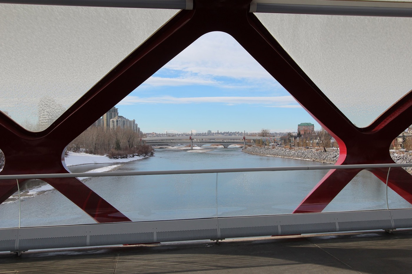
Arbour Lake
The northwest's only lake community — ten acres of water, Crowfoot Crossing and the Red Line terminus.
Explore Arbour Lake →Banff Trail
A 1952 inner-city community wedged between the University of Calgary, SAIT and its own CTrain station.
Explore Banff Trail →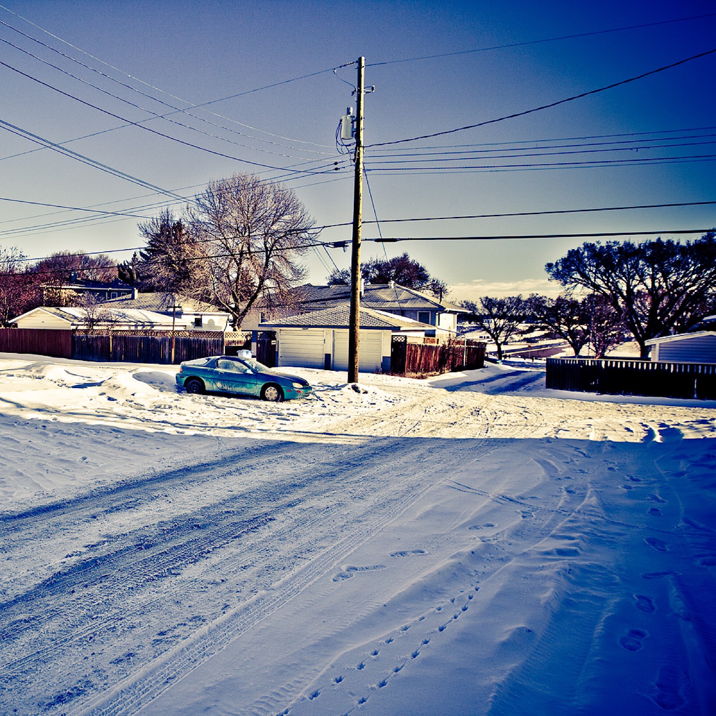
Beddington Heights
A 1979 community of 11,500 on the Centre Street corridor, with Nose Hill Park minutes west.
Explore Beddington Heights →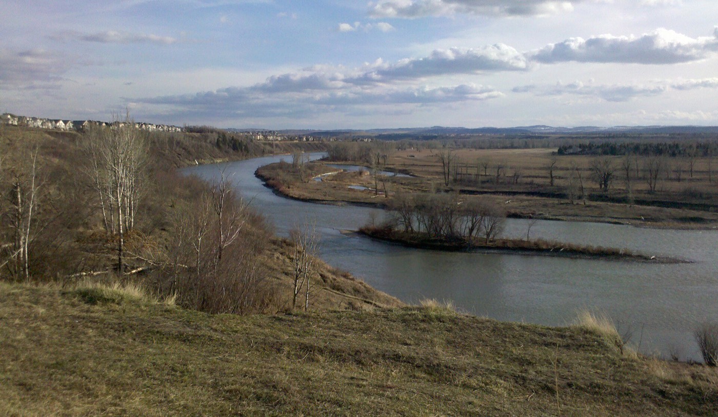
Bowness
A former town on the Bow, annexed in 1964, with the city's best-loved riverside park and its own main street.
Explore Bowness →
Brentwood
A 1960 community with its own Red Line station, two malls, a library and the quadrant's best-known high school.
Explore Brentwood →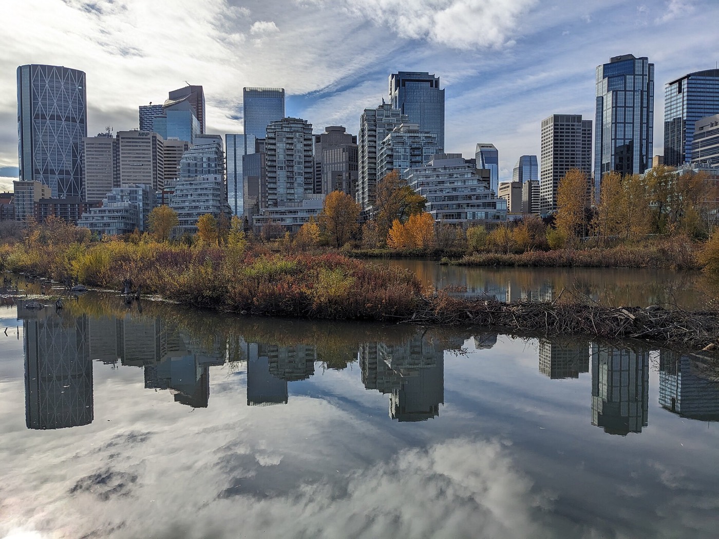
Briar Hill
A small 1953 community on the hill above Kensington — SAIT, a CTrain station and downtown ten minutes away.
Explore Briar Hill →
Cambrian Heights
The smallest community on this site — 0.9 km² of 1957 streets between Nose Hill and Confederation Park.
Explore Cambrian Heights →
Capitol Hill
A 1948 inner-city community, majority rental and rebuilding fast, with Confederation Park on its edge.
Explore Capitol Hill →
Carrington
A brand-new far-north community on the Rotary/Mattamy Greenway — 2,750 residents in 2021 and still building.
Explore Carrington →Charleswood
A settled 1959 community on the slopes between Nose Hill and the university — the quietest of the originals.
Explore Charleswood →
Citadel
A 1993 community at the city's highest corner — strong incomes, Stoney Trail on two edges, Crowfoot next door.
Explore Citadel →Collingwood
A 1959 community with Nose Hill across one boundary and Confederation Park's golf course across the other.
Explore Collingwood →Country Hills
A 1990 community above West Nose Creek, beside its golf club, with Vivo minutes away.
Explore Country Hills →Country Hills Village
A compact condo community around a public pond, with cinema, groceries and services within a walk.
Explore Country Hills Village →Coventry Hills
One of Calgary's most populous communities — nearly sixteen thousand residents and a K–12 ladder inside it.
Explore Coventry Hills →Crescent Heights
A former village on the bluff across the Bow from downtown, with the city's definitive skyline viewpoint.
Explore Crescent Heights →Dalhousie
A 1967 community on the slope with its own Red Line station and the shopping to match.
Explore Dalhousie →Edgemont
Nearly sixteen thousand residents over ravines on Nose Hill's shoulder — prosperous and genuinely international.
Explore Edgemont →Evanston
Symons Valley's biggest build-out, growing since the mid-2000s along the West Nose Creek ravine.
Explore Evanston →Glacier Ridge
One of Calgary's newest communities — 832 acres, 6,000 homes planned, and almost everything still arriving.
Explore Glacier Ridge →Hamptons
A 1989 golf-course community on the 1,245-metre plateau with the quadrant's strongest suburb incomes.
Explore Hamptons →Harvest Hills
A 1987 community around its pond, with the old golf course's redevelopment still reshaping its middle.
Explore Harvest Hills →Hawkwood
A 1981 community on the ridge above Crowfoot, named for the dairy farm that came before it.
Explore Hawkwood →Hidden Valley
Nearly twelve thousand residents in the far-north family loop, with K–9 schools inside it.
Explore Hidden Valley →Highland Park
A 1946 corridor community — the city's cheapest close-in land, waiting on a golf-course rebuild and a train.
Explore Highland Park →Highwood
A 0.9 km² 1954 community whose Mandarin bilingual schools draw from across the city.
Explore Highwood →
Hillhurst
Kensington's home community — Riley Park, the Bow, and the inner city at its most walkable.
Explore Hillhurst →Huntington Hills
Thirteen thousand people between Nose Hill and Nose Creek, with six schools and the Thornhill pool inside.
Explore Huntington Hills →Kincora
Symons Valley's Irish-themed community, threaded by the Kincora Glen ravine.
Explore Kincora →Livingston
Brookfield's flagship at the city's northern tip — the Hub open, a town centre planned, 30,000 intended.
Explore Livingston →MacEwan Glen
A 1978 community named for Grant MacEwan, with Nose Hill Park as its southern boundary.
Explore MacEwan Glen →Montgomery
A former town on the Bow's big bend — annexed 1963, rebuilding fast, with Shouldice Park at its foot.
Explore Montgomery →Mount Pleasant
A 1912 community wrapped by Confederation Park, with its own outdoor pool and arena.
Explore Mount Pleasant →North Haven
A small 1963 community in two halves on Nose Hill's sheltered southeast slope.
Explore North Haven →Panorama Hills
Calgary's most populous community — 25,710 residents with a residents-association fee on title.
Explore Panorama Hills →Parkdale
A 1948 riverside community between the Bow and the hospitals, rebuilding cottage by cottage.
Explore Parkdale →Point McKay
A 1970s planned riverside enclave — towers and townhomes fronting the Bow pathway.
Explore Point McKay →
Queens Park Village
A small, entirely-rental pocket in Highland Park's southeast corner, pressed against the 55-hectare Queen's Park Cemetery in Calgary's inner-city northwest.
Explore Queens Park Village →Ranchlands
A 1977 volunteer-powered community — twelve playgrounds, two dog parks and the Rink Rats' ice.
Explore Ranchlands →Rocky Ridge
A 1998 ridge community at 1,265 m, home to the giant Shane Homes YMCA.
Explore Rocky Ridge →Rosemont
Half a square kilometre of 1958 streets on Confederation Park's northern rim.
Explore Rosemont →Royal Oak
A complete 1997 high suburb — its own retail, schools close, the giant YMCA and the CTrain terminus nearby.
Explore Royal Oak →Sage Hill
Symons Valley's ravine community, wrapped around West Nose Creek with its big-box district at the corner.
Explore Sage Hill →Sandstone Valley
A 1982 community beside Nose Hill — 36% immigrant at the 2000 count, settled and steady since.
Explore Sandstone Valley →Scenic Acres
A 1981 rim community with the strongest incomes in the established northwest — the name is accurate.
Explore Scenic Acres →Sherwood
Symons Valley's quiet quarter — community garden, multicultural festival, Costco at the shoulder.
Explore Sherwood →Silver Springs
A 1972 community above Bowmont Park with volunteer-built botanical gardens and its own golf course.
Explore Silver Springs →St. Andrews Heights
A small 1953 bluff community with the Foothills hospital in its corner and the river below.
Explore St. Andrews Heights →Sunnyside
A 1904 community on the Bow's north bank, built around the Kensington shop strip and hit hard enough by the 2013 flood to be fully evacuated.
Explore Sunnyside →Symons Valley
Not a finished community — the valley district the new northwest is still being carved from.
Explore Symons Valley →Thorncliffe
A 1954 community from Nose Hill to Nose Creek, powered by one of the city's biggest associations.
Explore Thorncliffe →Tuscany
Nearly twenty thousand residents with their own CTrain terminus, club, schools and wilderness coulee.
Explore Tuscany →University District
The university's west campus lands rebuilt as a walkable district — with a 99-year leasehold twist.
Explore University District →University Heights
A small 1963 community wedged between the campus, McMahon and two hospitals — two-thirds rental.
Explore University Heights →University of Calgary
The campus as a community district — residences, the Olympic Oval, and an address you apply for.
Explore University of Calgary →Valley Ridge
A 1992 golf-course community on the Bow's valley floor — the last Calgary address before the mountains.
Explore Valley Ridge →Varsity
Three communities wearing one name — Acres, Village and Estates, with Market Mall and Bowmont between.
Explore Varsity →West Hillhurst
A 1945 community built from Victory Homes, with its own rec centre and the Bow pathway at the door.
Explore West Hillhurst →