Live in Renfrew
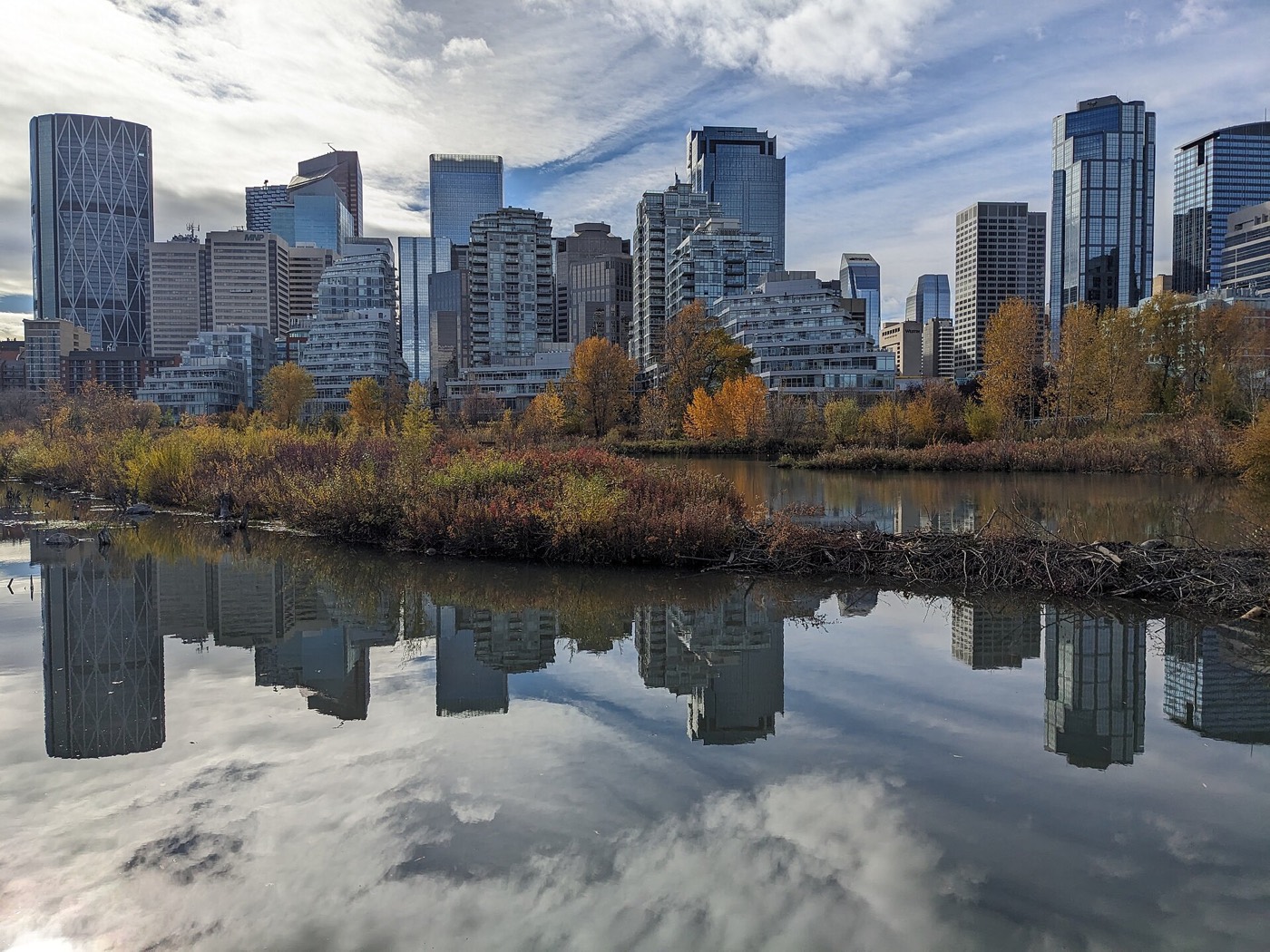
An inner-city community north of Bridgeland, built for veterans after the Second World War, with Tom Campbell's Hill and a downtown skyline view as its backyard.
Renfrew was established in 1950 on the site of a wartime RCAF training base and airfield, built primarily as housing for veterans and their families before Calgary's municipal airport relocated north. It is one of the oldest and most central communities on this site — 37% of its dwellings were already standing by 1960 — and at the 2021 census it held 6,580 residents in 3,245 dwellings, with renters making up 43% of households. This is what living here is actually like.
A veterans' community, one hill away from downtown
Bordered north by the Trans-Canada Highway (16 Avenue N), east by Deerfoot Trail, south by the Bow River escarpment above Bridgeland, and west by Edmonton Trail. Ward 9.
Renfrew was established in 1950, built primarily as housing for returning veterans and their families on land that had spent the Second World War as an RCAF training base and airfield — Calgary's municipal airport itself sat here before it relocated north to its present site.
It is an inner-city community with hard-edged boundaries: the Trans-Canada Highway to the north, Deerfoot Trail to the east, the Bow River escarpment above Bridgeland to the south, and Edmonton Trail to the west.
Housing mix. This is old housing stock by Calgary standards: 37% of dwellings recorded in the 2021 census date to 1960 or earlier. Renters make up 43% of households, well above the citywide 31%, and median household income was $96,000 in 2020.
Who lives here. The 2021 census counted 6,580 residents in 3,245 dwellings, with 19% immigrants and an average household size of two people — a smaller, older-skewing population than the newer suburbs, consistent with a community built for postwar veterans and never since expanded.
- 37% of homes predate 1960 — original plumbing, wiring and foundations are a real inspection item
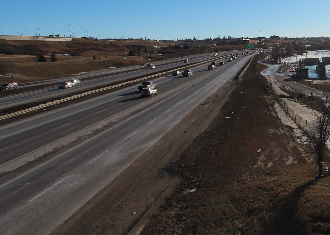
- Deerfoot Trail and the Trans-Canada bound two sides of the community — go and listen at different times of day
- No CTrain station inside the community; Bridgeland/Memorial is the nearest, a walk or short drive south
- Renter households sit at 43%, well above the citywide average — expect more turnover than in a purely owner-occupied community
- Lots and original layouts are narrow by current standards — check R-CG zoning and infill rules for a specific address
- The escarpment above Bridgeland means real elevation change, not flat blocks throughout
How Renfrew got here
- 1940sA Royal Canadian Air Force training base and airfield operates on the site during the Second World War, before Calgary's municipal airport relocates north to its present location.
- 1950Renfrew is established as a community, built primarily as postwar housing for returning veterans and their families.
- 1950s–60sBuild-out proceeds quickly on the former airfield land; 37% of the community's dwellings recorded in the 2021 census still date to 1960 or earlier, among the oldest housing stock in the northeast.
- 2000Median household income recorded at $47,692, with 18.4% of residents immigrants and 40.9% of housing rented.
- 2012City of Calgary municipal census counts 5,846 residents in 3,231 dwellings, a 3.1% increase on 2011.
- 2014Avenue Magazine ranks Renfrew No. 22 on its "50 Best Neighbourhoods" list.
- 2021Federal census records 6,580 residents in 3,245 dwellings, median household income at $96,000, and renter households at 43% — well above the citywide 31%.

Tom Campbell's Hill, Confederation Park, and the Bow River one hill away
Tom Campbell's Hill Natural Park sits inside the community itself — an off-leash natural area with a 270° view over downtown. Confederation Park, with its golf course and cross-country ski trails, is a short drive northwest, and the Bow River Pathway is reached on foot or by bike through Bridgeland.
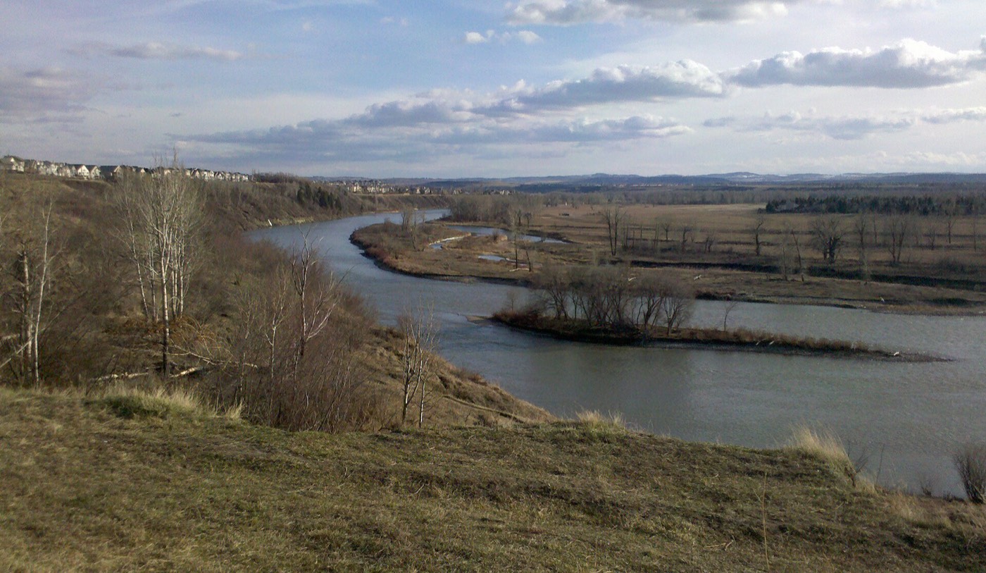



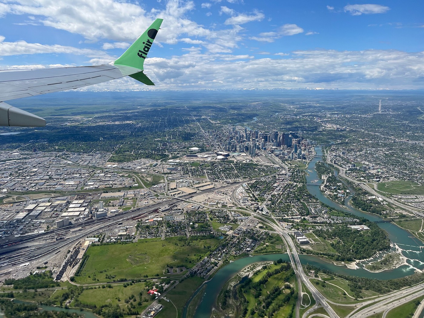
The resident's angle: few Calgary communities pair a downtown skyline view with a genuine off-leash hillside the way Renfrew does — Tom Campbell's Hill is a five-minute walk from most of the community, not a drive.
22 places, with real drive times
Road-adjusted distance and drive time from the centre of the community to each destination, nearest first. Filter by category.
Showing 1–12 of 22 places, nearest first.
Method: distances and drive times are estimated from the centre of the community to each destination using Calgary's road grid, and are rounded to honest ranges rather than presented as precise figures. Renfrew's numbers are lopsided by design: downtown, Deerfoot Trail and the CTrain are all unusually close, and the mountains are still a full crossing of the city away.
Every gym within reach
Renfrew is served by its own city-run recreation centre and arenas rather than a cluster of private clubs, with downtown's commercial gyms a short drive south. Confirm hours before you count on any of them.
- Stew Hendry and Henry Viney Arenas add twin community ice surfaces at Renfrew Athletic Park
- Village Square Leisure Centre is the northeast's larger civic hub, fourteen to nineteen minutes away
- Downtown's commercial gyms and studios are a seven-to-ten-minute drive south
- Tom Campbell's Hill and the Bow River pathway are the free options
| Facility | What it is | Drive |
|---|---|---|
| Renfrew Aquatic & Fitness Centre open | City-run indoor pool, fitness centre and gymnasium inside the community. | 1–3 min |
| Stew Hendry & Henry Viney Arenas open | Twin community arenas at Renfrew Athletic Park. | 2–3 min |
| Tom Campbell's Hill pathways open | Free option: off-leash trails and a hill climb with a 270° city view. | 1–2 min |
| Bow River pathway via Bridgeland open | Free option: the paved river pathway, reached on foot or by bike through Bridgeland. | 5–7 min |
| Downtown fitness clubs open | Commercial gyms and studios downtown, a short drive south. | 7–10 min |
| Village Square Leisure Centre open | Wave pool, arena, fitness space and a library branch, northeast in Marlborough Park. | 14–19 min |
Check current hours. City-run facilities adjust hours seasonally and around maintenance closures — confirm before you build a routine around any single one.
Three schools inside the community, high school outside it
Colonel Macleod School serves the community for public junior high and Stanley Jones School serves public K–6, alongside Stanley Jones's wider Crescent Heights and Bridgeland-Riverside catchment. St. Alphonsus Elementary/Junior High serves the Catholic side. Senior high, for both boards, means a bus or a drive.
| School | Board | Note |
|---|---|---|
| Colonel Macleod School | Calgary Board of Education | Public junior high, grades 7–9, inside the community. |
| Stanley Jones School | Calgary Board of Education | Public K–6 community school serving Renfrew, Crescent Heights and Bridgeland-Riverside. |
| Crescent Heights High School | Calgary Board of Education | Designated public senior high, serving Renfrew along with a wide swath of the inner northeast. |
| St. Alphonsus Elementary/Junior High School | Calgary Catholic | Catholic elementary and junior high inside the community. |
| Designated Catholic senior high | Calgary Catholic | The designation sits outside the community boundaries. Confirm the current senior high assignment for a specific address with the board before you buy. |
| SAIT | Post-secondary | Nearest post-secondary campus, west along 16 Avenue N. |
Alberta funds Catholic education the same way it funds public education, so there is no tuition for a resident student at either board. Confirm the current senior high designation for a specific address with the board before you buy — inner-city boundaries shift as enrolment moves between schools.
Month by month, what living here looks like
Not a highlights reel — the actual annual rhythm, including the dates residents have to remember.
- Renfrew's Ukrainian churches mark Orthodox Christmas on January 7, a real date on the community's calendar
- Tom Campbell's Hill holds packed snow on its slopes for weeks at a time
- Stew Hendry and Henry Viney Arenas run a full indoor skating schedule
- Chinooks reach the escarpment fast — this inner-city address clears earlier than the outskirts
- Family Day programming fills the Renfrew Aquatic & Fitness Centre
- Tobogganing on Tom Campbell's Hill's south slope
- Ice on the escarpment stairs and paths needs care after a freeze-thaw cycle
- Community arenas at their busiest before spring registration opens
- Melt and refreeze on the older, narrower streets near the escarpment
- Bow River Pathway reopens fully through Bridgeland
- Confederation Park's cross-country ski trails close as the snow thins
- Renfrew Community Association opens spring program registration
- Renfrew Community Garden plots are assigned for the season
- Tom Campbell's Hill trails dry out and reopen to regular foot traffic
- Magpies nest along the escarpment's mature trees
- Renfrew Athletic Park's diamonds and fields are groomed for the coming season
- Ball and soccer seasons begin at Renfrew Athletic Park
- Bridgeland Market's first-Thursday farmers market moves back outdoors
- Long evenings — sunset past 9pm by month end
- May long weekend traffic builds on Deerfoot and the Trans-Canada
- Neighbour Day, city-wide, is hosted locally by the Renfrew Community Association
- School year ends at Colonel Macleod, Stanley Jones and St. Alphonsus
- Farm Stand Fridays start at the RCA hall on Radford Road
- Peak daylight at the solstice — over 16 hours
- Calgary Stampede — ten days, about ten minutes south
- Stampede Day programming at the Renfrew Community Association hall
- Farm Stand Fridays continue through the summer
- Afternoon heat is noticeably sharper on the escarpment's south-facing slope
- Bridgeland Market's monthly farmers market is at its busiest
- Late-summer ball tournaments run at Renfrew Athletic Park
- Quietest weeks before school returns
- Tom Campbell's Hill views of downtown are occasionally hazy on wildfire-smoke days
- School year restarts at Colonel Macleod, Stanley Jones and St. Alphonsus
- First frost typically arrives late in the month
- Renfrew Community Garden plots are harvested out
- Leaves turn early along the escarpment's tree line
- First snow is normal, and normally melts within a day or two
- Snow tires go on
- Halloween is a genuine walking-block event in a community this dense and this old
- Tom Campbell's Hill trails turn to mud before the ground firms up again
- Dark by 5pm
- Remembrance Day carries particular weight in a community built for returning veterans
- Indoor recreation season restarts at the arenas and the fitness centre
- Holiday lights start going up along Edmonton Trail's shop fronts
- Renfrew's Ukrainian churches prepare for Orthodox Christmas on January 7
- Community arenas run a full holiday skating schedule
- Holiday quiet across the community's older streets
- Chinooks, when they come, clear the escarpment quickly given its exposure
36 photographs of the community and its surroundings
All freely licensed and served from this app — nothing loads from a third party. Filter by category.








Showing 1–12 of 36 photographs.
Honesty note. This page uses only the general Calgary, seasonal, Alberta-wildlife and downtown photography from the site's shared library — the Fish Creek and south-Calgary-specific images used on the southern pages are deliberately excluded, because they are not this community's surroundings. Nothing here is presented as a photograph of Renfrew itself.