
Live in Elizabeth
Charlotte's second streetcar suburb, wrapped around a hospital and a college — the shortest walk to uptown of anywhere with front porches, and the only neighborhood the streetcar actually reaches.
Elizabeth is small, old and unusually complete. It was Charlotte's second streetcar suburb after Dilworth, developed from the 1890s and named for Elizabeth College, a women's college that stood where the hospital is now. What it kept is a walkable grid of bungalows and foursquares roughly a mile from uptown, with Charlotte's first public park — Independence Park, opened in 1905 — at its centre, a working hospital campus on one side and Central Piedmont Community College on the other. It is also the one Charlotte neighborhood with a streetcar again: the CityLYNX Gold Line runs along Elizabeth Avenue and Hawthorne Lane, and while it is slow and short, it is genuine fixed-route transit at the front door. The trade-off is that a hospital, a college and a streetcar produce traffic, parking pressure and institutional expansion — and the neighborhood has spent thirty years negotiating with all three.
A college, a hospital, a park and — again — a streetcar
Directly east of uptown across Independence Boulevard, bounded roughly by the Little Sugar Creek corridor to the west, Central Avenue and Plaza Midwood to the north, and Randolph Road and the Elizabeth Avenue campus strip to the south. Independence Park sits in the middle of it.
Elizabeth followed Dilworth as Charlotte's second streetcar suburb, developed from the 1890s on the hill east of town, and it took its name from Elizabeth College — a women's college that stood where the hospital does now. Presbyterian Hospital opened on the site in 1903 and never left; Independence Park, Charlotte's first public park, opened in 1905 at the centre of the new suburb. Both are still the defining features.
It is the one neighborhood with rail again. The CityLYNX Gold Line streetcar's second phase opened in 2021, running along Elizabeth Avenue and Hawthorne Lane. It is slow and it is short — this is a streetcar, not a metro — but it is fixed-route transit at the door, connecting to the Blue Line uptown, and no other Charlotte neighborhood on this site can say that.
What is inside the walk. Almost everything: Independence Park with its courts and rose garden, the restaurants on Elizabeth Avenue and Seventh Street, the Little Sugar Creek Greenway on the western edge running to uptown and Freedom Park, Central Piedmont Community College, and the hospital. Uptown itself is a mile — twenty minutes on foot, if you are willing to cross Independence Boulevard.
The honest version. The institutions cut both ways. A hospital next door means an emergency department four minutes away, and it also means ambulance sirens, shift-change traffic on Hawthorne and staff parking on residential streets; a college campus means the same in term time. Independence Boulevard, cut through in 1949, is still the wall between here and uptown and no amount of streetcar fixes that on foot. The housing is 1900s to 1930s and small in supply — Elizabeth turns over rarely, and when it does the good houses go in days. And the school picture is unusual: the two schools inside the neighborhood are application programmes, not assignments.

- Elizabeth Traditional Elementary and Piedmont Open IB Middle admit by application, not by address — living beside them guarantees nothing
- High school assignment splits within the neighborhood; check the address in the CMS lookup
- Hospital and campus traffic, sirens and parking pressure are constant on the western half — walk the block at 7am and at 7pm
- 1900s–1930s stock in short supply: wiring, chimneys, attic insulation and duct work are the things to price in
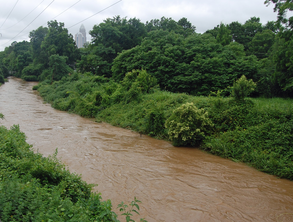
- Little Sugar Creek floods on the western edge — check the flood map for the parcel
- Mecklenburg revalues 1 January 2027, and this neighborhood's sale prices have run well ahead of its 2023 values
How Elizabeth got here
- 1890sDevelopment begins east of uptown on the streetcar line, making Elizabeth the city's second streetcar suburb. It takes its name from Elizabeth College, a women's college on the hill where the hospital now stands.
- 1903Presbyterian Hospital opens, eventually taking over the college site entirely. It is now Novant Health Presbyterian Medical Center, and the campus has shaped the neighborhood's western half ever since.
- 1905Independence Park opens as Charlotte's first public park, laid out on land at the centre of the new suburb.
- 1900s–1930sBungalows, foursquares and larger houses on Queens Road and Greenway Avenue fill the grid, and Elizabeth Avenue becomes the commercial street.
- 1949Independence Boulevard is cut along the western edge, severing the neighborhood from uptown for pedestrians and beginning fifty years of arguments about what the road did to the east side.
- 1960s–2000sCentral Piedmont Community College's main campus grows along Elizabeth Avenue, and the hospital expands. Between them they take a substantial share of the neighborhood's land and generate most of its daytime traffic.
- 2021The Gold Line streetcar's second phase opens, running along Elizabeth Avenue and Hawthorne Lane to a terminus at Sunnyside — the first fixed-route rail service in the neighborhood since the trolleys were removed.
Independence Park, 1905
Independence Park opened in 1905 as Charlotte's first public park and still anchors the neighborhood: tennis courts, ball fields, a rose garden and mature trees, all within a short walk of most of the grid. The Little Sugar Creek Greenway runs along the western boundary, connecting north to uptown and south to Freedom Park without touching a road.

The resident's angle: the park plus the greenway is a better everyday combination than almost anywhere else in Charlotte, and it is the main reason to accept the institutional traffic. The same creek that makes the greenway possible floods, so treat the low western blocks with the usual caution and look at the county floodplain layer rather than the listing.
17 places, with real drive times
Road-adjusted distance and drive time from the centre of the community to each destination, nearest first. Filter by category.
Showing 1–12 of 17 places, nearest first.
Method: distances and drive times are computed from a representative point near Elizabeth Avenue and Hawthorne, using straight-line distance multiplied by a road factor and a tiered speed model — honest ranges, not routed times. Two local exceptions: Independence Boulevard makes the walk to uptown longer than the distance suggests, and hospital shift changes distort every drive figure between 6.30 and 8.
Every gym within reach
Independence Park is the free facility at the centre of the neighborhood — courts, fields and a loop. For a pool and a weight floor the nearest full-service option is the Dowd YMCA in Dilworth, two miles southwest, and there are studios along Elizabeth Avenue and Seventh Street.
- Tennis courts, ball fields and open lawn, a short walk from most of the grid
- The Dowd YMCA in Dilworth is the nearest full-size indoor pool and weight floor
- Studios along Elizabeth Avenue and Seventh Street cover the boutique end
- The Little Sugar Creek Greenway is the off-road running route in both directions
| Facility | What it is | Drive |
|---|---|---|
| Independence Park open | Courts, fields and a loop at the centre of the neighborhood — the free option, and a short walk from most of it. | 2–4 min |
| Dowd YMCA open | 400 East Morehead in Dilworth — the nearest full-service pool and weight floor. | 6–9 min |
The free option is the park plus the greenway — and the neighborhood itself, which has continuous sidewalks and enough shade to be walkable in July, unlike much of the city.
Two application programmes, and an assignment that splits
The two schools closest to Elizabeth are magnets: Elizabeth Traditional Elementary on Park Drive inside the neighborhood, and Piedmont Open IB Middle on East 10th Street. Both admit by application rather than by catchment, so proximity is not entitlement. The home-school assignment is a separate matter and does not follow the neighborhood boundary — part of Elizabeth is assigned to Myers Park High and part is not.
| School | Board | Note |
|---|---|---|
| Elizabeth Traditional Elementary School | CMS | On Park Drive inside the neighborhood. CMS traditional schools are application programmes rather than neighborhood assignments, so living beside it does not guarantee a place. |
| Piedmont Open IB Middle School | CMS | A magnet middle school on East 10th Street, also admitting by application. |
| Myers Park High School | CMS | The high school assignment for part of Elizabeth. The boundary does not follow the neighborhood, so check the address. |
| Central Piedmont Community College | Post-secondary | The main campus runs along Elizabeth Avenue — the largest community college in the region, with trades, nursing and transfer programmes. |
| Charlotte Lab School | Public charter | A K-12 charter on two uptown campuses admitting by county-wide lottery, and a common alternative for families here. |
This is the neighborhood on this site where a listing's school claim is least likely to describe your situation. Check the address in the CMS assignment lookup, and if you are counting on a magnet, check the lottery odds and the timeline — CMS has a magnet and assignment review under way expected to change options from 2027.
Month by month, what living here looks like
Not a highlights reel — the actual annual rhythm, including the dates residents have to remember.
- Highs around 10 °C; the college's winter break makes January the easiest month to park
- The slowest month for listings in a neighborhood where stock is scarce anyway
- Ice on the Hawthorne Lane hill is the winter hazard rather than snow
- The wettest stretch of the winter, and Little Sugar Creek runs high on the western edge
- A good month to view houses — you can see the roofline and the grading without leaves
- Hospital shift-change traffic on Hawthorne is at its most obvious in the dark
- Independence Park's trees and the rose garden come back; the pollen count peaks
- Spring listing season, and Elizabeth's small stock turns over fast when it turns over
- Streetcar ridership picks up with the college term
- Mid-20s and dry — and this is the most pleasant neighborhood in the city to walk in that weather
- Independence Park's courts and fields are busy from seven
- Peak competition for the handful of renovated bungalows on the market
- College graduation puts real traffic on Elizabeth Avenue for a week
- Humidity arrives at the end of the month and stays until late September
- The canopy closes in and the streets get noticeably cooler than Independence Boulevard
- Afternoon thunderstorms arrive fast; old trees over old roofs make limb damage a genuine annual risk
- The college quietens down and parking eases for the summer
- Cooling a 1920s house with an uninsulated attic is the season's main expense
- The hottest month; the canopy is worth several degrees against the boulevard
- Fireworks uptown are visible from the western blocks
- The greenway is the only comfortable route between noon and five
- The college term and the school year both start in late August, and the traffic doubles within a week
- The slowest month of the housing market and the best month to negotiate
- Hospital and campus parking pressure returns to the residential streets
- Hurricane remnants reach the Piedmont as rain and wind
- Little Sugar Creek flooding is the risk on the western blocks — check the map for the parcel
- Evenings drop into the low 20s and Independence Park fills again
- Dry and mid-20s; the greenway and the park are at their busiest
- Neighborhood events run through the month, most of them in Independence Park
- Peak colour is early November here rather than October
- The canopy turns and drops — a real amount of work on small lots with large trees
- Listings thin and negotiation gets easier
- Thanksgiving empties both the campus and the streets
- The college breaks up and the neighborhood becomes briefly residential again
- Highs around 12 °C — mild by any northern standard
- The last window to close before 1 January, which matters more than usual before the 2027 revaluation
20 photographs of Charlotte and the region
Drawn from the site's shared, freely licensed Charlotte photo library — not photographs of Elizabeth itself. Filter by category.


Showing 1–12 of 20 photographs.
About these photographs. Openly licensed images geotagged in or near Elizabeth, found on Wikimedia Commons and served from there with full attribution. Inline photos elsewhere on the page may still come from the site's shared Charlotte library.