Where to live in Charlotte
Charlotte has no river, no coast and no mountain to grow against, so it grew outward until the city limits reached 308 square miles and then kept annexing. What shapes an address here instead is a hundred-year-old pattern: a wedge of wealth running southeast from uptown, a crescent of everything else wrapped around it, and a light rail line that has been quietly redrawing both since 2007. These are 16 neighborhood guides, filterable by side of the city below.
Browse dedicated guides for Uptown and the center city, South Charlotte, East Charlotte, North Charlotte, West Charlotte.
16 communities across the city
Sixteen guides to a city that counts its neighborhoods in the hundreds — the ones people actually name when they say where they live. Filter by side of the city, then page through the rest.

Ballantyne
Two thousand acres of master plan at the South Carolina line, built out of one family's farm, with the schools and the commute that follow from that.

Cotswold
Postwar ranch houses on big lots inside Route 4, being replaced one at a time — the clearest example of a Charlotte teardown market.
Dilworth
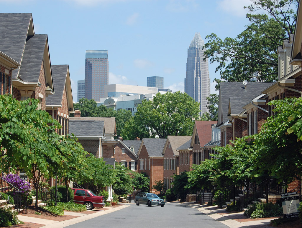
Charlotte's first streetcar suburb, laid out in 1891, and the bungalow blocks that set the pattern for everything built south of uptown since.

Eastland
The Central Avenue corridor: the most linguistically diverse blocks in the Carolinas, and the dead mall site the city spent twenty years arguing over.

Elizabeth
The second-oldest streetcar suburb, wrapped around a hospital campus, and the shortest walk to uptown of anywhere with front porches.

Highland Creek
The far northeast: golf-course subdivisions against the county line, cheaper per square foot than anywhere inside I-485 and further from everything.

Myers Park
Willow oaks planted a century ago over the city's wealthiest square mile, on streets drawn to curve rather than to grid.

NoDa
A 1900s mill village that became the arts district and then the apartment district, with the Blue Line running through the middle of it.
Plaza Midwood
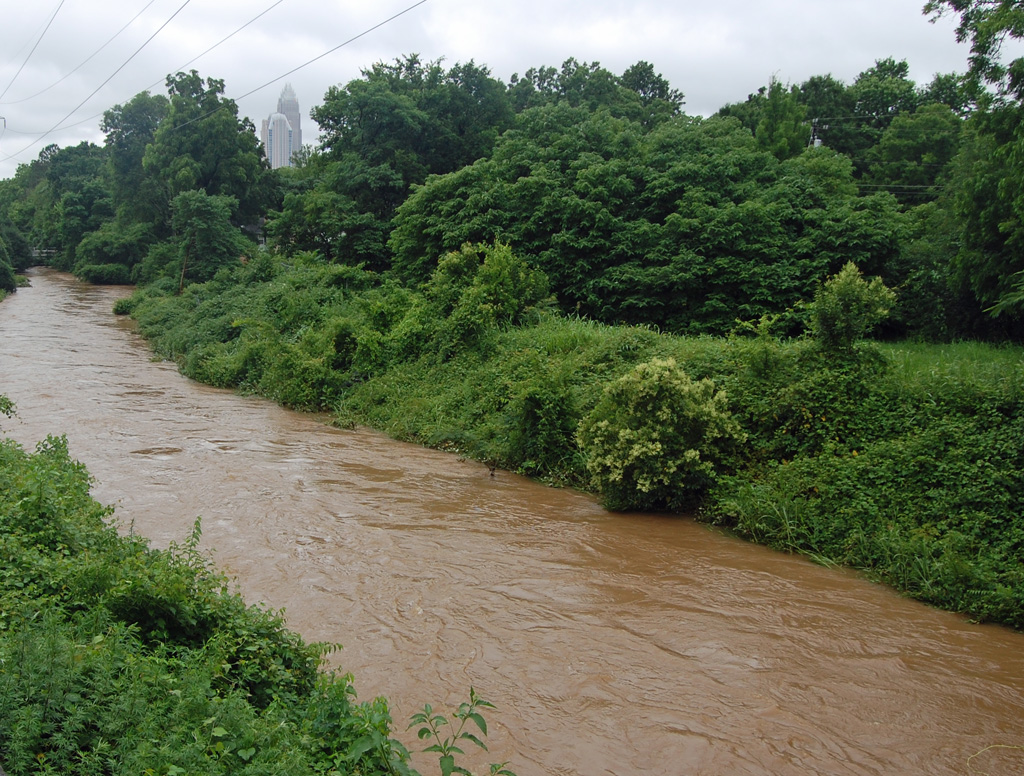
Bungalows, dive bars and the fastest-changing blocks in the city, at the point where east Charlotte's immigrant business corridor begins.

South End
A textile-mill district turned into the densest new construction in the Carolinas, strung along a light rail line and the Rail Trail beside it.

SouthPark
A shopping mall that became a second downtown — office towers, apartment blocks and the highest concentration of retail in the Carolinas.

Steele Creek
The southwest quarter: the airport, the Catawba River, and a hundred years of farmland turning into subdivisions and warehouses at the same time.
Showing 1–12 of 16 communities
The five sides at a glance
The wedge and the crescent is not a metaphor a planner invented after the fact. Charlotte's wealth has run southeast from uptown since the streetcar suburbs of the 1890s, its industry and its Black neighborhoods were pushed north and west, and urban renewal in the 1960s and I-77 and I-277 after it hardened the line. Every price on this site is downstream of that shape.
| Side | Neighborhoods | Character |
|---|---|---|
| Uptown and the center city | Dilworth, South End, Uptown | Uptown inside the I-277 loop, plus the two neighborhoods that grew out of it first: South End along the rail line and Dilworth, the 1891 streetcar suburb that started the whole southward habit. |
| South Charlotte | Ballantyne, Myers Park, SouthPark | The wedge. Myers Park, SouthPark and Ballantyne run southeast from uptown in a widening band of money, and the city's most expensive housing has been in that band for a hundred years. |
| East Charlotte | Cotswold, Eastland, Elizabeth, Plaza Midwood | Plaza Midwood and Elizabeth inside Route 4, Cotswold's ranch houses just outside it, and the Central Avenue corridor beyond — the most linguistically diverse blocks in the Carolinas. |
| North Charlotte | Highland Creek, NoDa, University City | NoDa's mill village, thirty thousand students at University City and the subdivisions of Highland Creek against the county line: the Blue Line's half of the city. |
| West Charlotte | Steele Creek, Wesley Heights, Wilmore | The crescent. Wesley Heights and Wilmore, a mile from uptown and the sharp end of Charlotte's displacement argument, and Steele Creek, where the airport and the Catawba fill the southwest quarter. |
Nobody publishes these boundaries — not the sides, and not the neighborhoods either. The City and the County publish the Charlotte-Mecklenburg Quality of Life Explorer, which divides the county into 457 numbered Neighborhood Profile Areas built from census block groups and loads each one with population, median sale price, tree canopy and eighty other variables. Those are statistical areas, not neighborhoods: one of them covers Dilworth, part of South End and part of Wilmore at once, and there is no profile area over the uptown core at all. So each guide here takes its map point from the OpenStreetMap place node for the name, and quotes Quality of Life figures as covering the neighborhood rather than describing it exactly. The selection leaves real places out — Steele Creek's Berewick, Madison Park, Hidden Valley, Grier Heights, Sedgefield and the whole of Mountain Island among them.